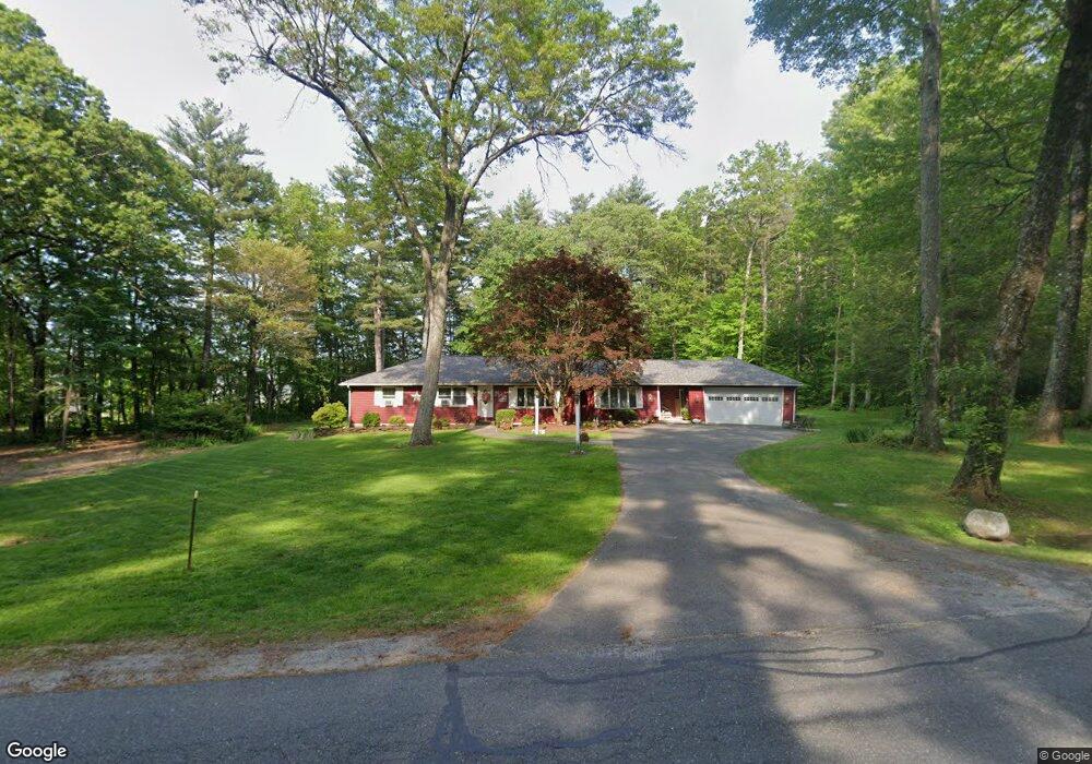
47 Strong Rd Southampton, MA 01073
Estimated Value: $729,025 - $754,000
4
Beds
3
Baths
3,063
Sq Ft
$243/Sq Ft
Est. Value
About This Home
This home is located at 47 Strong Rd, Southampton, MA 01073 and is currently estimated at $743,342, approximately $242 per square foot. 47 Strong Rd is a home located in Hampshire County with nearby schools including William E Norris School, White Oak School, and Calvary Baptist Christian School.
Ownership History
Date
Name
Owned For
Owner Type
Purchase Details
Closed on
Feb 11, 2021
Sold by
Geeleher John D and Geeleher Sherry
Bought by
Delgado William and Delgado Yocelyn F
Current Estimated Value
Home Financials for this Owner
Home Financials are based on the most recent Mortgage that was taken out on this home.
Original Mortgage
$513,000
Outstanding Balance
$458,822
Interest Rate
2.7%
Mortgage Type
Purchase Money Mortgage
Estimated Equity
$284,520
Create a Home Valuation Report for This Property
The Home Valuation Report is an in-depth analysis detailing your home's value as well as a comparison with similar homes in the area
Home Values in the Area
Average Home Value in this Area
Purchase History
| Date | Buyer | Sale Price | Title Company |
|---|---|---|---|
| Delgado William | $540,000 | None Available |
Source: Public Records
Mortgage History
| Date | Status | Borrower | Loan Amount |
|---|---|---|---|
| Open | Delgado William | $513,000 |
Source: Public Records
Tax History Compared to Growth
Tax History
| Year | Tax Paid | Tax Assessment Tax Assessment Total Assessment is a certain percentage of the fair market value that is determined by local assessors to be the total taxable value of land and additions on the property. | Land | Improvement |
|---|---|---|---|---|
| 2025 | $8,036 | $567,100 | $112,900 | $454,200 |
| 2024 | $7,793 | $546,900 | $112,900 | $434,000 |
| 2023 | $7,222 | $504,000 | $112,900 | $391,100 |
| 2022 | $6,679 | $443,200 | $98,400 | $344,800 |
| 2021 | $6,195 | $387,900 | $93,100 | $294,800 |
| 2020 | $6,413 | $405,400 | $93,100 | $312,300 |
| 2019 | $6,208 | $380,600 | $93,100 | $287,500 |
| 2018 | $3,250 | $353,500 | $84,400 | $269,100 |
| 2017 | $5,769 | $353,500 | $84,400 | $269,100 |
| 2015 | $5,403 | $343,900 | $79,500 | $264,400 |
Source: Public Records
Map
Nearby Homes
- 369 College Hwy
- Lot 57 White Loaf Rd
- Lot 5 Gil Farm Rd
- Lot 6 Gil Farm Rd
- 119 Brickyard Rd
- Lot 5 Brickyard Rd
- 216 College Hwy
- 36 County Rd
- 14 Eastwood Dr
- 4 Fitch Farm Way
- 17 Maple St
- 150 Middle Rd
- 94 Pequot Rd (Rear)
- 36 Line St
- 56 Pomeroy St
- 45 Jaeger Dr
- 47 Jaeger Dr
- 95 Gunn Rd
- 405 Rock Valley Rd
- 22 Phelps St
- 47 Strong Rd
- 10 Old Harvest Rd
- 10 Old Harvest Rd
- 10 Old Harvest Rd Unit Lot 5
- 10 Old Harvest Rd
- 8 Old Harvest Rd
- 7 Madeline Way
- 6 Old Harvest Rd
- 3 Madeline Way
- 5 Madeline Way
- 9 Madeline Way
- 4 Old Harvest Rd
- 4 Old Harvest Rd
- 12 Old Harvest Rd
- 7 Old Harvest Rd
- 2 Old Harvest Rd
- 2 Old Harvest Rd
- 2 Old Harvest Rd
- 53 Strong Rd
- 49 Strong Rd