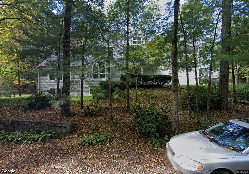
47 Studio Rd Auburndale, MA 02466
Auburndale NeighborhoodEstimated Value: $2,779,860 - $3,327,000
6
Beds
5
Baths
4,244
Sq Ft
$704/Sq Ft
Est. Value
About This Home
This home is located at 47 Studio Rd, Auburndale, MA 02466 and is currently estimated at $2,987,465, approximately $703 per square foot. 47 Studio Rd is a home located in Middlesex County with nearby schools including Williams Elementary School, Charles E Brown Middle School, and Newton South High School.
Ownership History
Date
Name
Owned For
Owner Type
Purchase Details
Closed on
Nov 29, 2016
Sold by
Shea Kevin R and Richland Judith
Bought by
Hemminger John D and Shea Lauren H
Current Estimated Value
Home Financials for this Owner
Home Financials are based on the most recent Mortgage that was taken out on this home.
Original Mortgage
$650,000
Outstanding Balance
$406,919
Interest Rate
3.47%
Mortgage Type
Purchase Money Mortgage
Estimated Equity
$2,580,546
Purchase Details
Closed on
Mar 31, 1989
Sold by
Lasell College
Bought by
Klein Jeffrey
Create a Home Valuation Report for This Property
The Home Valuation Report is an in-depth analysis detailing your home's value as well as a comparison with similar homes in the area
Home Values in the Area
Average Home Value in this Area
Purchase History
| Date | Buyer | Sale Price | Title Company |
|---|---|---|---|
| Hemminger John D | $1,900,000 | -- | |
| Klein Jeffrey | $200,000 | -- |
Source: Public Records
Mortgage History
| Date | Status | Borrower | Loan Amount |
|---|---|---|---|
| Open | Hemminger John D | $650,000 | |
| Previous Owner | Klein Jeffrey | $950,000 | |
| Previous Owner | Klein Jeffrey | $600,000 | |
| Previous Owner | Klein Jeffrey | $600,000 |
Source: Public Records
Tax History
| Year | Tax Paid | Tax Assessment Tax Assessment Total Assessment is a certain percentage of the fair market value that is determined by local assessors to be the total taxable value of land and additions on the property. | Land | Improvement |
|---|---|---|---|---|
| 2025 | $28,117 | $2,869,100 | $1,151,000 | $1,718,100 |
| 2024 | $27,186 | $2,785,500 | $1,117,500 | $1,668,000 |
| 2023 | $26,243 | $2,577,900 | $880,800 | $1,697,100 |
| 2022 | $25,110 | $2,386,900 | $815,600 | $1,571,300 |
| 2021 | $24,229 | $2,251,800 | $769,400 | $1,482,400 |
| 2020 | $23,509 | $2,251,800 | $769,400 | $1,482,400 |
| 2019 | $22,846 | $2,186,200 | $747,000 | $1,439,200 |
| 2018 | $22,173 | $2,049,300 | $666,200 | $1,383,100 |
| 2017 | $21,498 | $1,933,300 | $628,500 | $1,304,800 |
| 2016 | $20,561 | $1,806,800 | $587,400 | $1,219,400 |
| 2015 | $19,605 | $1,688,600 | $549,000 | $1,139,600 |
Source: Public Records
Map
Nearby Homes
- 17 Lasell St
- 194 Auburn St
- 226 Auburn St Unit 226
- 1917 Commonwealth Ave Unit 1917
- 1919 Commonwealth Ave Unit 1919
- 12 Oakwood Rd
- 7 Sharon Ave Unit 7
- 283 Melrose St
- 0 Duncan Rd Unit 72925240
- 2202 Commonwealth Ave Unit 1
- 232 Melrose St Unit 2
- 27 Tennyson Rd
- 305 Webster St Unit 2
- 10 Higgins St
- 0 Metacomet Rd
- 33 Metacomet Rd
- 160 Pine St Unit 15
- 160 Pine St Unit 12
- 31 Wilde Rd
- 40 Sewall St
Your Personal Tour Guide
Ask me questions while you tour the home.