47 Sugarboot Ln Hanover, PA 17331
Estimated Value: $386,000 - $719,949
5
Beds
3
Baths
3,520
Sq Ft
$156/Sq Ft
Est. Value
About This Home
This home is located at 47 Sugarboot Ln, Hanover, PA 17331 and is currently estimated at $548,487, approximately $155 per square foot. 47 Sugarboot Ln is a home located in York County with nearby schools including South Western Senior High School and St Joseph Catholic School.
Ownership History
Date
Name
Owned For
Owner Type
Purchase Details
Closed on
Sep 13, 2023
Sold by
Eckert Tammy Marie
Bought by
Eckert Tammy Marie and Becker Kelly R
Current Estimated Value
Purchase Details
Closed on
Dec 28, 2020
Sold by
Eckert Tammy Marie and Toft Nancy L
Bought by
Eckert Tammy Marie
Purchase Details
Closed on
Jan 9, 2007
Sold by
M & T Bank Manufacturers & Traders Tr Co
Bought by
Toft Nancy L and Fish Nancy L
Purchase Details
Closed on
Dec 15, 1995
Bought by
Farmers Bank & Trust Co
Create a Home Valuation Report for This Property
The Home Valuation Report is an in-depth analysis detailing your home's value as well as a comparison with similar homes in the area
Home Values in the Area
Average Home Value in this Area
Purchase History
| Date | Buyer | Sale Price | Title Company |
|---|---|---|---|
| Eckert Tammy Marie | -- | None Listed On Document | |
| Eckert Tammy Marie | $380,000 | None Available | |
| Toft Nancy L | -- | None Available | |
| Farmers Bank & Trust Co | -- | -- |
Source: Public Records
Tax History Compared to Growth
Tax History
| Year | Tax Paid | Tax Assessment Tax Assessment Total Assessment is a certain percentage of the fair market value that is determined by local assessors to be the total taxable value of land and additions on the property. | Land | Improvement |
|---|---|---|---|---|
| 2025 | $12,160 | $364,080 | $127,660 | $236,420 |
| 2024 | $12,160 | $364,080 | $127,660 | $236,420 |
| 2023 | $11,942 | $364,080 | $127,660 | $236,420 |
| 2022 | $11,756 | $364,080 | $127,660 | $236,420 |
| 2021 | $11,221 | $364,080 | $127,660 | $236,420 |
| 2020 | $11,221 | $364,080 | $127,660 | $236,420 |
| 2019 | $11,006 | $364,080 | $127,660 | $236,420 |
| 2018 | $10,824 | $364,080 | $127,660 | $236,420 |
| 2017 | $10,613 | $364,080 | $127,660 | $236,420 |
| 2016 | $0 | $364,080 | $127,660 | $236,420 |
| 2015 | -- | $364,080 | $127,660 | $236,420 |
| 2014 | -- | $364,080 | $127,660 | $236,420 |
Source: Public Records
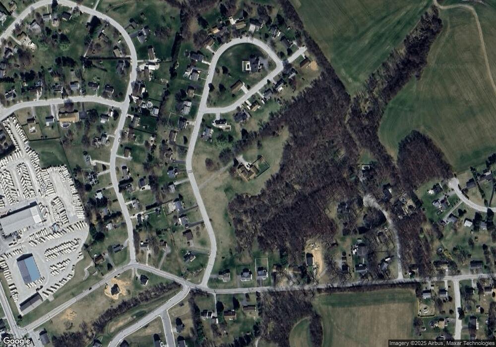
Map
Nearby Homes
- 54 Sugarboot Ln
- 56 Highview Dr
- 42 Highview Dr
- 130 Pheasant Ridge Rd
- TBB Pheasant Ridge Rd Unit CRANBERRY
- 96 Pheasant Ridge Rd
- 0 Homesite 96 Pheasant Ridge Rd Unit 36425314
- 71 Pheasant Ridge Rd
- 59 Pheasant Ridge Rd
- 2040 Waterfall Dr
- 16 Angus Dr
- 229 Holstein Dr Unit 111
- 155 Holstein Dr
- 2401 Baltimore Pike
- Carnegie II Plan at Prinland Heights - Single Family Homes
- Edgewood II Plan at Prinland Heights - Single Family Homes
- Newbury II Plan at Prinland Heights - Single Family Homes
- Cranberry II Plan at Prinland Heights - Single Family Homes
- Bridgeport II Plan at Prinland Heights - Single Family Homes
- Glenshaw Plan at Prinland Heights - Single Family Homes
- 17 Bribery Ln
- 5 Bribery Ln
- 27 Sugarboot Ln
- 27 Bribery Ln
- 0 Sugarboot Ln
- 54 Ugarboot Ln
- 72 Sugarboot Ln
- 92 Sugarboot Ln
- 64 Sugarboot Ln
- 20 Bribery Ln
- 80 Sugarboot Ln
- 44 Sugarboot Ln
- 37 Bribery Ln
- 102 Sugarboot Ln
- 104 Sugarboot Ln
- 30 Sugarboot Ln
- 112 Sugarboot Ln
- 106 Sugarboot Ln
- 47 Bribery Ln
- 152 Fuhrman Mill Rd