47 Suzanne St Little Hocking, OH 45742
Estimated Value: $166,324 - $194,000
3
Beds
1
Bath
1,440
Sq Ft
$124/Sq Ft
Est. Value
About This Home
This home is located at 47 Suzanne St, Little Hocking, OH 45742 and is currently estimated at $178,581, approximately $124 per square foot. 47 Suzanne St is a home located in Washington County with nearby schools including Warren High School.
Ownership History
Date
Name
Owned For
Owner Type
Purchase Details
Closed on
Feb 21, 2003
Bought by
Lang Darren J and Lang Cynthia
Current Estimated Value
Purchase Details
Closed on
Oct 4, 1995
Bought by
Hostottle Philip B
Purchase Details
Closed on
Apr 28, 1993
Bought by
Hostottle Phillip B and Hostottle Be
Purchase Details
Closed on
Oct 9, 1990
Bought by
Holdren Terry J
Purchase Details
Closed on
Feb 8, 1990
Bought by
Wilcoxen Donald A and Wilcoxen Eile
Purchase Details
Closed on
Oct 2, 1989
Purchase Details
Closed on
May 24, 1988
Purchase Details
Closed on
May 2, 1986
Create a Home Valuation Report for This Property
The Home Valuation Report is an in-depth analysis detailing your home's value as well as a comparison with similar homes in the area
Home Values in the Area
Average Home Value in this Area
Purchase History
| Date | Buyer | Sale Price | Title Company |
|---|---|---|---|
| Lang Darren J | $67,000 | -- | |
| Hostottle Philip B | -- | -- | |
| Hostottle Phillip B | $42,000 | -- | |
| Holdren Terry J | $31,000 | -- | |
| Wilcoxen Donald A | $15,000 | -- | |
| -- | -- | -- | |
| -- | -- | -- | |
| -- | -- | -- |
Source: Public Records
Tax History Compared to Growth
Tax History
| Year | Tax Paid | Tax Assessment Tax Assessment Total Assessment is a certain percentage of the fair market value that is determined by local assessors to be the total taxable value of land and additions on the property. | Land | Improvement |
|---|---|---|---|---|
| 2024 | $1,737 | $43,240 | $4,480 | $38,760 |
| 2023 | $1,737 | $43,240 | $4,480 | $38,760 |
| 2022 | $1,729 | $43,240 | $4,480 | $38,760 |
| 2021 | $1,491 | $35,420 | $3,090 | $32,330 |
| 2020 | $1,397 | $35,420 | $3,090 | $32,330 |
| 2019 | $1,378 | $35,420 | $3,090 | $32,330 |
| 2018 | $1,245 | $31,080 | $2,690 | $28,390 |
| 2017 | $1,238 | $31,080 | $2,690 | $28,390 |
| 2016 | $1,081 | $31,080 | $2,690 | $28,390 |
| 2015 | $985 | $27,580 | $2,690 | $24,890 |
| 2014 | $1,375 | $27,580 | $2,690 | $24,890 |
| 2013 | $494 | $27,580 | $2,690 | $24,890 |
Source: Public Records
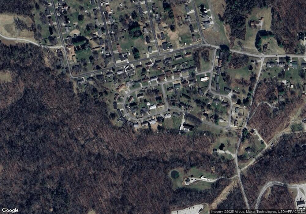
Map
Nearby Homes
- 00 Orchard Dr
- 0 T1309
- 128 Haynes Rd
- 4278 Newbury Rd
- 631 Short Brook Rd
- 1396 State Route 339
- 1462 State Route 339
- 000 Newbury Rd
- 2853 Lake Washington Rd
- 1948 State Route 339
- 0 Newberry Rd Unit 4279424
- 0 Houston Rd
- 0 Houston Rd
- 1175 Collins Rd
- 29500 Houston Rd
- 464 Cave Hill Rd
- 200 Club Dr
- 155 Ridgewood Blvd
- 1421 Hocking Rd
- 1556 Mcgill Rd