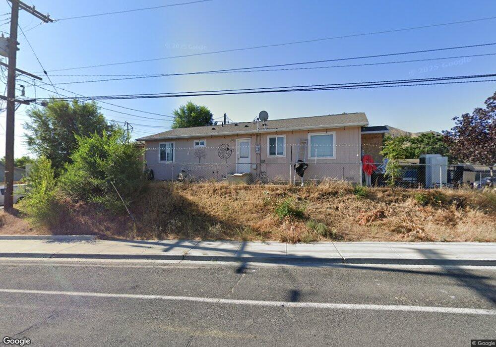
47 Terminal Ave Wenatchee, WA 98801
Estimated Value: $348,000 - $383,000
3
Beds
2
Baths
1,215
Sq Ft
$301/Sq Ft
Est. Value
About This Home
This home is located at 47 Terminal Ave, Wenatchee, WA 98801 and is currently estimated at $366,295, approximately $301 per square foot. 47 Terminal Ave is a home located in Chelan County with nearby schools including Mission View Elementary School, Pioneer Middle School, and Wenatchee High School.
Ownership History
Date
Name
Owned For
Owner Type
Purchase Details
Closed on
Oct 4, 2011
Sold by
Habitat For Humanity Of The Greater Wena
Bought by
Leandro Manuel De Jesus and Sandoval Maria Lorena
Current Estimated Value
Home Financials for this Owner
Home Financials are based on the most recent Mortgage that was taken out on this home.
Original Mortgage
$109,972
Outstanding Balance
$75,222
Interest Rate
4.16%
Mortgage Type
Seller Take Back
Estimated Equity
$291,073
Purchase Details
Closed on
Jan 28, 2009
Sold by
Howton Marjorie Lavonne
Bought by
Habitat For Humanity Of The Greater Wena
Purchase Details
Closed on
May 13, 2008
Sold by
Duncan Robert and Howton Bill
Bought by
Howuton Marjorie Lavonne
Create a Home Valuation Report for This Property
The Home Valuation Report is an in-depth analysis detailing your home's value as well as a comparison with similar homes in the area
Home Values in the Area
Average Home Value in this Area
Purchase History
| Date | Buyer | Sale Price | Title Company |
|---|---|---|---|
| Leandro Manuel De Jesus | $113,971 | Pioneer Title Co | |
| Habitat For Humanity Of The Greater Wena | $36,900 | Central Wash Title Svcs Inc | |
| Howuton Marjorie Lavonne | -- | None Available |
Source: Public Records
Mortgage History
| Date | Status | Borrower | Loan Amount |
|---|---|---|---|
| Open | Leandro Manuel De Jesus | $109,972 |
Source: Public Records
Tax History Compared to Growth
Tax History
| Year | Tax Paid | Tax Assessment Tax Assessment Total Assessment is a certain percentage of the fair market value that is determined by local assessors to be the total taxable value of land and additions on the property. | Land | Improvement |
|---|---|---|---|---|
| 2021 | $3,158 | $307,338 | $69,426 | $237,912 |
| 2020 | $2,577 | $256,929 | $48,450 | $208,479 |
| 2019 | $2,085 | $233,726 | $47,175 | $186,551 |
| 2018 | $2,428 | $193,137 | $42,000 | $151,137 |
| 2017 | $2,305 | $187,625 | $42,000 | $145,625 |
| 2016 | $1,669 | $192,044 | $52,500 | $139,544 |
| 2015 | $1,669 | $167,485 | $50,000 | $117,485 |
| 2013 | $1,669 | $138,316 | $45,000 | $93,316 |
Source: Public Records
Map
Nearby Homes
- 1770 Marker St
- 1704 Frances Ct
- 38 S Viewdale St
- 281 Terminal Ave
- 1535 Historic Ln
- 537 Chrisand Ln
- 576 Saddle Rock Loop
- 203 Marr St
- 100 Simon St SE Unit 40
- 1738 Skylar Ct
- 530 Crawford Ave Unit 19
- 1735 Skeena Ct
- 211 S Pace Dr Unit 30
- 251 Rimrock Way
- 810 Cashmere St
- 812 Ferry St
- 544 N Colorado Ave
- 724 S Chelan Ave
- 815 Highland Dr
- 972 Highline Dr
- 51 Terminal Ave
- 1738 Marker St
- 1771 Judkins St
- 0 Marker St Unit 1248889
- 0 NNA Marker Ave
- 1754 Marker St
- 1754 Marker Ave
- 75 Terminal Ave
- 1775 Judkins St
- 1766 Marker St
- 0 Marker Ave
- 1769 Judkins St
- 1779 Judkins St
- 1780 Marker St
- 1745 Marker St
- 1737 Marker St
- 1749 Marker St
- 1791 Judkins St
- 1776 Judkins St
- 85 Terminal Ave