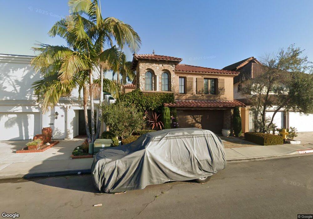
47 The Point Coronado, CA 92118
Silver Strand NeighborhoodEstimated Value: $3,154,817 - $3,679,000
5
Beds
4
Baths
3,290
Sq Ft
$1,048/Sq Ft
Est. Value
About This Home
This home is located at 47 The Point, Coronado, CA 92118 and is currently estimated at $3,448,606, approximately $1,048 per square foot. 47 The Point is a home located in San Diego County with nearby schools including Silver Strand Elementary School, Coronado Middle School, and Coronado High School.
Ownership History
Date
Name
Owned For
Owner Type
Purchase Details
Closed on
Dec 20, 2010
Sold by
Melrose Resources Ltd
Bought by
Close Trustees Cayman Limited
Current Estimated Value
Purchase Details
Closed on
Dec 6, 1995
Sold by
Alabbar Mohamed Ali
Bought by
Melrose Resources Ltd
Purchase Details
Closed on
Nov 30, 1993
Sold by
Alqubaisi Mariam Nader M
Bought by
Alabbar Mohamed Ali
Purchase Details
Closed on
Sep 22, 1993
Sold by
Turbow Allan M and Turbow Eleanor A
Bought by
Alabbar Mohamed Ali
Home Financials for this Owner
Home Financials are based on the most recent Mortgage that was taken out on this home.
Original Mortgage
$488,000
Interest Rate
6.74%
Mortgage Type
Purchase Money Mortgage
Create a Home Valuation Report for This Property
The Home Valuation Report is an in-depth analysis detailing your home's value as well as a comparison with similar homes in the area
Home Values in the Area
Average Home Value in this Area
Purchase History
| Date | Buyer | Sale Price | Title Company |
|---|---|---|---|
| Close Trustees Cayman Limited | $3,000,000 | None Available | |
| Melrose Resources Ltd | $790,000 | Fidelity National Title | |
| Alabbar Mohamed Ali | -- | Fidelity National Title | |
| Alabbar Mohamed Ali | $610,000 | Fidelity National Title |
Source: Public Records
Mortgage History
| Date | Status | Borrower | Loan Amount |
|---|---|---|---|
| Previous Owner | Alabbar Mohamed Ali | $488,000 |
Source: Public Records
Tax History
| Year | Tax Paid | Tax Assessment Tax Assessment Total Assessment is a certain percentage of the fair market value that is determined by local assessors to be the total taxable value of land and additions on the property. | Land | Improvement |
|---|---|---|---|---|
| 2025 | $15,355 | $1,430,604 | $664,498 | $766,106 |
| 2024 | $15,355 | $1,402,554 | $651,469 | $751,085 |
| 2023 | $15,113 | $1,375,054 | $638,696 | $736,358 |
| 2022 | $14,829 | $1,348,093 | $626,173 | $721,920 |
| 2021 | $14,612 | $1,321,661 | $613,896 | $707,765 |
| 2020 | $14,207 | $1,308,110 | $607,602 | $700,508 |
| 2019 | $14,160 | $1,282,462 | $595,689 | $686,773 |
| 2018 | $13,921 | $1,257,316 | $584,009 | $673,307 |
| 2017 | $13,661 | $1,232,663 | $572,558 | $660,105 |
| 2016 | $13,235 | $1,208,494 | $561,332 | $647,162 |
| 2015 | $13,018 | $1,190,343 | $552,901 | $637,442 |
| 2014 | $12,697 | $1,167,027 | $542,071 | $624,956 |
Source: Public Records
Map
Nearby Homes
- 39 The Point
- 25 The Point
- 22 Montego Ct
- 50 Montego Ct
- 90 Montego Ct
- 69 Half Moon Bend
- 106 Antigua Ct Unit 4
- 38 Antigua Ct
- 6 Kingston Ct E
- 6 Buccaneer Way
- 5 Spinnaker Way
- 12 Buccaneer Way
- 21 Spinnaker Way
- 35 Buccaneer Way
- 48 Spinnaker Way
- 52 Spinnaker Way
- 55 Spinnaker Way
- 58 Aruba Bend
- 51 Delaport Place
- 100 Woodlawn Ave Unit 95
Your Personal Tour Guide
Ask me questions while you tour the home.