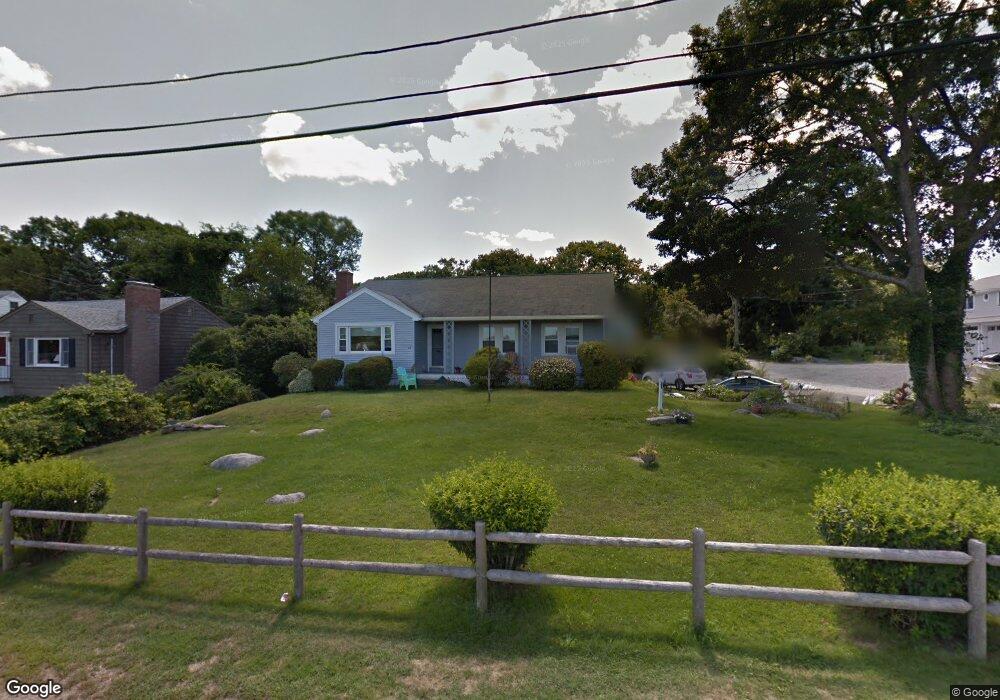
47 Thurston Point Rd Gloucester, MA 01930
Riverview NeighborhoodEstimated Value: $691,049 - $778,000
2
Beds
2
Baths
1,384
Sq Ft
$525/Sq Ft
Est. Value
About This Home
This home is located at 47 Thurston Point Rd, Gloucester, MA 01930 and is currently estimated at $726,512, approximately $524 per square foot. 47 Thurston Point Rd is a home located in Essex County with nearby schools including Beeman Memorial, Ralph B O'maley Middle School, and Gloucester High School.
Ownership History
Date
Name
Owned For
Owner Type
Purchase Details
Closed on
Mar 31, 2010
Sold by
Cole Amy G
Bought by
Cole Mark S and Cole Amy G
Current Estimated Value
Home Financials for this Owner
Home Financials are based on the most recent Mortgage that was taken out on this home.
Original Mortgage
$144,000
Interest Rate
4.94%
Mortgage Type
Purchase Money Mortgage
Purchase Details
Closed on
Sep 28, 2007
Sold by
Greer Robert A
Bought by
Greer Ft
Purchase Details
Closed on
Nov 22, 1994
Sold by
Greer William Est
Bought by
Greer Robert A
Create a Home Valuation Report for This Property
The Home Valuation Report is an in-depth analysis detailing your home's value as well as a comparison with similar homes in the area
Home Values in the Area
Average Home Value in this Area
Purchase History
| Date | Buyer | Sale Price | Title Company |
|---|---|---|---|
| Cole Mark S | -- | -- | |
| Cole Amy G | $144,000 | -- | |
| Ashe Pamela Alicia | -- | -- | |
| Greer Ft | -- | -- | |
| Greer Robert A | $72,000 | -- |
Source: Public Records
Mortgage History
| Date | Status | Borrower | Loan Amount |
|---|---|---|---|
| Closed | Greer Robert A | $170,000 | |
| Closed | Greer Robert A | $144,000 | |
| Previous Owner | Greer Robert A | $30,000 |
Source: Public Records
Tax History
| Year | Tax Paid | Tax Assessment Tax Assessment Total Assessment is a certain percentage of the fair market value that is determined by local assessors to be the total taxable value of land and additions on the property. | Land | Improvement |
|---|---|---|---|---|
| 2025 | $5,691 | $585,500 | $257,700 | $327,800 |
| 2024 | $5,528 | $568,100 | $245,400 | $322,700 |
| 2023 | $5,664 | $534,800 | $219,100 | $315,700 |
| 2022 | $5,315 | $453,100 | $186,300 | $266,800 |
| 2021 | $5,314 | $427,200 | $169,400 | $257,800 |
| 2020 | $4,996 | $405,200 | $169,400 | $235,800 |
| 2019 | $4,986 | $392,900 | $169,400 | $223,500 |
| 2018 | $4,952 | $383,000 | $169,400 | $213,600 |
| 2017 | $4,883 | $370,200 | $161,300 | $208,900 |
| 2016 | $4,667 | $342,900 | $161,800 | $181,100 |
| 2015 | $4,606 | $337,400 | $161,800 | $175,600 |
Source: Public Records
Map
Nearby Homes
- 13 Honeysuckle Rd
- 2 Breezy Point Rd
- 3 Deacon Farm Ln
- 31 Echo Ave
- 167 Atlantic St
- 178 Atlantic St
- 672 Washington St
- 226 Atlantic St
- 13 Mystic Ave
- 8 Mystic Ave
- 6 Monroe Ct
- 98 Maplewood Ave
- 9 Cleveland Place
- 12 Arthur St
- 5 Samoset Rd Unit B
- 145 Essex Ave Unit 402
- 40 Sargent St
- 15 Harvard St
- 24 Cobblestone Ln Unit 603
- 5 Lepage Ln
- 1 Mako Dr Unit 1
- 1 Mako Dr
- 62 Thurston Point Rd
- 4 Mako Dr
- 64 Thurston Point Rd
- 2 Cedar Ln
- 51 Thurston Point Rd
- Lot 11E Road b
- 3 Mako Dr
- 41 Thurston Point Rd
- 41 Thurston Point Rd
- 66 Thurston Point Rd
- 6 Mako Dr
- 1 Cedar Ln
- 53 Thurston Point Rd
- 4 Cedar Ln
- 37 Thurston Point Rd
- 09 Cedar Ln
- 68 Thurston Point Rd
- 3 Cedar Ln
Your Personal Tour Guide
Ask me questions while you tour the home.