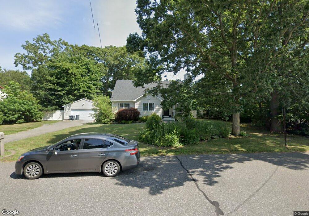
47 Tipton Dr W Shirley, NY 11967
Estimated Value: $543,000 - $630,000
3
Beds
2
Baths
1,652
Sq Ft
$356/Sq Ft
Est. Value
About This Home
This home is located at 47 Tipton Dr W, Shirley, NY 11967 and is currently estimated at $588,435, approximately $356 per square foot. 47 Tipton Dr W is a home located in Suffolk County with nearby schools including Nathaniel Woodhull Elementary School, William Paca Middle School, and William Floyd High School.
Ownership History
Date
Name
Owned For
Owner Type
Purchase Details
Closed on
Sep 15, 2011
Sold by
Valentin William
Bought by
Martucci Douglas
Current Estimated Value
Home Financials for this Owner
Home Financials are based on the most recent Mortgage that was taken out on this home.
Original Mortgage
$204,171
Outstanding Balance
$143,821
Interest Rate
4.87%
Mortgage Type
FHA
Estimated Equity
$444,614
Purchase Details
Closed on
Jul 23, 1999
Sold by
Boles Douglas and Tyte Arthur M
Bought by
Guiliano Samuel
Home Financials for this Owner
Home Financials are based on the most recent Mortgage that was taken out on this home.
Original Mortgage
$85,000
Interest Rate
7.61%
Purchase Details
Closed on
Dec 31, 1998
Sold by
Giella Connie
Bought by
Boles Douglas and Tyte Arthur M
Create a Home Valuation Report for This Property
The Home Valuation Report is an in-depth analysis detailing your home's value as well as a comparison with similar homes in the area
Home Values in the Area
Average Home Value in this Area
Purchase History
| Date | Buyer | Sale Price | Title Company |
|---|---|---|---|
| Martucci Douglas | $209,500 | -- | |
| Guiliano Samuel | $128,000 | Chicago Title Insurance Co | |
| Boles Douglas | $24,000 | Fidelity National Title Ins |
Source: Public Records
Mortgage History
| Date | Status | Borrower | Loan Amount |
|---|---|---|---|
| Open | Martucci Douglas | $204,171 | |
| Previous Owner | Guiliano Samuel | $85,000 |
Source: Public Records
Tax History Compared to Growth
Tax History
| Year | Tax Paid | Tax Assessment Tax Assessment Total Assessment is a certain percentage of the fair market value that is determined by local assessors to be the total taxable value of land and additions on the property. | Land | Improvement |
|---|---|---|---|---|
| 2024 | $8,510 | $2,250 | $400 | $1,850 |
| 2023 | $8,510 | $2,250 | $400 | $1,850 |
| 2022 | $9,040 | $2,250 | $400 | $1,850 |
| 2021 | $9,040 | $2,250 | $400 | $1,850 |
| 2020 | $9,254 | $2,250 | $400 | $1,850 |
| 2019 | $9,254 | $0 | $0 | $0 |
| 2018 | $8,879 | $2,250 | $400 | $1,850 |
| 2017 | $8,879 | $2,250 | $400 | $1,850 |
| 2016 | $8,892 | $2,250 | $400 | $1,850 |
| 2015 | -- | $2,250 | $400 | $1,850 |
| 2014 | -- | $2,250 | $400 | $1,850 |
Source: Public Records
Map
Nearby Homes
- 42 Adobe Dr
- 43 Ranch Dr
- 43 Adobe Dr
- 33 Breston Dr W
- 33 Ranch Dr
- 23 Tipton Dr W
- 0 Amarr Dr Unit KEYL3493702
- 17 Appel Dr E
- 68 Alder Ln
- 55 Lama Dr
- 64 Greentree Ct
- 80 Breston Dr E
- 28 Beacon St
- 11 The Green
- 6 Loughlin Dr
- 41 Greentree Ct
- V LAND The Green
- 72 Propose Rd
- VL - (Sec 937 Lot 14 The Green
- Vacant Lot The Green