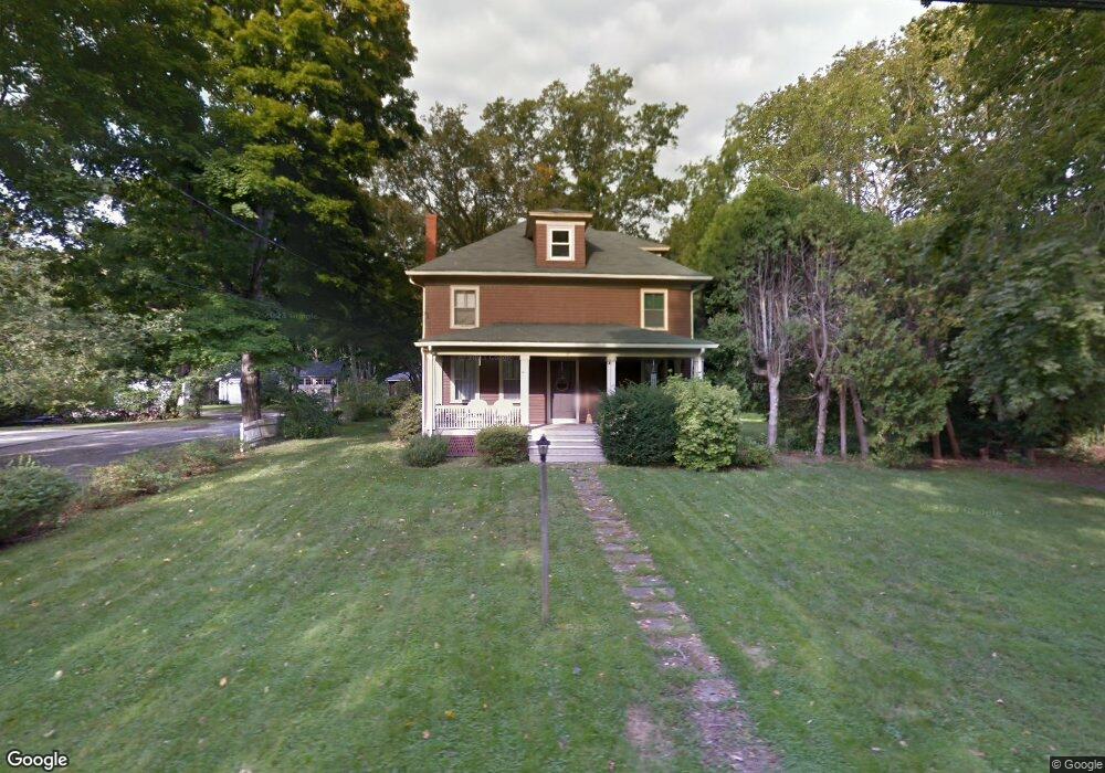
47 Walnut Rd Barrington, RI 02806
North Barrington NeighborhoodEstimated Value: $627,000 - $775,000
4
Beds
2
Baths
2,191
Sq Ft
$321/Sq Ft
Est. Value
About This Home
This home is located at 47 Walnut Rd, Barrington, RI 02806 and is currently estimated at $702,336, approximately $320 per square foot. 47 Walnut Rd is a home located in Bristol County with nearby schools including Barrington High School, St Luke Elementary School, and Barrington Christian Academy.
Ownership History
Date
Name
Owned For
Owner Type
Purchase Details
Closed on
May 26, 2010
Sold by
Gallagher Diane and Feeley Jeanne
Bought by
Flaherty Michael and Flaherty Kathy
Current Estimated Value
Home Financials for this Owner
Home Financials are based on the most recent Mortgage that was taken out on this home.
Original Mortgage
$356,000
Outstanding Balance
$240,457
Interest Rate
5.13%
Mortgage Type
Purchase Money Mortgage
Estimated Equity
$461,879
Create a Home Valuation Report for This Property
The Home Valuation Report is an in-depth analysis detailing your home's value as well as a comparison with similar homes in the area
Home Values in the Area
Average Home Value in this Area
Purchase History
| Date | Buyer | Sale Price | Title Company |
|---|---|---|---|
| Flaherty Michael | $445,000 | -- |
Source: Public Records
Mortgage History
| Date | Status | Borrower | Loan Amount |
|---|---|---|---|
| Open | Flaherty Michael | $356,000 | |
| Previous Owner | Flaherty Michael | $10,000 |
Source: Public Records
Tax History Compared to Growth
Tax History
| Year | Tax Paid | Tax Assessment Tax Assessment Total Assessment is a certain percentage of the fair market value that is determined by local assessors to be the total taxable value of land and additions on the property. | Land | Improvement |
|---|---|---|---|---|
| 2025 | $6,842 | $446,000 | $273,000 | $173,000 |
| 2024 | $6,579 | $446,000 | $273,000 | $173,000 |
| 2023 | $6,557 | $323,000 | $158,000 | $165,000 |
| 2022 | $6,347 | $323,000 | $158,000 | $165,000 |
| 2021 | $6,185 | $323,000 | $158,000 | $165,000 |
| 2020 | $7,440 | $356,000 | $133,000 | $223,000 |
| 2019 | $7,156 | $356,000 | $133,000 | $223,000 |
| 2018 | $6,942 | $356,000 | $133,000 | $223,000 |
| 2017 | $6,658 | $332,900 | $131,900 | $201,000 |
| 2016 | $6,142 | $332,900 | $131,900 | $201,000 |
| 2015 | $6,075 | $332,900 | $131,900 | $201,000 |
| 2014 | $5,935 | $324,300 | $134,600 | $189,700 |
Source: Public Records
Map
Nearby Homes
- 0 Bogman Rd
- 11 Houghton St
- 27 Rosedale Ave
- 4 Magnolia Ln
- 45 Washington Rd
- 303 Washington Rd
- 164 Bay Spring Ave
- 9 Sherwood Ln
- 57 Middle Hwy
- 28 Washington Rd
- 33 Upland Way
- 5 Williams St
- 3 Echo Dr
- 150 Alfred Drowne Rd
- 205 Lincoln Ave
- 12 Sachem Rd
- 15 Stanhope Dr
- 12 N Shore Dr
- 76 Beverly Rd
- 18 Allison Ct