Estimated Value: $489,069 - $544,000
3
Beds
3
Baths
3,459
Sq Ft
$148/Sq Ft
Est. Value
About This Home
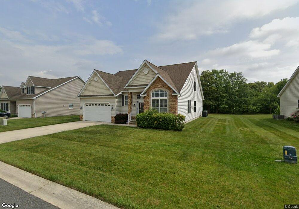
This home is located at 47 Winesap Ln, Dover, DE 19901 and is currently estimated at $510,267, approximately $147 per square foot. 47 Winesap Ln is a home located in Kent County with nearby schools including Nellie Hughes Stokes Elementary School, Fred Fifer Middle School, and Caesar Rodney High School.
Ownership History
Date
Name
Owned For
Owner Type
Purchase Details
Closed on
Dec 29, 2006
Sold by
Longacre Village Llc
Bought by
Tlfd Management Llc
Current Estimated Value
Home Financials for this Owner
Home Financials are based on the most recent Mortgage that was taken out on this home.
Original Mortgage
$3,500,000
Interest Rate
6.24%
Mortgage Type
Construction
Create a Home Valuation Report for This Property
The Home Valuation Report is an in-depth analysis detailing your home's value as well as a comparison with similar homes in the area
Home Values in the Area
Average Home Value in this Area
Purchase History
| Date | Buyer | Sale Price | Title Company |
|---|---|---|---|
| Tlfd Management Llc | $23,400 | None Available |
Source: Public Records
Mortgage History
| Date | Status | Borrower | Loan Amount |
|---|---|---|---|
| Closed | Tlfd Management Llc | $3,500,000 |
Source: Public Records
Tax History
| Year | Tax Paid | Tax Assessment Tax Assessment Total Assessment is a certain percentage of the fair market value that is determined by local assessors to be the total taxable value of land and additions on the property. | Land | Improvement |
|---|---|---|---|---|
| 2025 | $2,169 | $430,200 | $76,800 | $353,400 |
| 2024 | $2,128 | $430,200 | $76,800 | $353,400 |
| 2023 | $2,154 | $68,400 | $4,300 | $64,100 |
| 2022 | $2,029 | $68,400 | $4,300 | $64,100 |
| 2021 | $2,010 | $68,400 | $4,300 | $64,100 |
| 2020 | $1,963 | $68,400 | $4,300 | $64,100 |
| 2019 | $1,898 | $68,400 | $4,300 | $64,100 |
| 2018 | $1,849 | $68,400 | $4,300 | $64,100 |
| 2017 | $1,781 | $68,400 | $0 | $0 |
| 2016 | $1,716 | $68,400 | $0 | $0 |
| 2015 | $1,486 | $68,400 | $0 | $0 |
| 2014 | $1,480 | $68,400 | $0 | $0 |
Source: Public Records
Map
Nearby Homes
- 268 N Red Haven Ln
- 39 Starfire Ct
- 235 Fawn Haven Walk
- 1041 Fawn Haven Walk
- 850 Brookfield Dr
- 870 Brookfield Dr
- Aster Plan at Brookfield
- Linden Plan at Brookfield
- Beech Plan at Brookfield
- Garrett Plan at Brookfield
- Sycamore Plan at Brookfield
- Red Maple Plan at Brookfield
- LOT 102 AST King Henry Ct
- LOT 105 SYC Brookfield Dr
- Lot 22 Bee Brookfield Dr
- 3182 Upper King Rd
- 0 Merritt Dr Unit DEKT2043968
- 45 Capricorn Way
- 104 Lake Front Dr
- 256 Headstart Ln
Your Personal Tour Guide
Ask me questions while you tour the home.