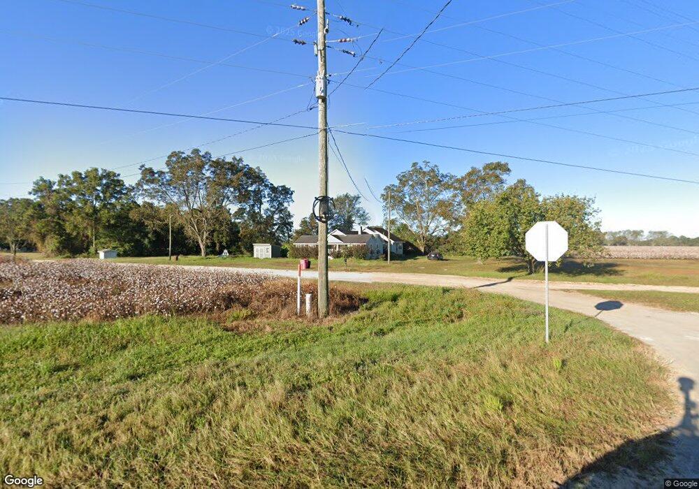
470 Arnold Rd Surrency, GA 31563
Estimated Value: $176,917 - $296,000
--
Bed
1
Bath
1,638
Sq Ft
$142/Sq Ft
Est. Value
About This Home
This home is located at 470 Arnold Rd, Surrency, GA 31563 and is currently estimated at $231,979, approximately $141 per square foot. 470 Arnold Rd is a home located in Appling County.
Ownership History
Date
Name
Owned For
Owner Type
Purchase Details
Closed on
Sep 27, 2010
Sold by
Forehand Tony
Bought by
Daniels Jessica
Current Estimated Value
Home Financials for this Owner
Home Financials are based on the most recent Mortgage that was taken out on this home.
Original Mortgage
$50,000
Interest Rate
4.42%
Mortgage Type
New Conventional
Purchase Details
Closed on
Mar 21, 2009
Sold by
Forehand Tony
Bought by
Forehand Tony and Forehand Susan Rebecca
Home Financials for this Owner
Home Financials are based on the most recent Mortgage that was taken out on this home.
Original Mortgage
$106,328
Interest Rate
5.1%
Mortgage Type
FHA
Purchase Details
Closed on
May 28, 2003
Sold by
Morris Steven M and Morris Paula
Bought by
Forehand Tony
Purchase Details
Closed on
Mar 17, 1992
Bought by
Morris Steven M
Create a Home Valuation Report for This Property
The Home Valuation Report is an in-depth analysis detailing your home's value as well as a comparison with similar homes in the area
Home Values in the Area
Average Home Value in this Area
Purchase History
| Date | Buyer | Sale Price | Title Company |
|---|---|---|---|
| Daniels Jessica | $85,000 | -- | |
| Forehand Tony | -- | -- | |
| Forehand Tony | $50,000 | -- | |
| Morris Steven M | -- | -- |
Source: Public Records
Mortgage History
| Date | Status | Borrower | Loan Amount |
|---|---|---|---|
| Closed | Daniels Jessica | $50,000 | |
| Previous Owner | Forehand Tony | $106,328 |
Source: Public Records
Tax History Compared to Growth
Tax History
| Year | Tax Paid | Tax Assessment Tax Assessment Total Assessment is a certain percentage of the fair market value that is determined by local assessors to be the total taxable value of land and additions on the property. | Land | Improvement |
|---|---|---|---|---|
| 2024 | $1,283 | $58,278 | $1,924 | $56,354 |
| 2023 | $1,283 | $58,278 | $1,924 | $56,354 |
| 2022 | $715 | $33,734 | $1,924 | $31,810 |
| 2021 | $714 | $33,734 | $1,924 | $31,810 |
| 2020 | $745 | $33,734 | $1,924 | $31,810 |
| 2019 | $762 | $33,734 | $1,924 | $31,810 |
| 2018 | $778 | $33,734 | $1,924 | $31,810 |
| 2017 | $777 | $33,734 | $1,924 | $31,810 |
| 2016 | $777 | $33,734 | $1,924 | $31,810 |
| 2015 | $779 | $33,733 | $1,924 | $31,810 |
| 2014 | $780 | $33,734 | $1,924 | $31,810 |
| 2013 | -- | $33,733 | $1,923 | $31,810 |
Source: Public Records
Map
Nearby Homes
- 82 Harris Rd
- 6362 Georgia 121
- 540 Freddy Rd
- 288 Robin Rd
- 0 Ward Boyette Rd
- 0 Metts-Overstreet Rd
- TRACT 2 Pine Cone Trail
- TRACT 3 Pine Cone Trail
- TRACT 11 Pine Cone Trail
- 0 Pine Cone Trail
- TRACT 5 Pine Cone Trail
- TRACT 7 Pine Cone Trail
- TRACT 9 Pine Cone Trail
- 0 Crump Rd
- 4866 Kville Rd
- 0 Kville Rd Unit 10596074
- 0 Kville Rd
- 290 ACRES Georgia 121
- 1564 Eagles Point
- 0 Eagles Point Unit LOT 8
- 0 Blackshear Hwy Unit 10137993
- 0 Blackshear Hwy Unit 145198
- 0 Blackshear Hwy Unit 10089221
- 0 Blackshear Hwy Unit 10089220
- 0 Blackshear Hwy Unit 10089218
- 0 Blackshear Hwy Unit 1636195
- 243 Arnold Rd
- 114 Morris Rd
- 279 Rainwater Rd
- 37 Rainwater Rd
- 68 Arnold Rd
- 522 Morris Rd
- 298 Tomberlin Cemetery Rd
- 675 Zion Church of God Rd
- 12622 Blackshear Hwy
- 509 Zion Church of God Rd
- 0 Blackshear Hwy Unit 21230
- 0 Blackshear Hwy Unit 10238883
- 0 Blackshear Hwy Unit 20740
- 0 Blackshear Hwy Unit 10165857
