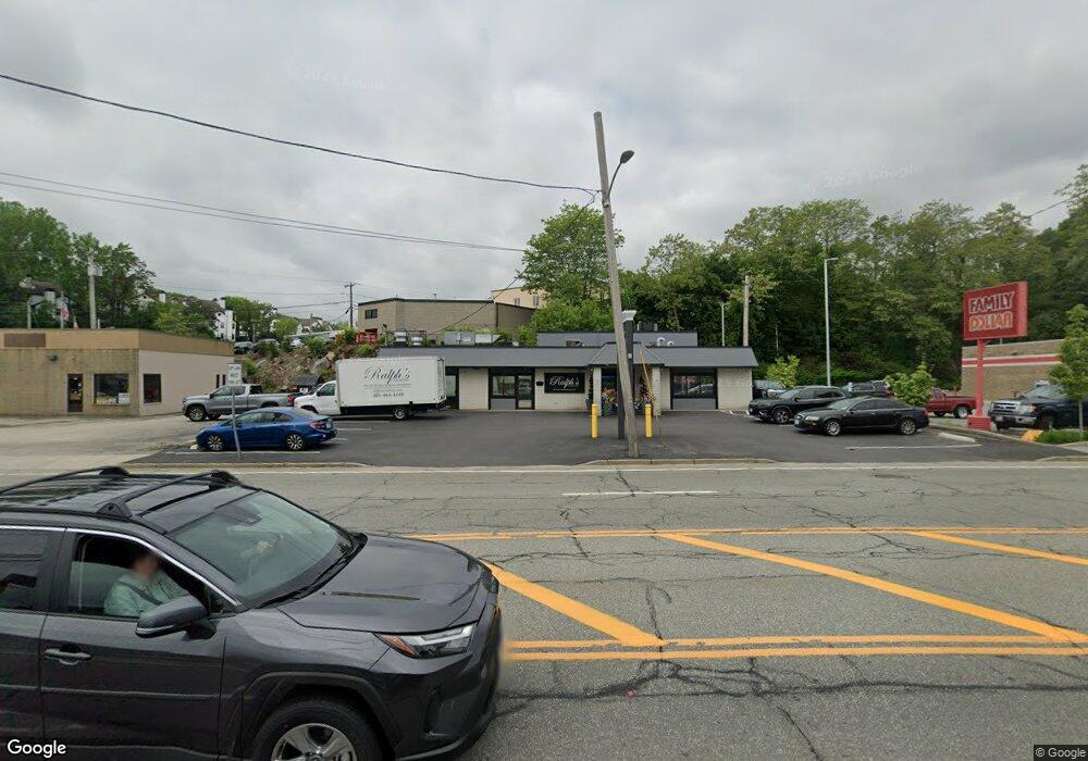
470 Atwood Ave Cranston, RI 02920
Thornton NeighborhoodEstimated Value: $651,757
--
Bed
--
Bath
4,100
Sq Ft
$159/Sq Ft
Est. Value
About This Home
This home is located at 470 Atwood Ave, Cranston, RI 02920 and is currently estimated at $651,757, approximately $158 per square foot. 470 Atwood Ave is a home located in Providence County with nearby schools including Stone Hill School, Western Hills Middle School, and Cranston High School West.
Ownership History
Date
Name
Owned For
Owner Type
Purchase Details
Closed on
Aug 27, 2018
Sold by
Gaspar John J
Bought by
470 Atwood Llc
Current Estimated Value
Home Financials for this Owner
Home Financials are based on the most recent Mortgage that was taken out on this home.
Original Mortgage
$275,000
Outstanding Balance
$93,319
Interest Rate
4.5%
Mortgage Type
Purchase Money Mortgage
Estimated Equity
$558,438
Create a Home Valuation Report for This Property
The Home Valuation Report is an in-depth analysis detailing your home's value as well as a comparison with similar homes in the area
Home Values in the Area
Average Home Value in this Area
Purchase History
| Date | Buyer | Sale Price | Title Company |
|---|---|---|---|
| 470 Atwood Llc | $375,000 | -- |
Source: Public Records
Mortgage History
| Date | Status | Borrower | Loan Amount |
|---|---|---|---|
| Open | 470 Atwood Llc | $275,000 |
Source: Public Records
Tax History Compared to Growth
Tax History
| Year | Tax Paid | Tax Assessment Tax Assessment Total Assessment is a certain percentage of the fair market value that is determined by local assessors to be the total taxable value of land and additions on the property. | Land | Improvement |
|---|---|---|---|---|
| 2025 | $10,566 | $507,500 | $165,100 | $342,400 |
| 2024 | $10,363 | $507,500 | $165,100 | $342,400 |
| 2023 | $11,680 | $412,000 | $141,900 | $270,100 |
| 2022 | $11,441 | $412,000 | $141,900 | $270,100 |
| 2021 | $11,124 | $412,000 | $141,900 | $270,100 |
| 2020 | $12,576 | $403,600 | $130,700 | $272,900 |
| 2019 | $12,576 | $403,600 | $130,700 | $272,900 |
| 2018 | $12,286 | $403,600 | $130,700 | $272,900 |
| 2017 | $13,193 | $383,400 | $119,500 | $263,900 |
| 2016 | $12,913 | $383,400 | $119,500 | $263,900 |
| 2015 | $12,913 | $383,400 | $119,500 | $263,900 |
| 2014 | $11,988 | $349,900 | $149,400 | $200,500 |
Source: Public Records
Map
Nearby Homes
- 93 Elena St
- 00 Burton St
- 83 Valente Dr
- 86 Sherwood St
- 54 Randall St
- 30 Fletcher Ave
- 1574 Cranston St
- 14 New Hampshire St
- 82 Clemence St
- 0 Clemence St
- 80 Phenix Ave
- 50 Tacoma St
- 70 Florida Ave
- 91 Curry Rd
- 34 Aldrich Ave
- 50 Clemence St Unit 50
- 73 Maple Ave
- 70 Pocasset St
- 9 Southern St
- 92 Rhode Island St
- 471 Atwood Ave
- 453 Atwood Ave
- 481 Atwood Ave
- 0 Berry St
- 432 Atwood Ave
- 0 Walnut Grove Ave
- 80 Libera St
- 52 Walnut Grove Ave
- 66 Libera St
- 505 Atwood Ave
- 31 Libera St
- 516 Atwood Ave
- 50 Libera St
- 90 Liberia St
- 420 Atwood Ave
- 552 Atwood Ave
- 60 Walnut Grove Ave
- 27 Libera St
- 2 Burton St
- 2 Burton St Unit 11