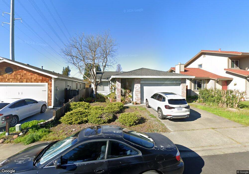
470 Manka Cir Santa Rosa, CA 95403
Estimated Value: $598,248 - $675,000
3
Beds
2
Baths
1,257
Sq Ft
$509/Sq Ft
Est. Value
About This Home
This home is located at 470 Manka Cir, Santa Rosa, CA 95403 and is currently estimated at $639,812, approximately $508 per square foot. 470 Manka Cir is a home located in Sonoma County with nearby schools including Santa Rosa Middle School, Santa Rosa High School, and San Miguel Elementary School.
Ownership History
Date
Name
Owned For
Owner Type
Purchase Details
Closed on
Mar 6, 2020
Sold by
Wyshek Gary
Bought by
Wyshel Srw Llc
Current Estimated Value
Purchase Details
Closed on
Dec 4, 2019
Sold by
Rafidison Aprille and Cynthia Perry Family Trust
Bought by
Wyshel Gary
Purchase Details
Closed on
Aug 2, 2018
Sold by
Perry Cynthia
Bought by
Perry Cynthia and Cynthia Perry Family Trust
Purchase Details
Closed on
Oct 13, 2016
Sold by
Perry Perry Cynthia Cynthia and Perry Manuel C
Bought by
Perry Cynthia and Manuel C Perry Survivors Trust
Create a Home Valuation Report for This Property
The Home Valuation Report is an in-depth analysis detailing your home's value as well as a comparison with similar homes in the area
Home Values in the Area
Average Home Value in this Area
Purchase History
| Date | Buyer | Sale Price | Title Company |
|---|---|---|---|
| Wyshel Srw Llc | -- | None Available | |
| Wyshel Gary | -- | None Available | |
| Perry Cynthia | -- | None Available | |
| Perry Cynthia | -- | None Available |
Source: Public Records
Tax History Compared to Growth
Tax History
| Year | Tax Paid | Tax Assessment Tax Assessment Total Assessment is a certain percentage of the fair market value that is determined by local assessors to be the total taxable value of land and additions on the property. | Land | Improvement |
|---|---|---|---|---|
| 2025 | $7,987 | $579,629 | $251,536 | $328,093 |
| 2024 | $7,987 | $568,264 | $246,604 | $321,660 |
| 2023 | $7,987 | $557,122 | $241,769 | $315,353 |
| 2022 | $7,384 | $546,199 | $237,029 | $309,170 |
| 2021 | $7,172 | $535,490 | $232,382 | $303,108 |
| 2020 | $7,109 | $530,000 | $230,000 | $300,000 |
| 2019 | $3,137 | $176,556 | $56,000 | $120,556 |
| 2018 | $2,974 | $173,095 | $54,902 | $118,193 |
| 2017 | $0 | $169,702 | $53,826 | $115,876 |
| 2016 | $2,824 | $166,375 | $52,771 | $113,604 |
| 2015 | -- | $163,877 | $51,979 | $111,898 |
| 2014 | -- | $160,668 | $50,961 | $109,707 |
Source: Public Records
Map
Nearby Homes
- 111 Mark West Commons Cir
- 104 Creek Way
- 5320 Old Redwood Hwy
- 5330 Old Redwood Hwy
- The Camellia Plan at Ava Lane
- The Lilac Plan at Ava Lane
- The Magnolia Plan at Ava Lane
- The Laurel Plan at Ava Lane
- The Marigold Plan at Ava Lane
- 5640 Corbett Cir
- 5330 Arnica Way
- 5525 Carriage Ln
- 66 Noonan Ranch Cir
- 70 Noonan Ranch Cir
- 5210 Fulton Rd
- 5318 Huckleberry Way
- 5333 Huckleberry Way
- 446 Las Casitas Unit D
- 442 Las Casitas Ct Unit A
- 442 Las Casitas Ct Unit C