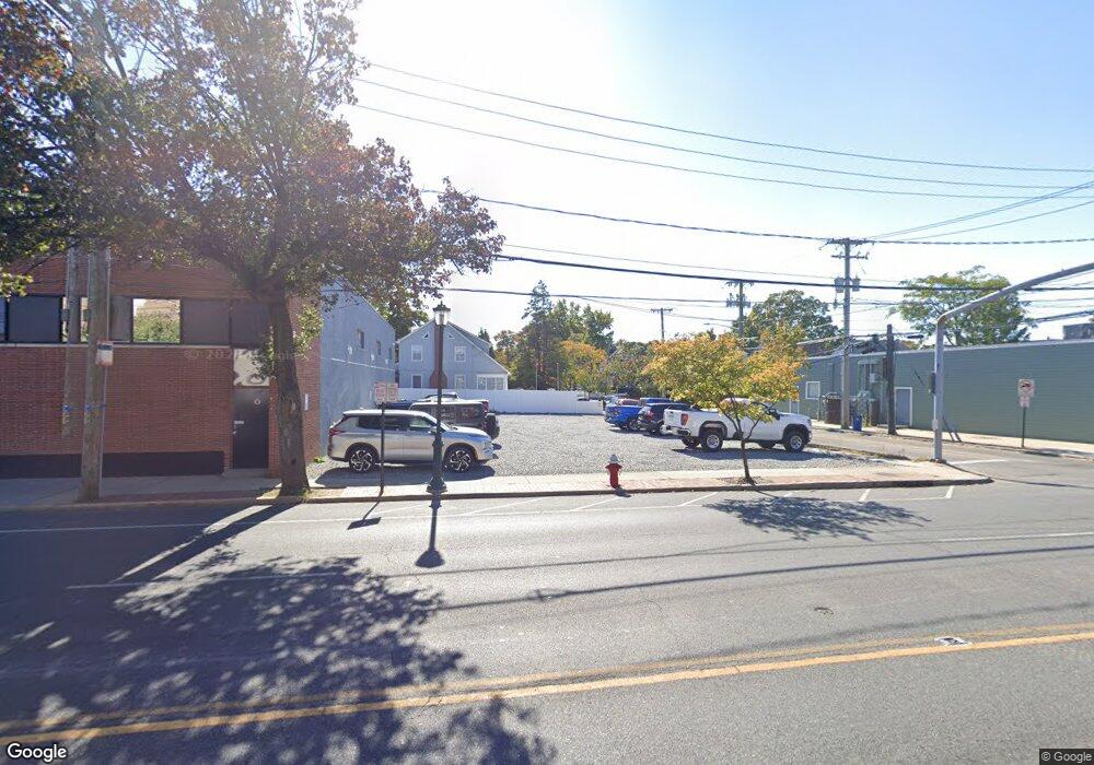
470 Merrick Rd Lynbrook, NY 11563
Estimated Value: $755,573 - $878,000
--
Bed
2
Baths
2,033
Sq Ft
$402/Sq Ft
Est. Value
About This Home
This home is located at 470 Merrick Rd, Lynbrook, NY 11563 and is currently estimated at $816,787, approximately $401 per square foot. 470 Merrick Rd is a home located in Nassau County with nearby schools including Lynbrook Senior High School, Our Lady Of Peace School, and Valley Stream Christian Academy.
Ownership History
Date
Name
Owned For
Owner Type
Purchase Details
Closed on
Jul 12, 2023
Sold by
Kretkowski Sherri and Degiulio Family Trust
Bought by
Michaels 470 Llc
Current Estimated Value
Purchase Details
Closed on
Mar 7, 2013
Sold by
Degjulio Catherine
Bought by
Kretkowski Sherri and Degiulio Family Trust
Purchase Details
Closed on
Apr 3, 1997
Create a Home Valuation Report for This Property
The Home Valuation Report is an in-depth analysis detailing your home's value as well as a comparison with similar homes in the area
Home Values in the Area
Average Home Value in this Area
Purchase History
| Date | Buyer | Sale Price | Title Company |
|---|---|---|---|
| Michaels 470 Llc | $850,000 | Advantage Title | |
| Michaels 470 Llc | $850,000 | Advantage Title | |
| Michaels 470 Llc | $850,000 | Advantage Title | |
| Kretkowski Sherri | -- | -- | |
| Kretkowski Sherri | -- | -- | |
| Kretkowski Sherri | -- | -- | |
| -- | -- | -- | |
| -- | -- | -- |
Source: Public Records
Tax History Compared to Growth
Tax History
| Year | Tax Paid | Tax Assessment Tax Assessment Total Assessment is a certain percentage of the fair market value that is determined by local assessors to be the total taxable value of land and additions on the property. | Land | Improvement |
|---|---|---|---|---|
| 2025 | $12,690 | $550 | $243 | $307 |
| 2024 | $1,130 | $519 | $227 | $292 |
| 2023 | $8,954 | $555 | $243 | $312 |
| 2022 | $8,954 | $555 | $243 | $312 |
| 2021 | $13,021 | $541 | $237 | $304 |
| 2020 | $8,909 | $739 | $511 | $228 |
| 2019 | $8,082 | $751 | $519 | $232 |
| 2018 | $7,408 | $751 | $0 | $0 |
| 2017 | $5,382 | $751 | $435 | $316 |
| 2016 | $6,468 | $897 | $519 | $378 |
| 2015 | $1,117 | $897 | $519 | $378 |
| 2014 | $1,117 | $897 | $519 | $378 |
| 2013 | $1,007 | $897 | $519 | $378 |
Source: Public Records
Map
Nearby Homes
- 504 Merrick Rd Unit 4J
- 504 Merrick Rd Unit 4E
- 504 Merrick Rd Unit 2k
- 57 Nieman Ave
- 2 Fowler Ave Unit 206
- 2 Fowler Ave Unit 228
- 59 Wood St
- 47 Wood St
- 232 Sherman St
- 20 Daley Place Unit 128
- 30 Daley Place Unit 247
- 20 Daley Place Unit 104
- 20 Daley Place Unit 225
- 30 Daley Place Unit 146
- 20 Daley Place Unit 127
- 29 Summit Ave
- 181 Walnut St
- 127 Smith St
- 11 Wood St
- 40 Daley Place Unit 124
- 7 John St
- 15 John St
- 1 Leach St
- 477 Merrick Rd
- 473 Merrick Rd
- 469 Merrick Rd
- 469 Merrick Rd Unit 469
- 469 Merrick Rd Unit 471
- 7 Leach St
- 17 John St
- 11 Leach St
- 17 Blossom Heath Ave
- 21 John St
- 1 Curtis Place
- 455 Merrick Rd
- 15 Leach St
- 23 John St
- 483 Merrick Rd
- 23 Blossom Heath Ave
- 0 Leach St Unit 2 ONE2715206