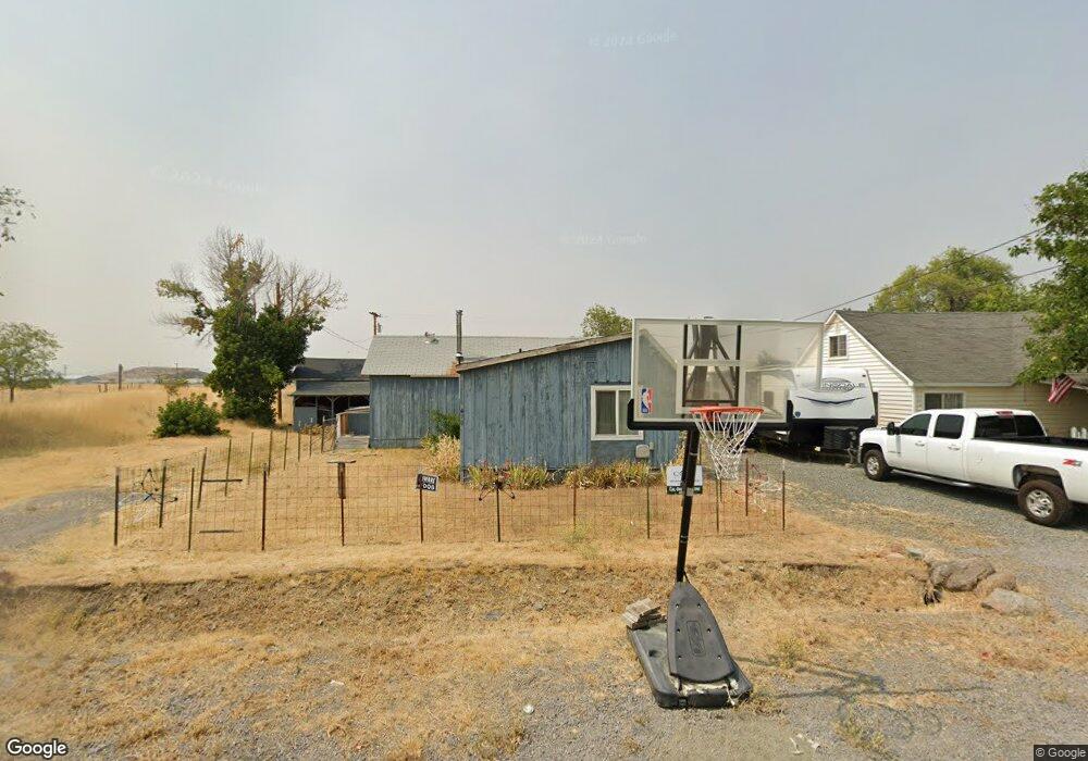
470 S 9th St Montague, CA 96064
Estimated Value: $103,000 - $172,315
--
Bed
--
Bath
--
Sq Ft
0.26
Acres
About This Home
This home is located at 470 S 9th St, Montague, CA 96064 and is currently estimated at $137,079. 470 S 9th St is a home located in Siskiyou County with nearby schools including Montague Elementary School and Yreka High School.
Ownership History
Date
Name
Owned For
Owner Type
Purchase Details
Closed on
Feb 6, 2009
Sold by
Kerby Dorris
Bought by
Gibson Robert and Aiello Dorna
Current Estimated Value
Home Financials for this Owner
Home Financials are based on the most recent Mortgage that was taken out on this home.
Original Mortgage
$40,000
Interest Rate
4.8%
Mortgage Type
Seller Take Back
Purchase Details
Closed on
Dec 6, 2005
Sold by
Kerby Dorris G
Bought by
Kerby Dorris
Purchase Details
Closed on
Jan 16, 2003
Sold by
Mohr Cheryl and Mohr Wood C
Bought by
Kerby Doris G
Create a Home Valuation Report for This Property
The Home Valuation Report is an in-depth analysis detailing your home's value as well as a comparison with similar homes in the area
Home Values in the Area
Average Home Value in this Area
Purchase History
| Date | Buyer | Sale Price | Title Company |
|---|---|---|---|
| Gibson Robert | $45,000 | Siskiyou County Title Co | |
| Kerby Dorris | -- | -- | |
| Kerby Doris G | -- | First American Title Co |
Source: Public Records
Mortgage History
| Date | Status | Borrower | Loan Amount |
|---|---|---|---|
| Previous Owner | Gibson Robert | $40,000 |
Source: Public Records
Tax History Compared to Growth
Tax History
| Year | Tax Paid | Tax Assessment Tax Assessment Total Assessment is a certain percentage of the fair market value that is determined by local assessors to be the total taxable value of land and additions on the property. | Land | Improvement |
|---|---|---|---|---|
| 2025 | $891 | $76,139 | $32,183 | $43,956 |
| 2023 | $891 | $73,184 | $30,934 | $42,250 |
| 2022 | $862 | $71,750 | $30,328 | $41,422 |
| 2021 | $849 | $70,344 | $29,734 | $40,610 |
| 2020 | $796 | $69,624 | $29,430 | $40,194 |
| 2019 | $808 | $68,259 | $28,853 | $39,406 |
| 2018 | $794 | $66,922 | $28,288 | $38,634 |
| 2017 | $780 | $65,611 | $27,734 | $37,877 |
| 2016 | $764 | $64,326 | $27,191 | $37,135 |
| 2015 | $754 | $63,361 | $26,783 | $36,578 |
| 2014 | $730 | $62,121 | $26,259 | $35,862 |
Source: Public Records
Map
Nearby Homes
- 1834 California 3
- lot 697 Woverine Unit 4
- 000 Fs Route 47n 83
- xx 5th Ave E
- 260 N 16th St
- 634 Ager Rd
- 3315 Montague Rd
- Lot 35 Watson Ct
- 2845 Watson Ct
- Lot 34 Watson Ct
- 0 Watson Ct Unit 20220752
- 1834 E State Hwy 3
- 704 S Phillipe Ln
- 0 High Rd
- 7441 Bowen Centers Rd
- 1815 Hill Cummins Ln
- 9200 Bowen Centers Rd
- 10 acres Riverview Dr
- Lot 20 Shamrock Acres
- 1251-1323 N Foothill Dr