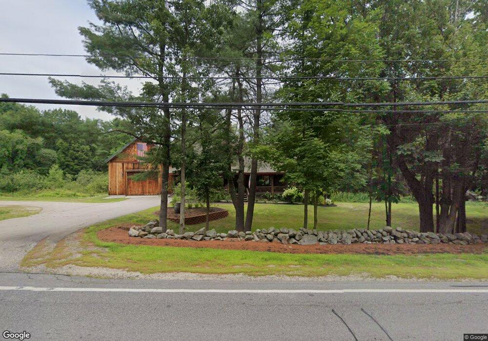
470 S Main St Wolfeboro, NH 03894
Estimated Value: $541,491 - $647,000
3
Beds
2
Baths
2,427
Sq Ft
$242/Sq Ft
Est. Value
About This Home
This home is located at 470 S Main St, Wolfeboro, NH 03894 and is currently estimated at $586,623, approximately $241 per square foot. 470 S Main St is a home located in Carroll County with nearby schools including Crescent Lake School, Carpenter Elementary School, and Kingswood Regional Middle School.
Ownership History
Date
Name
Owned For
Owner Type
Purchase Details
Closed on
Sep 25, 2020
Sold by
Skelley Douglas C and Skelley Sheila E
Bought by
Jozokos Ft
Current Estimated Value
Home Financials for this Owner
Home Financials are based on the most recent Mortgage that was taken out on this home.
Original Mortgage
$280,000
Outstanding Balance
$247,350
Interest Rate
2.9%
Mortgage Type
New Conventional
Estimated Equity
$339,273
Create a Home Valuation Report for This Property
The Home Valuation Report is an in-depth analysis detailing your home's value as well as a comparison with similar homes in the area
Home Values in the Area
Average Home Value in this Area
Purchase History
| Date | Buyer | Sale Price | Title Company |
|---|---|---|---|
| Jozokos Ft | $350,000 | None Available |
Source: Public Records
Mortgage History
| Date | Status | Borrower | Loan Amount |
|---|---|---|---|
| Open | Jozokos Ft | $280,000 |
Source: Public Records
Tax History Compared to Growth
Tax History
| Year | Tax Paid | Tax Assessment Tax Assessment Total Assessment is a certain percentage of the fair market value that is determined by local assessors to be the total taxable value of land and additions on the property. | Land | Improvement |
|---|---|---|---|---|
| 2024 | $4,966 | $312,300 | $80,100 | $232,200 |
| 2023 | $4,595 | $312,800 | $80,100 | $232,700 |
| 2022 | $4,135 | $312,800 | $80,100 | $232,700 |
| 2021 | $4,276 | $312,800 | $80,100 | $232,700 |
| 2020 | $4,070 | $312,800 | $80,100 | $232,700 |
| 2019 | $3,992 | $252,000 | $70,200 | $181,800 |
| 2018 | $3,982 | $252,000 | $70,200 | $181,800 |
| 2017 | $3,766 | $251,400 | $70,200 | $181,200 |
| 2016 | $3,678 | $251,400 | $70,200 | $181,200 |
| 2015 | $3,507 | $251,400 | $70,200 | $181,200 |
| 2014 | $3,321 | $255,300 | $55,300 | $200,000 |
| 2013 | $3,596 | $280,300 | $55,300 | $225,000 |
Source: Public Records
Map
Nearby Homes
- 87 Timberlane P
- 337 S Main St Unit Interval week 4 Janu
- 5 Delings Cove Rd
- 21 Goodrich Rd
- 45 Winnipesaukee Dr
- 79 S Main St
- 106 Middleton Rd
- 87 Middleton Rd
- 116 Middleton Rd
- 163 Clark Rd
- 18-8 Winnipesaukee Dr
- 267-23 Winnipesaukee Dr
- 00 Winnipesaukee Dr Unit 10
- 39 Winnipesaukee Dr
- 79 River St
- 108 Whitten Neck Rd
- 61 Lehner St
- 68 Center St
- 108 Center St
- 68 Railroad Ave Unit 3
- 480 S Main St
- 39 Pleasant Valley Rd
- 3 Timber Ln
- 49 Pleasant Valley Rd
- 47 Pleasant Valley Rd
- 459 S Main St
- 1 Pleasant Valley Rd
- 1 Pleasant Valley Rd
- 460 S Main St
- 11 Timber Ln
- 32 Pleasant Valley Rd
- 449 S Main St
- 20 Pleasant Valley Rd
- 19 Timber Ln
- 18 Timber Ln
- 16 Pleasant Valley Rd
- 3 Brewster Heights
- 56 Pleasant Valley Rd
- 191 and 192 Cow Island
- 3 Pleasant Valley Rd