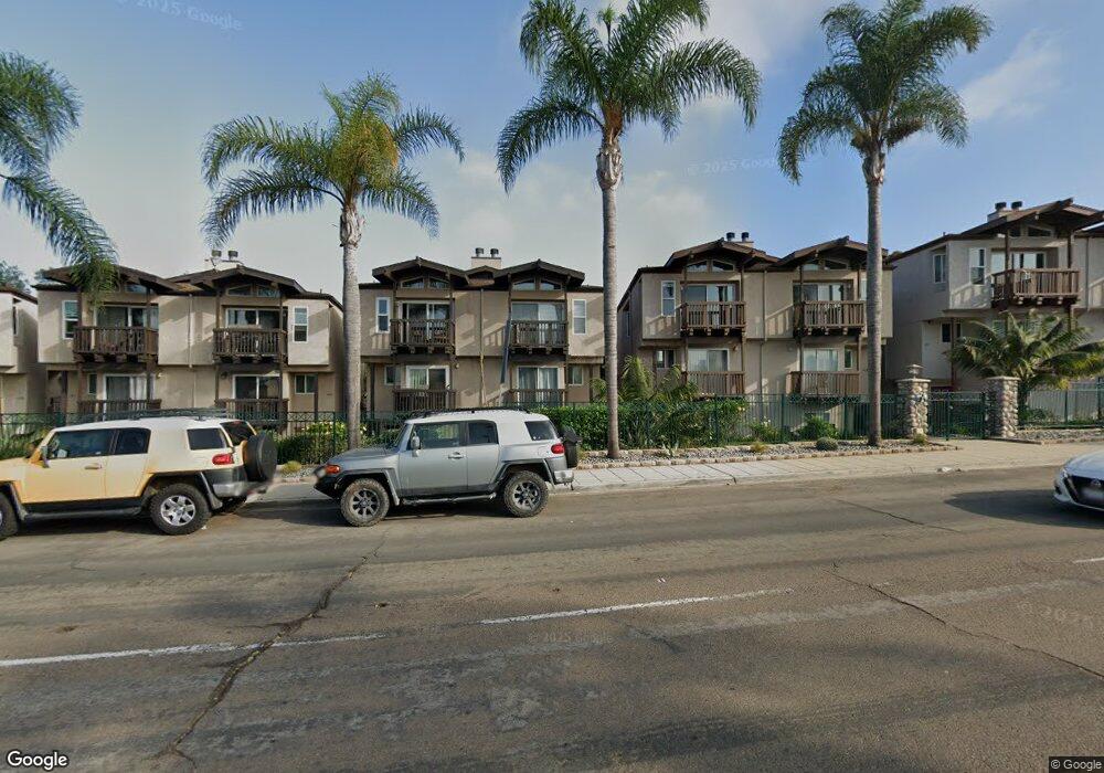
470 W Laurel St San Diego, CA 92101
Bankers Hill NeighborhoodEstimated Value: $895,000 - $1,006,000
1
Bed
1
Bath
200
Sq Ft
$4,777/Sq Ft
Est. Value
About This Home
This home is located at 470 W Laurel St, San Diego, CA 92101 and is currently estimated at $955,441, approximately $4,777 per square foot. 470 W Laurel St is a home located in San Diego County with nearby schools including Florence Elementary School, Roosevelt International Middle School, and Museum School.
Ownership History
Date
Name
Owned For
Owner Type
Purchase Details
Closed on
Jul 17, 2011
Sold by
Naji Dahlia A
Bought by
Safadi Amer
Current Estimated Value
Purchase Details
Closed on
Jul 13, 2011
Sold by
Kapa Donald J and Armstrong Monica B
Bought by
Safadi Amer
Purchase Details
Closed on
Jan 8, 2007
Sold by
Kapa Donald J and Armstrong Monica B
Bought by
Kapa Donald J and Armstrong Monica B
Purchase Details
Closed on
Apr 1, 1998
Sold by
Brant & Laurel Associates Lp
Bought by
Kapa Donald J and Armstrong Monica B
Home Financials for this Owner
Home Financials are based on the most recent Mortgage that was taken out on this home.
Original Mortgage
$219,000
Interest Rate
7.15%
Create a Home Valuation Report for This Property
The Home Valuation Report is an in-depth analysis detailing your home's value as well as a comparison with similar homes in the area
Home Values in the Area
Average Home Value in this Area
Purchase History
| Date | Buyer | Sale Price | Title Company |
|---|---|---|---|
| Safadi Amer | -- | First American Title Ins Co | |
| Safadi Amer | $400,000 | First American Title Insuran | |
| Kapa Donald J | -- | None Available | |
| Kapa Donald J | $260,000 | Chicago Title Co |
Source: Public Records
Mortgage History
| Date | Status | Borrower | Loan Amount |
|---|---|---|---|
| Previous Owner | Kapa Donald J | $219,000 |
Source: Public Records
Tax History Compared to Growth
Tax History
| Year | Tax Paid | Tax Assessment Tax Assessment Total Assessment is a certain percentage of the fair market value that is determined by local assessors to be the total taxable value of land and additions on the property. | Land | Improvement |
|---|---|---|---|---|
| 2025 | $6,081 | $502,405 | $188,401 | $314,004 |
| 2024 | $6,081 | $492,555 | $184,707 | $307,848 |
| 2023 | $5,947 | $482,898 | $181,086 | $301,812 |
| 2022 | $5,789 | $473,431 | $177,536 | $295,895 |
| 2021 | $5,750 | $464,149 | $174,055 | $290,094 |
| 2020 | $5,680 | $459,391 | $172,271 | $287,120 |
| 2019 | $5,579 | $450,385 | $168,894 | $281,491 |
| 2018 | $5,217 | $441,555 | $165,583 | $275,972 |
| 2017 | $5,093 | $432,898 | $162,337 | $270,561 |
| 2016 | $5,012 | $424,410 | $159,154 | $265,256 |
| 2015 | $4,938 | $418,036 | $156,764 | $261,272 |
| 2014 | $4,861 | $409,849 | $153,694 | $256,155 |
Source: Public Records
Map
Nearby Homes
- 450 W Laurel St
- 2453 Curlew St
- 2445 Brant St Unit 612
- 2445 Brant St Unit 613
- 2445 Brant St Unit 309
- 2445 Brant St Unit 308
- 2410 Albatross St Unit 9
- 230 W Laurel St Unit 601
- 230 W Laurel St Unit 506
- 2371 Brant St
- 405 W Nutmeg St
- 2414 Front St Unit 31
- 2414 Front St Unit 11C
- 2630 Front St
- 2730 Brant St
- 0 Reynard Way Unit PTP2505859
- 2266 Albatross St Unit B
- 2311 State St
- 2621 1st Ave
- 2206 Albatross St
- 464 W Laurel St
- 474 W Laurel St
- 460 W Laurel St
- 480 W Laurel St
- 454 W Laurel St
- 484 W Laurel St
- 490 W Laurel St
- 2525 Horton Ave
- 2515 Horton Ave
- 2529 Horton Ave
- 440 W Laurel St
- 494 W Laurel St
- 2519 Horton Ave
- 2505 Horton Ave
- 2509 Horton Ave
- 2539 Horton Ave
- 2545 Horton Ave
- 2465 Curlew St
- 4191 Horton Plaza
- 2549 Horton Ave