Estimated Value: $192,000 - $370,794
--
Bed
2
Baths
1,595
Sq Ft
$167/Sq Ft
Est. Value
About This Home
This home is located at 470 Watson Rd, Jesup, GA 31546 and is currently estimated at $265,949, approximately $166 per square foot. 470 Watson Rd is a home located in Wayne County with nearby schools including Jesup Elementary School, Arthur Williams Middle School, and Wayne County High School.
Ownership History
Date
Name
Owned For
Owner Type
Purchase Details
Closed on
Mar 26, 2018
Sold by
Watson Mark A
Bought by
Watson Mark A and Watson Rebecca R
Current Estimated Value
Purchase Details
Closed on
Mar 15, 2018
Sold by
Watson Earl C
Bought by
Watson Mark A
Purchase Details
Closed on
Jun 26, 2014
Sold by
Watson Earl C
Bought by
Watson Earl C and Watson Michelda M
Purchase Details
Closed on
Dec 1, 1992
Bought by
Watson Earl C
Purchase Details
Closed on
Jun 1, 1976
Bought by
Watson Earl C
Create a Home Valuation Report for This Property
The Home Valuation Report is an in-depth analysis detailing your home's value as well as a comparison with similar homes in the area
Home Values in the Area
Average Home Value in this Area
Purchase History
| Date | Buyer | Sale Price | Title Company |
|---|---|---|---|
| Watson Mark A | -- | -- | |
| Watson Mark A | -- | -- | |
| Watson Earl C | -- | -- | |
| Watson Earl C | -- | -- | |
| Watson Earl C | -- | -- |
Source: Public Records
Tax History Compared to Growth
Tax History
| Year | Tax Paid | Tax Assessment Tax Assessment Total Assessment is a certain percentage of the fair market value that is determined by local assessors to be the total taxable value of land and additions on the property. | Land | Improvement |
|---|---|---|---|---|
| 2024 | $749 | $108,999 | $62,179 | $46,820 |
| 2023 | $498 | $103,302 | $62,179 | $41,123 |
| 2022 | $697 | $95,325 | $62,179 | $33,146 |
| 2021 | $667 | $89,150 | $62,179 | $26,971 |
| 2020 | $697 | $88,486 | $59,677 | $28,809 |
| 2019 | $731 | $88,486 | $59,677 | $28,809 |
| 2018 | $727 | $91,203 | $63,439 | $27,764 |
| 2017 | $494 | $90,582 | $62,818 | $27,764 |
| 2016 | $451 | $89,100 | $61,336 | $27,764 |
| 2014 | $459 | $91,825 | $62,481 | $29,344 |
| 2013 | -- | $29,343 | $0 | $29,343 |
Source: Public Records
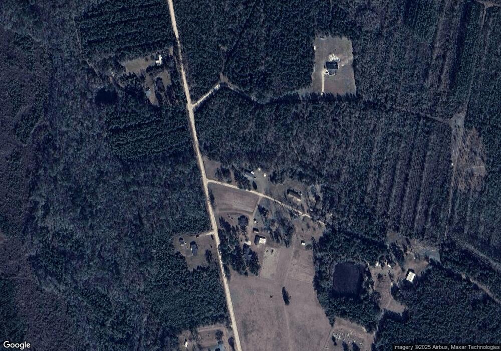
Map
Nearby Homes
- 0N E Rd
- 176 Covey Way Rd
- 1554 Flowers Break Rd
- 0 Us Highway 301
- 7256 Manningtown Rd
- 5100 Flowers Branch Rd
- 0 Rogers Break Unit 1656131
- 301 Broadhurst Rd
- 26 Odessa Rd
- 4545 S US Hwy 341
- 49 Pine Forest Dr
- 12 Par Dr
- 2903 S Us Hwy 301
- 694 Overstreet Rd
- 22 Birdie Dr
- 13 N Eagle Dr
- 353 Chase Dr
- 156 Hannah Dr
- 0 Bower Dr
- 1816 S Palm St
- 410 Watson Rd
- 4534 Little Creek Rd
- 415 Watson Rd
- 4537 Little Creek Rd
- 4695 Little Creek Rd
- 4740 Little Creek Rd
- 4878 Little Creek Rd
- 711 Nursery Rd Unit TRACT 5
- 711 Nursery Rd Unit TRACT 2
- 711 Nursery Rd Unit TRACT 3
- 711 Nursery Rd Unit TRACT 1
- 711 Nursery Rd
- 1036 Nursery Rd
- 5086 Little Creek Rd
- 1216 Nursery Rd
- 3 Acres Nursery Rd
- 8 Acres Nursery Rd
- 1004 Nursery Rd
- 707 Nursery Rd
- 82 Nursery Rd