Estimated Value: $245,000 - $400,000
Studio
3
Baths
3,903
Sq Ft
$89/Sq Ft
Est. Value
About This Home
This home is located at 470 Wilson Loop, Ward, AR 72176 and is currently estimated at $345,698, approximately $88 per square foot. 470 Wilson Loop is a home located in Lonoke County with nearby schools including Ward Central Elementary School, Cabot Middle School North, and Cabot Junior High North.
Ownership History
Date
Name
Owned For
Owner Type
Purchase Details
Closed on
Aug 1, 2024
Sold by
Brill Revocable Trust Brill and Herbert And Irene Brill Revocable Trust
Bought by
Brill Michael David
Current Estimated Value
Purchase Details
Closed on
Sep 9, 2009
Sold by
Kroetsch James W and Kroetsch Mary E
Bought by
Brill Herbert W and Brill Florence Irene
Purchase Details
Closed on
Sep 14, 2006
Sold by
Brill Herbert W and Brill Florence I
Bought by
Brill Herbert W and Brill Irene
Purchase Details
Closed on
Sep 12, 2006
Sold by
Brill Herbert W and Brill Florence I
Bought by
Brill Herbert W and Brill Irene
Create a Home Valuation Report for This Property
The Home Valuation Report is an in-depth analysis detailing your home's value as well as a comparison with similar homes in the area
Home Values in the Area
Average Home Value in this Area
Purchase History
| Date | Buyer | Sale Price | Title Company |
|---|---|---|---|
| Brill Michael David | -- | None Listed On Document | |
| Brill Michael David | -- | None Listed On Document | |
| Brill Herbert W | -- | -- | |
| Brill Herbert W | -- | -- | |
| Brill Herbert W | -- | -- |
Source: Public Records
Tax History
| Year | Tax Paid | Tax Assessment Tax Assessment Total Assessment is a certain percentage of the fair market value that is determined by local assessors to be the total taxable value of land and additions on the property. | Land | Improvement |
|---|---|---|---|---|
| 2025 | $2,374 | $46,460 | $2,180 | $44,280 |
| 2024 | $2,374 | $46,600 | $2,320 | $44,280 |
| 2023 | $2,374 | $46,600 | $2,320 | $44,280 |
| 2022 | $2,374 | $46,600 | $2,320 | $44,280 |
| 2021 | $2,374 | $46,600 | $2,320 | $44,280 |
| 2020 | $2,203 | $43,260 | $2,400 | $40,860 |
| 2019 | $2,203 | $43,260 | $2,400 | $40,860 |
| 2018 | $2,203 | $43,260 | $2,400 | $40,860 |
| 2017 | $2,004 | $43,260 | $2,400 | $40,860 |
| 2016 | $1 | $43,260 | $2,400 | $40,860 |
| 2015 | $1 | $38,210 | $2,370 | $35,840 |
| 2014 | $1 | $38,210 | $2,370 | $35,840 |
Source: Public Records
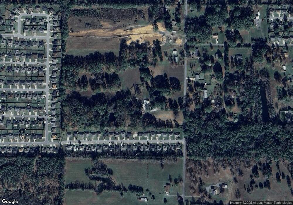
Map
Nearby Homes
- 51 Center St
- 21 Center St
- 35 Green Apple
- 22 Willard St
- 00 Markham St
- 30 Willard St
- 910 Markham St
- 35 Wilson Loop
- 761 Peyton St
- 11 Erwin Dr
- 13 Lilly Ann Cir
- 37 Lilly Ann Cir
- 24 Gold Meadow Loop
- 19 Opal St
- 561 Brewer St
- 105 Walker St
- 351 Moonlight Graham Rd
- 341 Moonlight Graham Rd
- 361 Moonlight Graham Rd
- 371 Moonlight Graham Rd
- 20 Weatherwood
- 22 Weatherwood
- 18 Weatherwood
- 24 Weatherwood
- 26 Weatherwood
- 0 Weatherwood Ln Unit 16002444
- 0 Weatherwood Ln Unit 20035199
- 28 Weatherwood
- 14 Weatherwood
- 12 Weatherwood
- 30 Weatherwood
- 10 Weatherwood
- 17 Weatherwood
- 32 Weatherwood
- 15 Weatherwood
- 21 Weatherwood
- 23 Weatherwood
- 19 Weatherwood
- 25 Weatherwood
- 27 Weatherwood
Your Personal Tour Guide
Ask me questions while you tour the home.