4700 Bloomfield Rd Petaluma, CA 94952
Estimated Value: $1,406,000 - $1,666,042
4
Beds
2
Baths
3,106
Sq Ft
$508/Sq Ft
Est. Value
About This Home
This home is located at 4700 Bloomfield Rd, Petaluma, CA 94952 and is currently estimated at $1,576,761, approximately $507 per square foot. 4700 Bloomfield Rd is a home located in Sonoma County with nearby schools including Apple Blossom School, Analy High School, and Twin Hills Charter Middle School.
Ownership History
Date
Name
Owned For
Owner Type
Purchase Details
Closed on
Sep 9, 2022
Sold by
Felton Russell J and Felton Mackalie S
Bought by
Russell And Mackalie Felton Living Trust
Current Estimated Value
Purchase Details
Closed on
Mar 2, 2004
Sold by
Fisher Pauline S
Bought by
Felton Russell J and Felton Mackalie S
Home Financials for this Owner
Home Financials are based on the most recent Mortgage that was taken out on this home.
Original Mortgage
$345,000
Interest Rate
4.08%
Mortgage Type
Unknown
Create a Home Valuation Report for This Property
The Home Valuation Report is an in-depth analysis detailing your home's value as well as a comparison with similar homes in the area
Purchase History
| Date | Buyer | Sale Price | Title Company |
|---|---|---|---|
| Russell And Mackalie Felton Living Trust | -- | -- | |
| Felton Russell J | $835,000 | First American Title Co |
Source: Public Records
Mortgage History
| Date | Status | Borrower | Loan Amount |
|---|---|---|---|
| Previous Owner | Felton Russell J | $345,000 |
Source: Public Records
Tax History
| Year | Tax Paid | Tax Assessment Tax Assessment Total Assessment is a certain percentage of the fair market value that is determined by local assessors to be the total taxable value of land and additions on the property. | Land | Improvement |
|---|---|---|---|---|
| 2025 | $13,578 | $1,187,175 | $867,283 | $319,892 |
| 2024 | $13,578 | $1,163,898 | $850,278 | $313,620 |
| 2023 | $13,578 | $1,141,077 | $833,606 | $307,471 |
| 2022 | $12,887 | $1,118,704 | $817,261 | $301,443 |
| 2021 | $12,614 | $1,096,770 | $801,237 | $295,533 |
| 2020 | $12,634 | $1,085,525 | $793,022 | $292,503 |
| 2019 | $12,194 | $1,064,241 | $777,473 | $286,768 |
| 2018 | $11,991 | $1,043,375 | $762,229 | $281,146 |
| 2017 | $0 | $1,022,918 | $747,284 | $275,634 |
| 2016 | $11,272 | $1,002,862 | $732,632 | $270,230 |
| 2015 | -- | $987,799 | $721,628 | $266,171 |
| 2014 | $10,668 | $968,451 | $707,493 | $260,958 |
Source: Public Records
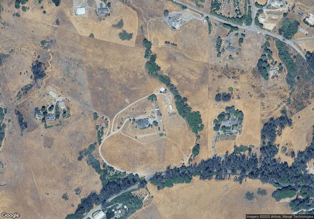
Map
Nearby Homes
- 3370 Pharoahs Ln
- 3545 Bloomfield Rd
- 2485 Sanders Rd
- 10966 Barnett Valley Rd
- 3590 Burnside Rd
- 6363 Pond Hollow Rd
- 8061 Elphick Rd
- 1430 Santa Maria Way
- 447 Sparkes Rd
- 1417 Deer Ln
- 5563 Mcfarlane Rd
- 1120 W Sexton Rd
- 870 Gold Ridge Rd
- 5070 Blank Rd
- 41 Sparkes Rd Unit 8
- 459 Gold Ridge Rd
- 789 Pleasant Hill Rd
- 1171 Gravenstein Hwy S
- 3790 Gravenstein Hwy S
- 1853 Cooper Rd
- 6370 Bloomfield Rd
- 4707 Bloomfield Rd
- 6320 Burnside Rd
- 6100 Burnside Rd
- 6500 Burnside Rd
- 6255 Burnside Rd
- 6000 Burnside Rd
- 6323 Burnside Rd
- 6103 Burnside Rd
- 4500 Bloomfield Rd
- 6425 Lovmark Way
- 4880 Bloomfield Rd
- 4400 Bloomfield Rd
- 6107 Burnside Rd
- 3600 Pharoahs Ln
- 6545 Burnside Rd
- 6495 Burnside Rd
- 107 Lovmark Way
- 3377 Pharoahs Ln
- 6605 Burnside Rd
Your Personal Tour Guide
Ask me questions while you tour the home.