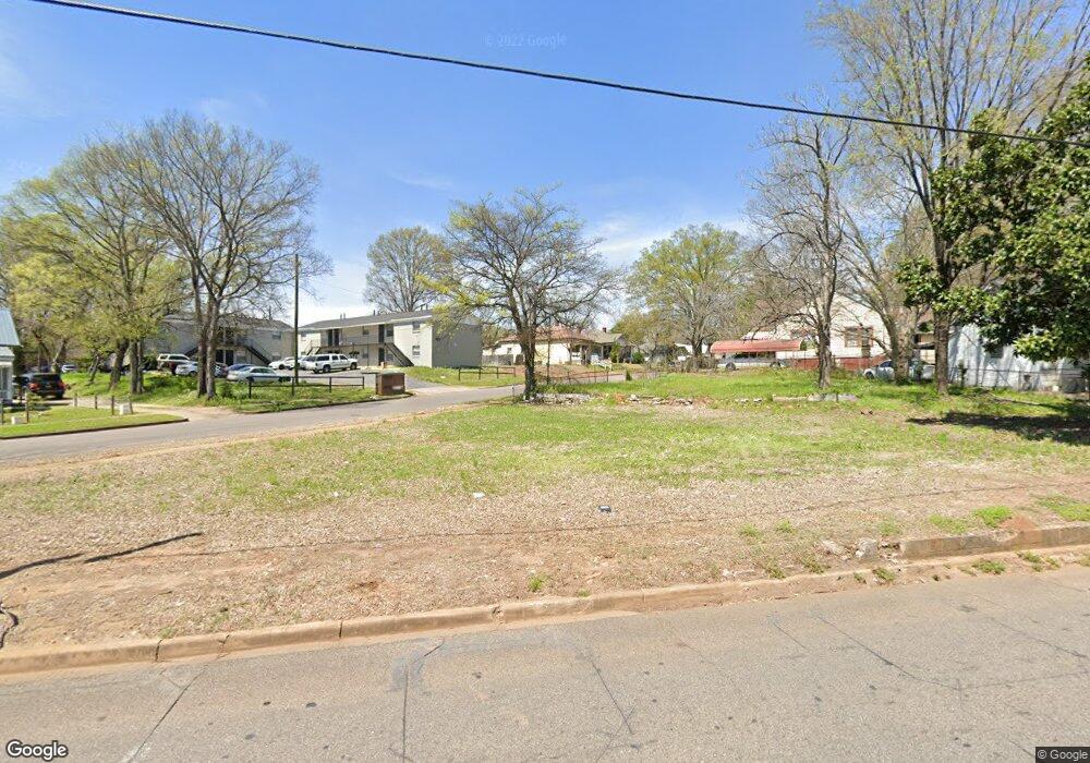
4700 Messer Airport Hwy Birmingham, AL 35212
Kingston NeighborhoodEstimated Value: $16,699 - $504,000
--
Bed
--
Bath
--
Sq Ft
0.25
Acres
About This Home
This home is located at 4700 Messer Airport Hwy, Birmingham, AL 35212 and is currently estimated at $260,350. 4700 Messer Airport Hwy is a home located in Jefferson County with nearby schools including C. W. Hayes K-8 School, Woodlawn High School-Magnet, and Cornerstone Schools of Alabama.
Ownership History
Date
Name
Owned For
Owner Type
Purchase Details
Closed on
Jan 28, 2009
Sold by
Miami Pita Inc
Bought by
El Alam Jihad Georges
Current Estimated Value
Purchase Details
Closed on
Jul 18, 2003
Sold by
Maddox Edward Y
Bought by
Smith Sidney B and Smith Barbara M
Home Financials for this Owner
Home Financials are based on the most recent Mortgage that was taken out on this home.
Original Mortgage
$42,500
Interest Rate
8.45%
Mortgage Type
Unknown
Create a Home Valuation Report for This Property
The Home Valuation Report is an in-depth analysis detailing your home's value as well as a comparison with similar homes in the area
Home Values in the Area
Average Home Value in this Area
Purchase History
| Date | Buyer | Sale Price | Title Company |
|---|---|---|---|
| El Alam Jihad Georges | $9,200 | Resource Title Of Tennessee | |
| Smith Sidney B | $30,000 | -- |
Source: Public Records
Mortgage History
| Date | Status | Borrower | Loan Amount |
|---|---|---|---|
| Previous Owner | Smith Sidney B | $42,500 |
Source: Public Records
Tax History Compared to Growth
Tax History
| Year | Tax Paid | Tax Assessment Tax Assessment Total Assessment is a certain percentage of the fair market value that is determined by local assessors to be the total taxable value of land and additions on the property. | Land | Improvement |
|---|---|---|---|---|
| 2024 | -- | $4,340 | $4,340 | -- |
| 2022 | $0 | $4,340 | $4,340 | $0 |
| 2021 | $0 | $4,340 | $4,340 | $0 |
| 2020 | $0 | $4,340 | $4,340 | $0 |
| 2019 | $0 | $4,340 | $0 | $0 |
| 2018 | $0 | $4,340 | $0 | $0 |
| 2017 | $0 | $3,100 | $0 | $0 |
| 2016 | $0 | $3,100 | $0 | $0 |
| 2015 | -- | $3,100 | $0 | $0 |
| 2014 | $393 | $3,100 | $0 | $0 |
| 2013 | $393 | $3,100 | $0 | $0 |
Source: Public Records
Map
Nearby Homes
- 801 48th St N
- 749 45th Place N
- 808 45th Place N
- 924 47th Place N
- 833 49th St N
- 821 45th St N
- 837 49th St N
- 934 47th St N
- 821 50th St N
- 942 47th Place N
- 833 50th St N
- 4636 9th Terrace N
- 5112 2nd Ave N
- 5105 Georgia Rd
- 1023 46th St N
- 828 42nd Place N
- 4630 11th Ave N
- 4248 11th Ave N
- 4716 12th Ave N
- 4725 13th Ave N
- 4712 Messer Airport Hwy
- 717 47th St N
- 537 47th St N
- 4714 Messer Airport Hwy
- 702 47th St N
- 721 47th St N
- 700 47th St N
- 712 47th St N Unit H
- 712 47th St N Unit F
- 712 47th St N Unit C
- 712 47th St N Unit E
- 712 47th St N Unit A
- 712 47th St N Unit D
- 718 47th St N
- 257 47th St N
- 4656 Messer Airport Hwy
- 4718 Messer Airport Hwy
- 236 47th Place N
- 720 47th St N
- 238 47th Place N