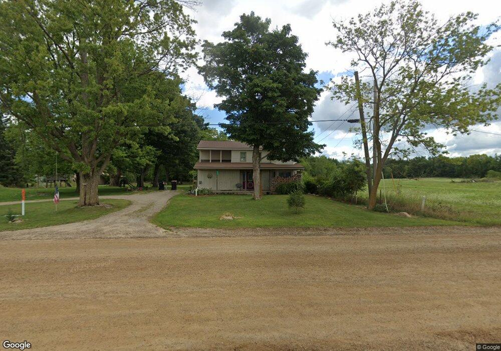
4701 10th St Wayland, MI 49348
Estimated Value: $303,815 - $469,000
--
Bed
2
Baths
1,889
Sq Ft
$198/Sq Ft
Est. Value
About This Home
This home is located at 4701 10th St, Wayland, MI 49348 and is currently estimated at $373,605, approximately $197 per square foot. 4701 10th St is a home located in Allegan County with nearby schools including Wayland High School, Byron Center Charter School, and Moline Christian School.
Ownership History
Date
Name
Owned For
Owner Type
Purchase Details
Closed on
Sep 9, 2005
Sold by
Tubergen Randy
Bought by
Tubergen Randy and Oetman Steve L
Current Estimated Value
Purchase Details
Closed on
Sep 7, 2005
Sold by
Favreau Daryl J and Favreau Julie A
Bought by
Tubergen Randy
Purchase Details
Closed on
Mar 5, 2004
Sold by
Favreau Daryl Joe and Favreau Julie Ann
Bought by
Favreau Julie Ann
Home Financials for this Owner
Home Financials are based on the most recent Mortgage that was taken out on this home.
Original Mortgage
$68,000
Interest Rate
5.77%
Mortgage Type
New Conventional
Create a Home Valuation Report for This Property
The Home Valuation Report is an in-depth analysis detailing your home's value as well as a comparison with similar homes in the area
Home Values in the Area
Average Home Value in this Area
Purchase History
| Date | Buyer | Sale Price | Title Company |
|---|---|---|---|
| Tubergen Randy | -- | -- | |
| Tubergen Randy | $22,500 | -- | |
| Favreau Julie Ann | -- | -- |
Source: Public Records
Mortgage History
| Date | Status | Borrower | Loan Amount |
|---|---|---|---|
| Previous Owner | Favreau Julie Ann | $68,000 |
Source: Public Records
Tax History Compared to Growth
Tax History
| Year | Tax Paid | Tax Assessment Tax Assessment Total Assessment is a certain percentage of the fair market value that is determined by local assessors to be the total taxable value of land and additions on the property. | Land | Improvement |
|---|---|---|---|---|
| 2025 | $2,021 | $135,100 | $26,200 | $108,900 |
| 2024 | $1,839 | $130,700 | $23,100 | $107,600 |
| 2023 | $1,839 | $115,500 | $23,100 | $92,400 |
| 2022 | $1,839 | $103,200 | $23,100 | $80,100 |
| 2021 | $1,717 | $96,800 | $23,500 | $73,300 |
| 2020 | $1,695 | $92,300 | $23,500 | $68,800 |
| 2019 | $1,673 | $82,800 | $21,800 | $61,000 |
| 2018 | $1,591 | $79,100 | $21,800 | $57,300 |
| 2017 | $0 | $73,000 | $21,800 | $51,200 |
| 2016 | $0 | $60,400 | $21,800 | $38,600 |
| 2015 | -- | $60,400 | $21,800 | $38,600 |
| 2014 | -- | $55,100 | $20,300 | $34,800 |
| 2013 | $1,293 | $52,900 | $20,300 | $32,600 |
Source: Public Records
Map
Nearby Homes
- 4653 Leighton Lakes Dr Unit 9
- 1054 Haven Ct SE
- 1110 Haven Ct SE
- 82 100th St SW
- 82 100th St SW
- 92 100th St SW
- 112 100th St SW
- 4335 Tavistock Dr
- 4351 Hickory View Ct
- 4316 Sussex Place
- 9440 Westview Dr SE
- 4274 Butternut Dr
- Unit 111 Highpoint Dr
- 4273 Highpoint Dr Unit 112
- 9669 Division Ave S
- Lot 142 Butternut Dr
- Lot 141 Butternut Dr
- 4249 Butternut Dr
- 4245 Butternut Dr
- 4243 Butternut Dr