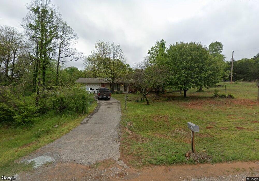
4701 91st Ave NE Norman, OK 73026
Franklin-Denver NeighborhoodEstimated Value: $195,875 - $236,000
3
Beds
2
Baths
1,300
Sq Ft
$164/Sq Ft
Est. Value
About This Home
This home is located at 4701 91st Ave NE, Norman, OK 73026 and is currently estimated at $212,719, approximately $163 per square foot. 4701 91st Ave NE is a home located in Cleveland County with nearby schools including Lakeview Elementary School, Longfellow Middle School, and Norman North High School.
Ownership History
Date
Name
Owned For
Owner Type
Purchase Details
Closed on
Dec 15, 2009
Sold by
Fordyce Ann M
Bought by
Strudgeon Scott and Strudgeon Virginia R
Current Estimated Value
Home Financials for this Owner
Home Financials are based on the most recent Mortgage that was taken out on this home.
Original Mortgage
$98,188
Outstanding Balance
$64,044
Interest Rate
4.9%
Mortgage Type
FHA
Estimated Equity
$148,675
Purchase Details
Closed on
Nov 27, 2001
Sold by
Battles Alan K
Bought by
Fordyce Ann M
Create a Home Valuation Report for This Property
The Home Valuation Report is an in-depth analysis detailing your home's value as well as a comparison with similar homes in the area
Home Values in the Area
Average Home Value in this Area
Purchase History
| Date | Buyer | Sale Price | Title Company |
|---|---|---|---|
| Strudgeon Scott | $100,000 | None Available | |
| Fordyce Ann M | -- | None Available |
Source: Public Records
Mortgage History
| Date | Status | Borrower | Loan Amount |
|---|---|---|---|
| Open | Strudgeon Scott | $98,188 |
Source: Public Records
Tax History Compared to Growth
Tax History
| Year | Tax Paid | Tax Assessment Tax Assessment Total Assessment is a certain percentage of the fair market value that is determined by local assessors to be the total taxable value of land and additions on the property. | Land | Improvement |
|---|---|---|---|---|
| 2024 | $1,027 | $9,574 | $2,063 | $7,511 |
| 2023 | $996 | $9,295 | $1,434 | $7,861 |
| 2022 | $955 | $9,295 | $1,434 | $7,861 |
| 2021 | $1,007 | $9,295 | $1,434 | $7,861 |
| 2020 | $985 | $9,295 | $1,434 | $7,861 |
| 2019 | $1,002 | $9,295 | $1,434 | $7,861 |
| 2018 | $971 | $9,295 | $1,434 | $7,861 |
| 2017 | $982 | $9,295 | $0 | $0 |
| 2016 | $999 | $9,295 | $1,434 | $7,861 |
| 2015 | $969 | $9,295 | $1,434 | $7,861 |
| 2014 | $978 | $9,295 | $1,434 | $7,861 |
Source: Public Records
Map
Nearby Homes
- 4800 84th Ave NE
- 0 108th Ave NE
- 4330 108th Ave NE
- 7801 E Indian Hills Rd
- 5251 108th Ave NE
- 3400 108th Ave NE
- 10601 E Indian Hills Rd
- 10915 E Tecumseh Rd
- 920 72nd Ave NE
- 4201 NE 66th Ave
- 8300 Bethel Rd
- 19410 Hidden Pines Cir
- 19330 Hidden Pines Dr
- 29176 Trigger Dr
- 2990 72nd Ave NE
- 7770 E Rock Creek Rd
- 15200 E Franklin Rd
- 16101 A St
- 7901 120th Ave NE
- 4921 120th Ave NE
- 9109 Whitebrook St
- 9102 E Franklin Rd
- 9004 Whitebrook St
- 9110 Whitebrook St
- 9004 E Franklin Rd
- 9101 Brownfield St
- 8908 Whitebrook St
- 9205 Whitebrook St
- 8907 Whitebrook St
- 9206 Whitebrook St
- 8907 Brownfield St
- 9102 Brownfield St
- 9205 Brownfield St
- 9110 Brownfield St
- 8811 Brownfield St
- 8810 Whitebrook St
- 9303 Brownfield St
- 9304 E Franklin Rd
- 8908 Brownfield St
- 9206 Brownfield St