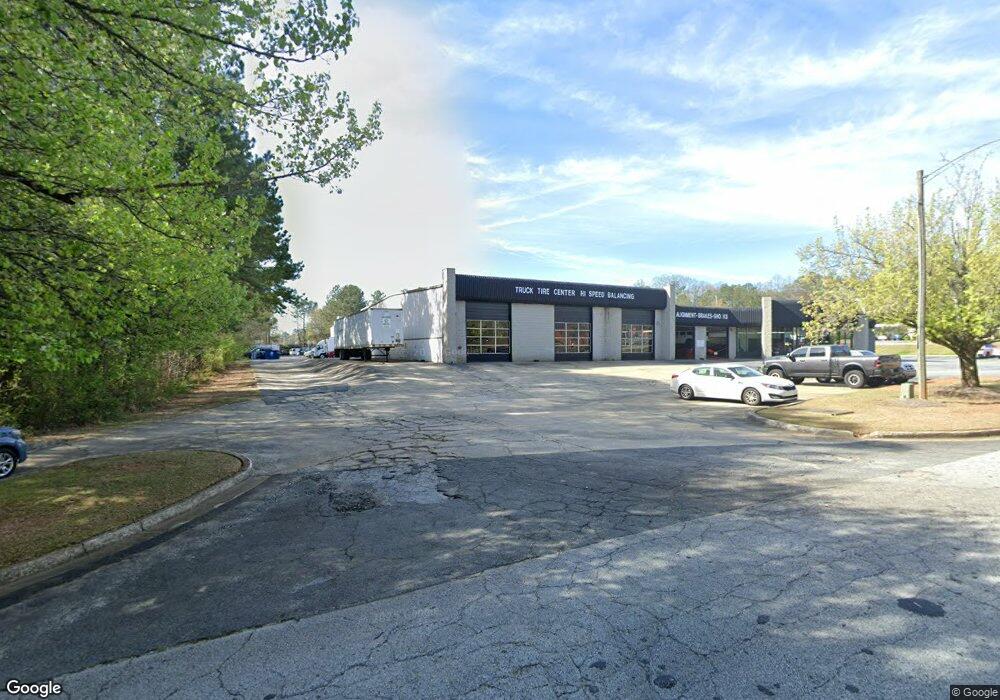
4701 Austell Rd Austell, GA 30106
Estimated Value: $2,470,659
Studio
--
Bath
14,712
Sq Ft
$168/Sq Ft
Est. Value
About This Home
This home is located at 4701 Austell Rd, Austell, GA 30106 and is currently estimated at $2,470,659, approximately $167 per square foot. 4701 Austell Rd is a home located in Cobb County with nearby schools including Sanders Elementary School, Garrett Middle School, and South Cobb High School.
Ownership History
Date
Name
Owned For
Owner Type
Purchase Details
Closed on
Dec 6, 2022
Sold by
Craigal Property Llc
Bought by
Td Management Ltd
Current Estimated Value
Purchase Details
Closed on
Oct 31, 2019
Sold by
4035 Canton Road Llc
Bought by
4775 Austell Road Llc
Purchase Details
Closed on
Jan 5, 2018
Sold by
Mat Investments Llc
Bought by
4035 Canton Road Llc
Purchase Details
Closed on
Jun 9, 2008
Sold by
M A T Investments Llc
Bought by
Stallion Pkwy Props Llc
Home Financials for this Owner
Home Financials are based on the most recent Mortgage that was taken out on this home.
Original Mortgage
$1,909,708
Interest Rate
6%
Mortgage Type
Commercial
Create a Home Valuation Report for This Property
The Home Valuation Report is an in-depth analysis detailing your home's value as well as a comparison with similar homes in the area
Home Values in the Area
Average Home Value in this Area
Purchase History
| Date | Buyer | Sale Price | Title Company |
|---|---|---|---|
| Td Management Ltd | $2,335,000 | -- | |
| 4775 Austell Road Llc | $285,000 | -- | |
| 4035 Canton Road Llc | $285,000 | -- | |
| Stallion Pkwy Props Llc | $550,000 | -- |
Source: Public Records
Mortgage History
| Date | Status | Borrower | Loan Amount |
|---|---|---|---|
| Previous Owner | Stallion Pkwy Props Llc | $1,909,708 |
Source: Public Records
Tax History
| Year | Tax Paid | Tax Assessment Tax Assessment Total Assessment is a certain percentage of the fair market value that is determined by local assessors to be the total taxable value of land and additions on the property. | Land | Improvement |
|---|---|---|---|---|
| 2025 | $14,766 | $490,084 | $264,444 | $225,640 |
| 2024 | $12,663 | $420,000 | $252,684 | $167,316 |
| 2023 | $12,663 | $420,000 | $252,684 | $167,316 |
Source: Public Records
Map
Nearby Homes
- 4688 Bennett St
- 4778 Garrett Dr SW
- 4809 Hemlock Dr
- 1741 Seayes Rd
- 4630 Hemlock Dr
- 0 Clay Rd
- 2035 Mcduffie Rd
- 1756 Fairview Cir
- 4975 Brawner Lake Dr
- 4814 Clove Dr SW
- 2110 Plum Ln
- 2034 Drennon Ave
- 1809 Elmwood Dr
- 2349 Shire Ct
- 5075 S Cobb School Rd SW
- 1808 Elmwood Dr
- 4747 Nelda Dr
- 1590 Debbie Dr SW
- 2081 Lenoa Ln
- 2083 Lenoa Ln
- 4760 Austell Rd
- 4787 Austell Rd
- 4797 Roberta Circle Extension
- 4797 Roberta Cir
- 4730 Austell Rd
- 4793 Roberta Circle Extension
- 4731 Roberta Cir
- 4731 Roberta Cir
- 4798 Austell Rd
- 4743 Roberta Cir
- 4719 Roberta Cir Unit 2
- 4709 Roberta Cir
- 1960 Evergreen Dr
- 4693 Roberta Cir
- 1919 Seayes Rd
- 1980 Evergreen Dr
- 4758 Bennett St Unit I
- 1889 Seayes Rd
- 4732 Bennett St
- 4720 Bennett St
Your Personal Tour Guide
Ask me questions while you tour the home.