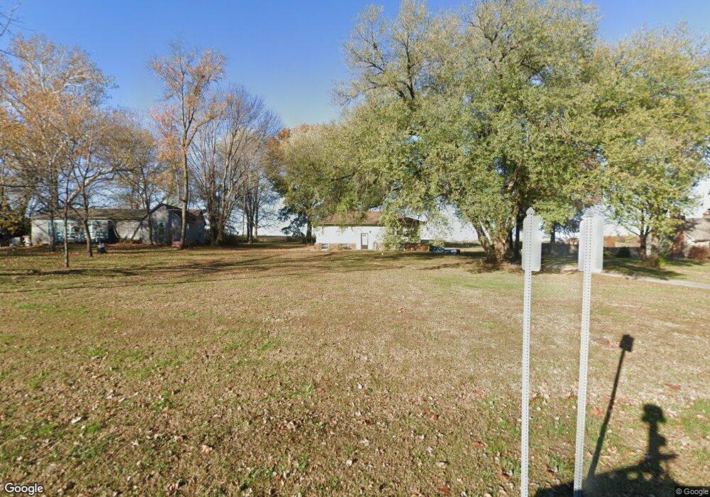
4704 10th Ave Leavenworth, KS 66048
Estimated Value: $208,757 - $244,000
2
Beds
1
Bath
37,760
Sq Ft
$6/Sq Ft
Est. Value
About This Home
This home is located at 4704 10th Ave, Leavenworth, KS 66048 and is currently estimated at $226,439, approximately $5 per square foot. 4704 10th Ave is a home located in Leavenworth County with nearby schools including Lansing Elementary School, Lansing Middle 6-8, and Lansing High 9-12.
Ownership History
Date
Name
Owned For
Owner Type
Purchase Details
Closed on
Apr 1, 2001
Bought by
Matzeder James J
Current Estimated Value
Home Financials for this Owner
Home Financials are based on the most recent Mortgage that was taken out on this home.
Original Mortgage
$75,000
Outstanding Balance
$27,421
Interest Rate
6.91%
Mortgage Type
New Conventional
Estimated Equity
$199,018
Create a Home Valuation Report for This Property
The Home Valuation Report is an in-depth analysis detailing your home's value as well as a comparison with similar homes in the area
Home Values in the Area
Average Home Value in this Area
Purchase History
| Date | Buyer | Sale Price | Title Company |
|---|---|---|---|
| Matzeder James J | $88,000 | -- |
Source: Public Records
Mortgage History
| Date | Status | Borrower | Loan Amount |
|---|---|---|---|
| Open | Matzeder James J | $75,000 |
Source: Public Records
Tax History Compared to Growth
Tax History
| Year | Tax Paid | Tax Assessment Tax Assessment Total Assessment is a certain percentage of the fair market value that is determined by local assessors to be the total taxable value of land and additions on the property. | Land | Improvement |
|---|---|---|---|---|
| 2025 | $2,453 | $21,080 | $6,408 | $14,672 |
| 2024 | $2,372 | $20,465 | $6,065 | $14,400 |
| 2023 | $2,372 | $21,223 | $6,065 | $15,158 |
| 2022 | $2,402 | $19,293 | $5,201 | $14,092 |
| 2021 | $2,010 | $15,564 | $3,717 | $11,847 |
| 2020 | $1,803 | $13,662 | $3,717 | $9,945 |
| 2019 | $1,754 | $13,262 | $3,717 | $9,545 |
| 2018 | $1,655 | $12,501 | $3,717 | $8,784 |
| 2017 | $1,569 | $12,501 | $3,717 | $8,784 |
| 2016 | $1,544 | $12,278 | $3,717 | $8,561 |
| 2015 | $1,544 | $12,278 | $3,717 | $8,561 |
| 2014 | $1,519 | $12,278 | $3,717 | $8,561 |
Source: Public Records
Map
Nearby Homes
- 1023 Ironwood Ct
- 4606 Park Ln
- 4301 Ironwood Dr
- 4421 Grand Ct
- 749 Highland Dr
- 728 Eisenhower Rd
- 4036 Shrine Park Rd
- 3804 Garland Ave
- 108 Woodmoor Ct Unit Lot 100
- 1605 Shadow Dr
- 3225 Meadow Rd
- 3705 Shrine Park Rd
- 1013 Sycamore Ridge Dr
- 500 Muncie Rd
- 1204 Wildwood St
- 1320 Independence Ct
- 15915 Eisenhower Rd
- 911 Limit St
- 901 Limit St
- 00000 Limit St