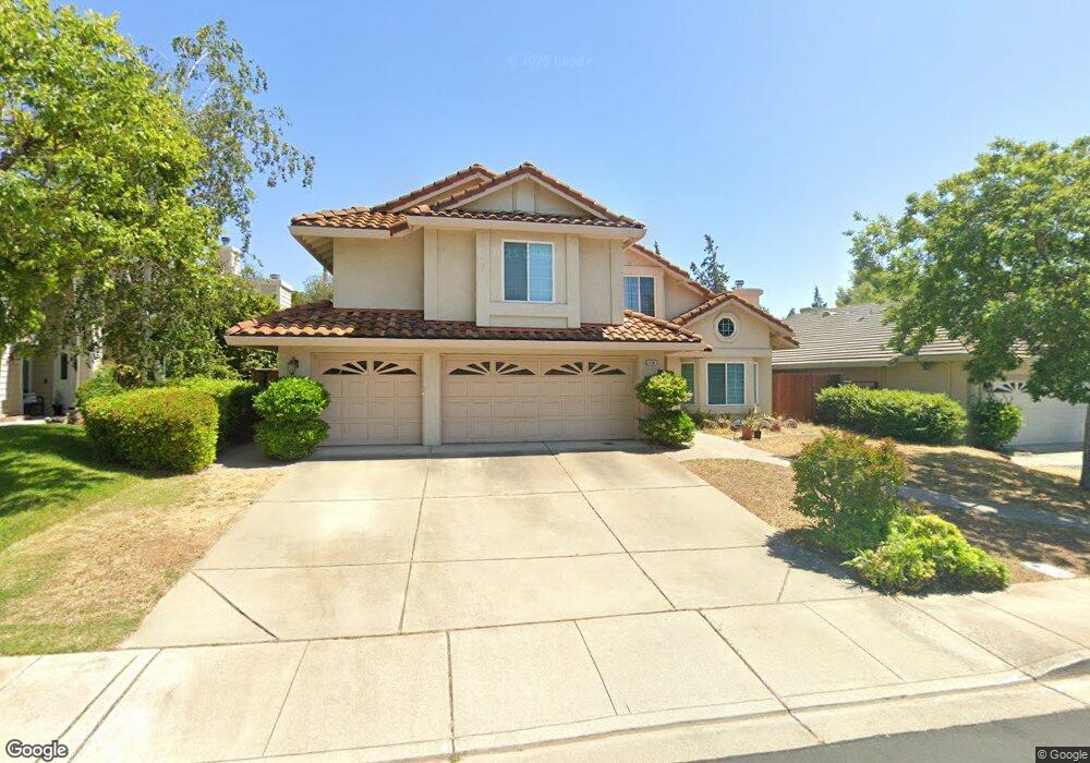
4704 Blackburn Peak Ct Antioch, CA 94531
Lone Tree Valley NeighborhoodEstimated Value: $760,557 - $866,000
5
Beds
3
Baths
3,275
Sq Ft
$244/Sq Ft
Est. Value
About This Home
This home is located at 4704 Blackburn Peak Ct, Antioch, CA 94531 and is currently estimated at $798,389, approximately $243 per square foot. 4704 Blackburn Peak Ct is a home located in Contra Costa County with nearby schools including John Muir Elementary School, Dallas Ranch Middle School, and Deer Valley High School.
Ownership History
Date
Name
Owned For
Owner Type
Purchase Details
Closed on
Apr 11, 2014
Sold by
Ho Hansel Hontao and Ho Janet Tak Sau
Bought by
The Family Trust Of Hansel & Janet Ho
Current Estimated Value
Purchase Details
Closed on
Oct 23, 2001
Sold by
Ho Hansel H and Ho Janet T
Bought by
Ho Hansel H and Ho Janet T
Home Financials for this Owner
Home Financials are based on the most recent Mortgage that was taken out on this home.
Original Mortgage
$200,000
Interest Rate
6.84%
Mortgage Type
Purchase Money Mortgage
Purchase Details
Closed on
Jan 31, 1995
Sold by
Warmington Enterprises L P
Bought by
Ho Hansel H and Ho Janet T
Home Financials for this Owner
Home Financials are based on the most recent Mortgage that was taken out on this home.
Original Mortgage
$204,800
Interest Rate
6.87%
Mortgage Type
Purchase Money Mortgage
Create a Home Valuation Report for This Property
The Home Valuation Report is an in-depth analysis detailing your home's value as well as a comparison with similar homes in the area
Home Values in the Area
Average Home Value in this Area
Purchase History
| Date | Buyer | Sale Price | Title Company |
|---|---|---|---|
| The Family Trust Of Hansel & Janet Ho | -- | None Available | |
| Ho Hansel H | -- | Fidelity National Title Co | |
| Ho Hansel H | $256,000 | Old Republic Title Company |
Source: Public Records
Mortgage History
| Date | Status | Borrower | Loan Amount |
|---|---|---|---|
| Closed | Ho Hansel H | $200,000 | |
| Closed | Ho Hansel H | $204,800 |
Source: Public Records
Tax History
| Year | Tax Paid | Tax Assessment Tax Assessment Total Assessment is a certain percentage of the fair market value that is determined by local assessors to be the total taxable value of land and additions on the property. | Land | Improvement |
|---|---|---|---|---|
| 2025 | $5,255 | $451,978 | $67,170 | $384,808 |
| 2024 | $5,128 | $443,116 | $65,853 | $377,263 |
| 2023 | $4,940 | $434,428 | $64,562 | $369,866 |
| 2022 | $4,861 | $425,911 | $63,297 | $362,614 |
| 2021 | $4,713 | $417,560 | $62,056 | $355,504 |
| 2019 | $4,604 | $405,176 | $60,216 | $344,960 |
| 2018 | $4,426 | $397,233 | $59,036 | $338,197 |
| 2017 | $4,333 | $389,445 | $57,879 | $331,566 |
| 2016 | $4,226 | $381,810 | $56,745 | $325,065 |
| 2015 | $4,522 | $376,076 | $55,893 | $320,183 |
| 2014 | $5,211 | $368,711 | $54,799 | $313,912 |
Source: Public Records
Map
Nearby Homes
- 4737 Crestone Peak Ct
- 4729 Matterhorn Ct
- 3508 Alberti Ct
- 4125 Rogers Canyon Rd
- 4101 S Royal Links Cir
- 4109 S Royal Links Cir
- 1157 Rockspring Way
- 1505 Barkley Mountain Way
- 5004 Star Mine Way
- 4153 S Royal Links Cir
- 2096 Goldpine Way
- 224 Cobblestone Dr
- 2133 Bamboo Way
- 4528 Fallow Way
- 3600 Gallagher Cir
- 1879 Mount Conness Way
- 4508 Muledeer Ct
- 5106 Watkings Way
- 14 El Capitan Ln
- 26 El Capitan Ln
- 4708 Blackburn Peak Ct
- 4700 Blackburn Peak Ct
- 4712 Blackburn Peak Ct
- 4715 Hunter Peak Ct
- 4707 Hunter Peak Ct
- 4719 Hunter Peak Ct
- 4703 Hunter Peak Ct
- 4705 Blackburn Peak Ct
- 4716 Blackburn Peak Ct
- 4709 Blackburn Peak Ct
- 4701 Blackburn Peak Ct
- 4723 Hunter Peak Ct
- 4713 Blackburn Peak Ct
- 4726 Cache Peak Dr
- 4720 Blackburn Peak Ct
- 4730 Cache Peak Dr
- 4727 Hunter Peak Ct
- 4717 Blackburn Peak Ct
- 4718 Cache Peak Dr
- 4734 Cache Peak Dr
Your Personal Tour Guide
Ask me questions while you tour the home.