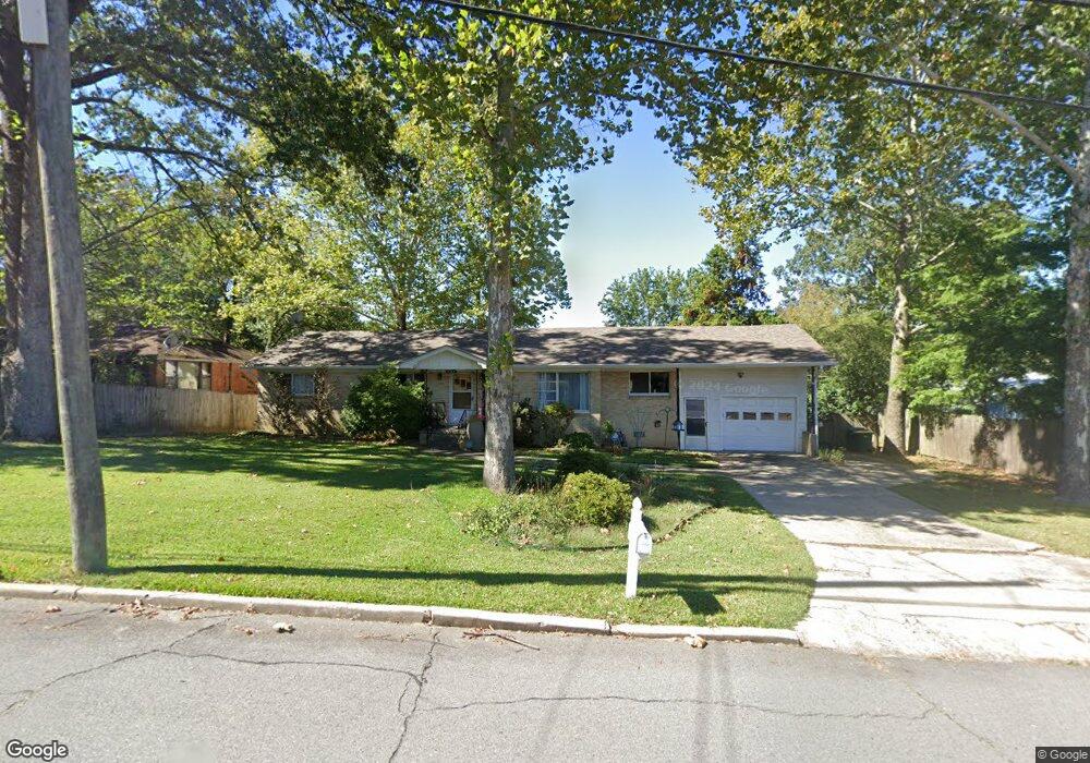
4704 Westwood Ave Little Rock, AR 72204
Westwood NeighborhoodEstimated Value: $103,930 - $143,000
--
Bed
3
Baths
1,499
Sq Ft
$88/Sq Ft
Est. Value
About This Home
This home is located at 4704 Westwood Ave, Little Rock, AR 72204 and is currently estimated at $131,483, approximately $87 per square foot. 4704 Westwood Ave is a home located in Pulaski County with nearby schools including Western Hills Elementary School, Cloverdale Middle School, and Little Rock Southwest High School.
Ownership History
Date
Name
Owned For
Owner Type
Purchase Details
Closed on
Sep 8, 1999
Sold by
Boyd Eddie and Boyd Louisa D
Bought by
Mayfield Jason
Current Estimated Value
Home Financials for this Owner
Home Financials are based on the most recent Mortgage that was taken out on this home.
Original Mortgage
$54,971
Outstanding Balance
$16,106
Interest Rate
7.9%
Mortgage Type
FHA
Estimated Equity
$115,377
Create a Home Valuation Report for This Property
The Home Valuation Report is an in-depth analysis detailing your home's value as well as a comparison with similar homes in the area
Home Values in the Area
Average Home Value in this Area
Purchase History
| Date | Buyer | Sale Price | Title Company |
|---|---|---|---|
| Mayfield Jason | $55,000 | First National Title Company |
Source: Public Records
Mortgage History
| Date | Status | Borrower | Loan Amount |
|---|---|---|---|
| Open | Mayfield Jason | $54,971 |
Source: Public Records
Tax History Compared to Growth
Tax History
| Year | Tax Paid | Tax Assessment Tax Assessment Total Assessment is a certain percentage of the fair market value that is determined by local assessors to be the total taxable value of land and additions on the property. | Land | Improvement |
|---|---|---|---|---|
| 2025 | $1,096 | $17,970 | $2,600 | $15,370 |
| 2024 | $1,005 | $17,970 | $2,600 | $15,370 |
| 2023 | $1,005 | $17,970 | $2,600 | $15,370 |
| 2022 | $960 | $17,970 | $2,600 | $15,370 |
| 2021 | $921 | $13,060 | $1,500 | $11,560 |
| 2020 | $539 | $13,060 | $1,500 | $11,560 |
| 2019 | $539 | $13,060 | $1,500 | $11,560 |
| 2018 | $564 | $13,060 | $1,500 | $11,560 |
| 2017 | $564 | $13,060 | $1,500 | $11,560 |
| 2016 | $755 | $15,780 | $3,200 | $12,580 |
| 2015 | $1,106 | $15,780 | $3,200 | $12,580 |
| 2014 | $1,106 | $15,780 | $3,200 | $12,580 |
Source: Public Records
Map
Nearby Homes
- 4623 Malloy St
- 4800 Westwood Ave
- 5 Westwood Ln
- 4500 Ludwig St
- 4814 Manor Ave
- 4412 Malloy St
- 8416 Westwood Ln
- 5006 Manor Ave
- 4422 Holt St
- 4411 Bowers St
- 000 Bowers St
- 4520 Weldon Ave
- 4110 Malloy St
- 4500 Weldon Ave
- 8307 Ascension Rd
- 4020 Malloy St
- Lot 53 Block 5 Westwood Ave
- 4117 West St
- 000 Elam St
- 4000 Weldon Ave
- 4702 Westwood Ave
- 4700 Westwood Ave
- 8923 Colonel Glenn Rd
- 4706 Westwood Ave
- 4703 Westwood Ave
- 4707 Westwood Ave
- 8916 Colonel Glenn Rd
- 8922 Colonel Glenn Rd
- 8916 Asher Ave
- 4719 Westwood Ave
- 9000 Colonel Glenn Rd
- 4714 Westwood Ave
- 1 Loblolly Dr
- 2 Loblolly Dr
- 4624 Malloy St
- 3 Loblolly Dr
- 4 Loblolly Dr
- 4805 Westwood Ave
- 4808 Westwood Ave
- 4701 Elam St