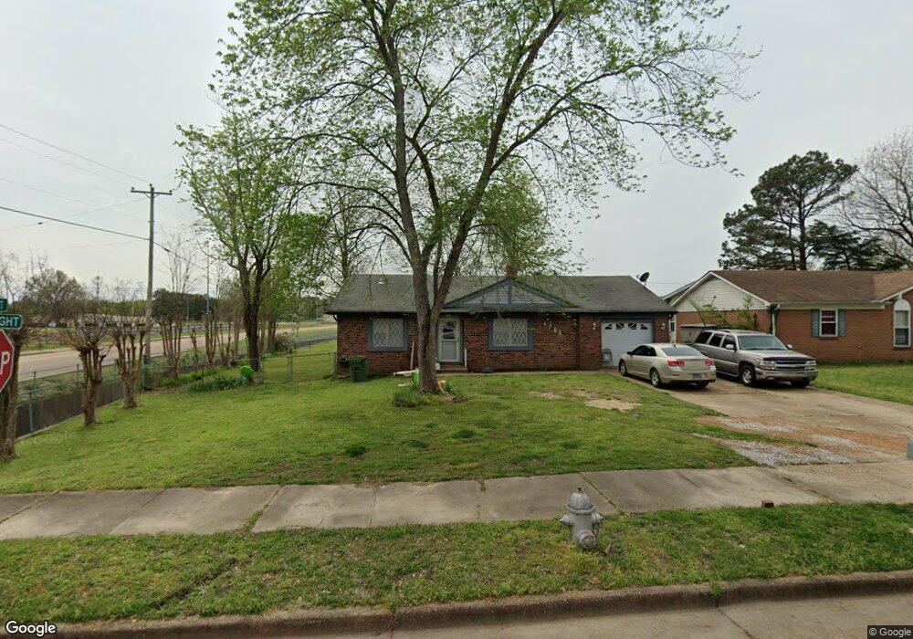
4705 Bill Knight Rd Millington, TN 38053
Estimated Value: $178,000 - $189,000
3
Beds
2
Baths
1,168
Sq Ft
$157/Sq Ft
Est. Value
About This Home
This home is located at 4705 Bill Knight Rd, Millington, TN 38053 and is currently estimated at $183,515, approximately $157 per square foot. 4705 Bill Knight Rd is a home located in Shelby County with nearby schools including Millington Elementary School, Millington High School, and Lighthouse Christian Academy.
Ownership History
Date
Name
Owned For
Owner Type
Purchase Details
Closed on
Mar 30, 2012
Sold by
Pruett Robert Ethan and Pruett Timothy Ray
Bought by
Pruett Johnny Garth
Current Estimated Value
Purchase Details
Closed on
Aug 21, 2001
Sold by
Scruggs Thomas W and Scruggs Jane M
Bought by
Adams Betty M
Purchase Details
Closed on
Mar 14, 1997
Sold by
Littlefield Harold R
Bought by
Adams Betty M and Scruggs Thomas W
Home Financials for this Owner
Home Financials are based on the most recent Mortgage that was taken out on this home.
Original Mortgage
$57,500
Interest Rate
7.69%
Create a Home Valuation Report for This Property
The Home Valuation Report is an in-depth analysis detailing your home's value as well as a comparison with similar homes in the area
Home Values in the Area
Average Home Value in this Area
Purchase History
| Date | Buyer | Sale Price | Title Company |
|---|---|---|---|
| Pruett Johnny Garth | -- | None Available | |
| Adams Betty M | -- | Memphis Title | |
| Adams Betty M | $71,900 | -- |
Source: Public Records
Mortgage History
| Date | Status | Borrower | Loan Amount |
|---|---|---|---|
| Previous Owner | Adams Betty M | $57,500 |
Source: Public Records
Tax History Compared to Growth
Tax History
| Year | Tax Paid | Tax Assessment Tax Assessment Total Assessment is a certain percentage of the fair market value that is determined by local assessors to be the total taxable value of land and additions on the property. | Land | Improvement |
|---|---|---|---|---|
| 2025 | $858 | $41,875 | $6,200 | $35,675 |
| 2024 | $2,078 | $30,650 | $4,725 | $25,925 |
| 2023 | $1,468 | $30,650 | $4,725 | $25,925 |
| 2022 | $1,468 | $30,650 | $4,725 | $25,925 |
| 2021 | $1,487 | $30,650 | $4,725 | $25,925 |
| 2020 | $1,172 | $21,000 | $4,725 | $16,275 |
| 2019 | $851 | $21,000 | $4,725 | $16,275 |
| 2018 | $1,172 | $21,000 | $4,725 | $16,275 |
| 2017 | $1,184 | $21,000 | $4,725 | $16,275 |
| 2016 | $1,233 | $20,900 | $0 | $0 |
| 2014 | $913 | $20,900 | $0 | $0 |
Source: Public Records
Map
Nearby Homes
- 4655 Doris Cir S
- 4690 Montgomery Rd
- 7727 Tecumseh St
- 4721 Janie Ave
- 8852 U S 51
- 4741 Janie Ave
- 5852 U S Highway 51
- 4752 Janie Cove
- 7288 U S Highway 51
- 0000 U S Highway 51
- 4812 Janie Ave
- 7988 Royster Creek Dr E
- 7994 Royster Creek Dr E
- 4880 Easley Ave
- 7963 Royster Creek Dr
- 7955 Royster Creek Dr
- 7943 Royster Creek Dr
- 7988 Royster Creek Dr
- 7932 Royster Creek Dr
- 7942 Royster Creek Dr
- 4697 Bill Knight Rd
- 4691 Bill Knight Rd
- 4715 Bill Knight Rd
- 4685 Bill Knight Rd
- 4714 Bill Knight Rd
- 4692 Bill Knight Rd
- 4725 Bill Knight Rd
- 4679 Bill Knight Rd
- 4722 Bill Knight Rd
- 4686 Bill Knight Rd
- 4733 Bill Knight Rd
- 4728 Bill Knight Rd
- 4680 Bill Knight Rd
- 4671 Bill Knight Rd
- 4701 Saratoga Rd
- 4715 Saratoga Rd
- 4739 Bill Knight Rd
- 4691 Saratoga Rd
- 4721 Saratoga Rd
- 4734 Bill Knight Rd