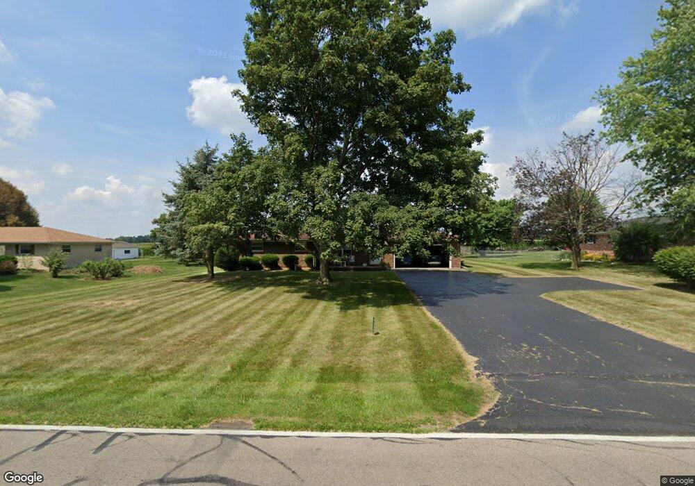
4705 Bosart Rd Springfield, OH 45503
Estimated Value: $211,000 - $249,000
3
Beds
2
Baths
1,248
Sq Ft
$184/Sq Ft
Est. Value
About This Home
This home is located at 4705 Bosart Rd, Springfield, OH 45503 and is currently estimated at $230,054, approximately $184 per square foot. 4705 Bosart Rd is a home located in Clark County with nearby schools including Rolling Hills Elementary School, Northridge Middle School, and Kenton Ridge Middle & High School.
Ownership History
Date
Name
Owned For
Owner Type
Purchase Details
Closed on
Jul 26, 2024
Sold by
Dennis Dominick L and Dennis Patricia
Bought by
Dennis Dominick L and Dennis Patricia
Current Estimated Value
Home Financials for this Owner
Home Financials are based on the most recent Mortgage that was taken out on this home.
Original Mortgage
$128,906
Outstanding Balance
$127,445
Interest Rate
6.86%
Mortgage Type
New Conventional
Estimated Equity
$102,609
Create a Home Valuation Report for This Property
The Home Valuation Report is an in-depth analysis detailing your home's value as well as a comparison with similar homes in the area
Home Values in the Area
Average Home Value in this Area
Purchase History
| Date | Buyer | Sale Price | Title Company |
|---|---|---|---|
| Dennis Dominick L | -- | None Listed On Document |
Source: Public Records
Mortgage History
| Date | Status | Borrower | Loan Amount |
|---|---|---|---|
| Open | Dennis Dominick L | $128,906 |
Source: Public Records
Tax History Compared to Growth
Tax History
| Year | Tax Paid | Tax Assessment Tax Assessment Total Assessment is a certain percentage of the fair market value that is determined by local assessors to be the total taxable value of land and additions on the property. | Land | Improvement |
|---|---|---|---|---|
| 2024 | $1,811 | $51,990 | $14,650 | $37,340 |
| 2023 | $1,811 | $51,990 | $14,650 | $37,340 |
| 2022 | $1,835 | $51,990 | $14,650 | $37,340 |
| 2021 | $1,866 | $46,010 | $12,110 | $33,900 |
| 2020 | $1,868 | $46,010 | $12,110 | $33,900 |
| 2019 | $1,904 | $46,010 | $12,110 | $33,900 |
| 2018 | $1,618 | $39,160 | $11,140 | $28,020 |
| 2017 | $1,387 | $42,995 | $11,141 | $31,854 |
| 2016 | $1,377 | $42,995 | $11,141 | $31,854 |
| 2015 | $1,587 | $43,961 | $12,107 | $31,854 |
| 2014 | $1,587 | $43,961 | $12,107 | $31,854 |
| 2013 | $1,550 | $43,961 | $12,107 | $31,854 |
Source: Public Records
Map
Nearby Homes
- 4644 Middle Urbana Rd
- 4849 Ashley Dr
- 4321 Tulane Rd
- 4249 Reno Rd
- 4740 Merrimont Ave
- 3963 Covington Dr Unit 3963
- 1709 Thomas Dr
- 4438 Tacoma St
- 4512 Ridgewood Rd E
- 4446 Ridgewood Rd E Unit 3
- 1640 Montego Dr
- 5220 Ridgewood Rd E
- 4050 Tacoma St
- 5127 Stoneridge Dr
- 1461 Student Ave
- 5249 Taywell Dr
- 3452 Bosart Rd
- 4622 W Ridgewood Rd