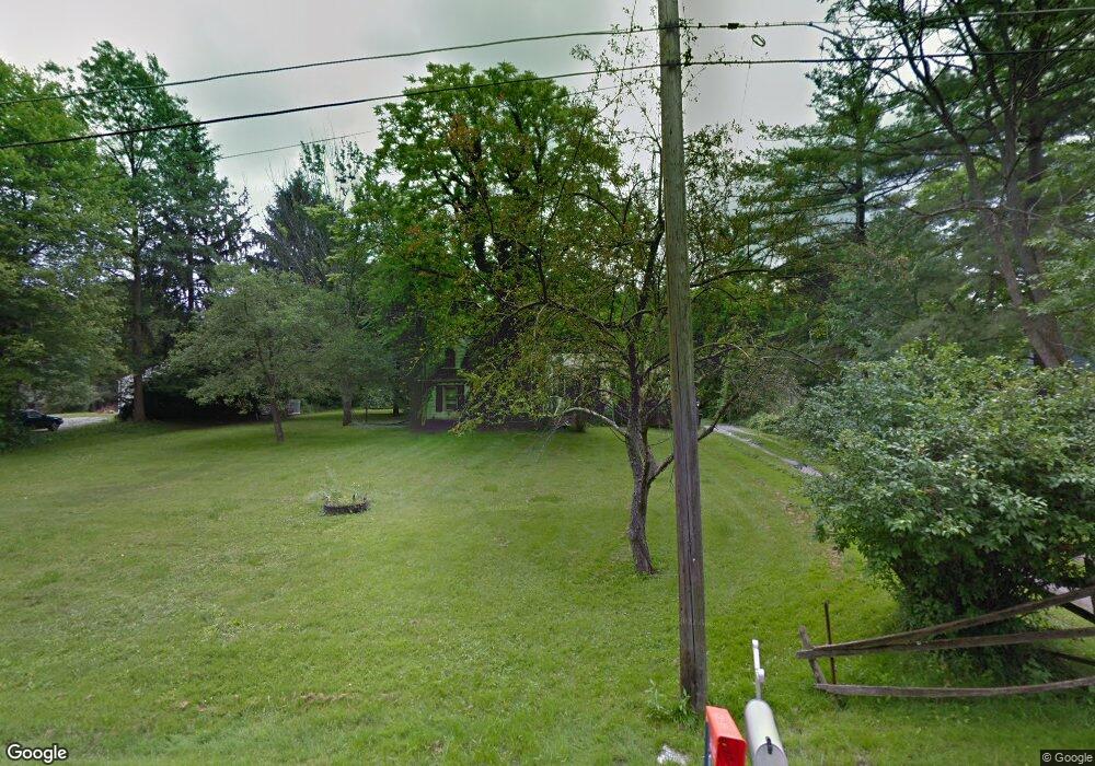
4705 E Webb Rd Youngstown, OH 44515
Austintown NeighborhoodEstimated Value: $47,000 - $287,048
3
Beds
1
Bath
1,363
Sq Ft
$124/Sq Ft
Est. Value
About This Home
This home is located at 4705 E Webb Rd, Youngstown, OH 44515 and is currently estimated at $169,016, approximately $124 per square foot. 4705 E Webb Rd is a home located in Mahoning County with nearby schools including Austintown Elementary School, Austintown Intermediate School, and Austintown Middle School.
Ownership History
Date
Name
Owned For
Owner Type
Purchase Details
Closed on
Aug 8, 2018
Sold by
Bernard Mark A and Yemma Daniel R
Bought by
Mahonning County Land Reutilization Corp
Current Estimated Value
Purchase Details
Closed on
Oct 5, 2017
Sold by
Bernard Mark A and Yemma Daniel R
Bought by
Mahoning County Land Reutilization Corp
Purchase Details
Closed on
Dec 29, 1995
Sold by
Spicher Kevin R
Bought by
Bernard Mark A
Home Financials for this Owner
Home Financials are based on the most recent Mortgage that was taken out on this home.
Original Mortgage
$62,673
Interest Rate
7.42%
Mortgage Type
New Conventional
Purchase Details
Closed on
Nov 23, 1993
Sold by
Gosnell Luella J
Bought by
Gosnell Luella J and T D
Create a Home Valuation Report for This Property
The Home Valuation Report is an in-depth analysis detailing your home's value as well as a comparison with similar homes in the area
Home Values in the Area
Average Home Value in this Area
Purchase History
| Date | Buyer | Sale Price | Title Company |
|---|---|---|---|
| Mahonning County Land Reutilization Corp | $8,176 | None Available | |
| Mahoning County Land Reutilization Corp | -- | None Available | |
| Bernard Mark A | $72,900 | -- | |
| Gosnell Luella J | $43,500 | -- |
Source: Public Records
Mortgage History
| Date | Status | Borrower | Loan Amount |
|---|---|---|---|
| Previous Owner | Bernard Mark A | $62,673 |
Source: Public Records
Tax History
| Year | Tax Paid | Tax Assessment Tax Assessment Total Assessment is a certain percentage of the fair market value that is determined by local assessors to be the total taxable value of land and additions on the property. | Land | Improvement |
|---|---|---|---|---|
| 2025 | -- | $7,060 | $7,060 | -- |
| 2024 | -- | $7,060 | $7,060 | -- |
| 2022 | $0 | $5,890 | $5,890 | $0 |
| 2021 | $3 | $5,890 | $5,890 | $0 |
| 2020 | $3 | $5,890 | $5,890 | $0 |
| 2019 | $373 | $5,890 | $5,890 | $0 |
| 2018 | $1,872 | $11,470 | $6,150 | $5,320 |
| 2017 | $1,498 | $11,470 | $6,150 | $5,320 |
| 2016 | $1,987 | $24,660 | $6,750 | $17,910 |
| 2015 | $3,929 | $24,660 | $6,750 | $17,910 |
| 2014 | $1,448 | $24,660 | $6,750 | $17,910 |
| 2013 | $1,433 | $24,660 | $6,750 | $17,910 |
Source: Public Records
Map
Nearby Homes
- 5133 Winslow Dr
- 613 N Raccoon Rd
- 1317 Cedarwood Dr
- 527 N Raccoon Rd
- 1945 Farmdale Ave
- 1913 Cloverbrook Dr
- 4154 Belle Ave
- 1764 Dumont Dr
- 1760 Dumont Dr
- 3990 Crum Rd
- 262 Idlewood Rd
- 181 N Yorkshire Blvd
- 151 N Yorkshire Blvd
- 1085 Beaver Dr
- 0 Norquest Blvd Unit 5175953
- 0 Norquest Blvd Unit 5175593
- 3727 Riblett Rd
- 97 Idlewood Rd
- 220 Carnegie Ave
- 4258 Mahoning Ave
- 4745 E Webb Rd
- 4745 E Webb Rd Unit 12
- 0 E Webb Rd Unit 4451193
- 0 E Webb Rd Unit 1534733
- 0 E Webb Rd Unit 4348743
- 0 E Webb Rd
- 4695 E Webb Rd
- 4700 E Webb Rd
- 4759 E Webb Rd
- 4710 E Webb Rd
- 4765 E Webb Rd
- 4631 E Webb Rd
- 4777 E Webb Rd
- 4611 E Webb Rd
- 4780 E Webb Rd
- 4786 E Webb Rd
- 4804 E Webb Rd
- 4810 E Webb Rd
- 4816 E Webb Rd
- 4525 E Webb Rd
Your Personal Tour Guide
Ask me questions while you tour the home.