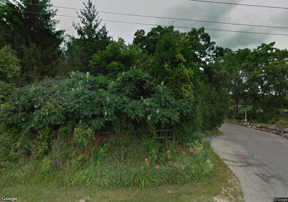
4707 Bronner Rd Middleton, WI 53562
Town of Middleton NeighborhoodEstimated Value: $709,000 - $952,000
4
Beds
4
Baths
3,570
Sq Ft
$241/Sq Ft
Est. Value
About This Home
This home is located at 4707 Bronner Rd, Middleton, WI 53562 and is currently estimated at $858,681, approximately $240 per square foot. 4707 Bronner Rd is a home located in Dane County with nearby schools including Sunset Ridge Elementary School, Glacier Creek Middle School, and Middleton High School.
Ownership History
Date
Name
Owned For
Owner Type
Purchase Details
Closed on
Aug 4, 2008
Sold by
Teff Michael G and Teff Barbara E
Bought by
Vanharen Andrew J and Vanharen Van Haren
Current Estimated Value
Home Financials for this Owner
Home Financials are based on the most recent Mortgage that was taken out on this home.
Original Mortgage
$412,000
Outstanding Balance
$272,785
Interest Rate
6.51%
Mortgage Type
Purchase Money Mortgage
Estimated Equity
$585,896
Create a Home Valuation Report for This Property
The Home Valuation Report is an in-depth analysis detailing your home's value as well as a comparison with similar homes in the area
Home Values in the Area
Average Home Value in this Area
Purchase History
| Date | Buyer | Sale Price | Title Company |
|---|---|---|---|
| Vanharen Andrew J | $512,500 | None Available |
Source: Public Records
Mortgage History
| Date | Status | Borrower | Loan Amount |
|---|---|---|---|
| Open | Vanharen Andrew J | $412,000 |
Source: Public Records
Tax History Compared to Growth
Tax History
| Year | Tax Paid | Tax Assessment Tax Assessment Total Assessment is a certain percentage of the fair market value that is determined by local assessors to be the total taxable value of land and additions on the property. | Land | Improvement |
|---|---|---|---|---|
| 2024 | $8,087 | $508,500 | $202,600 | $305,900 |
| 2023 | $7,800 | $508,500 | $202,600 | $305,900 |
| 2021 | $7,596 | $508,500 | $202,600 | $305,900 |
| 2020 | $7,298 | $430,400 | $171,600 | $258,800 |
| 2019 | $9,093 | $505,300 | $188,100 | $317,200 |
| 2018 | $8,357 | $505,300 | $188,100 | $317,200 |
| 2017 | $8,672 | $505,300 | $188,100 | $317,200 |
| 2016 | $8,771 | $505,300 | $188,100 | $317,200 |
| 2015 | $9,376 | $505,300 | $188,100 | $317,200 |
| 2014 | $9,091 | $505,300 | $188,100 | $317,200 |
| 2013 | $8,748 | $505,300 | $188,100 | $317,200 |
Source: Public Records
Map
Nearby Homes
- 4865 Champions Run
- 4924 Champions Run
- 4903 Capitol View Rd
- 8916 Red Beryl Dr
- 8903 White Coral Way
- 2814 Pleasant View Rd Unit 202
- 2812 Pleasant View Rd Unit 102
- 6988 Schneider Rd
- 5296 Ripp Rd
- 3317 Airport Rd
- 9230 Bear Claw Way
- L110 Hillcroft Ln
- 9809 Trappers Trail
- L77 Marchstone Blvd
- 3027 Acker St
- L80 Marchstone Blvd
- 9701 Trappers Trail
- L30-L31 Lindale Dr
- 725 Schewe Rd
- 301 King Arthurs Ct
- 8494 Stonebrook Cir
- 8630 Stonebrook Cir
- 4736 Sunset Ridge Dr
- 8624 Stonebrook Cir
- 8500 Stonebrook Cir
- 4732 Sunset Ridge Dr
- 8632 Airport Rd
- 4740 Sunset Ridge Dr
- 4715 Bronner Rd
- 8640 Airport Rd
- 4744 Sunset Ridge Dr
- 8618 Stonebrook Cir
- 8506 Stonebrook Cir
- 4748 Sunset Ridge Dr
- 8612 Stonebrook Cir
- 8514 Stonebrook Cir
- 4717 Bronner Rd
- 4688 Murphy Ct
- 4743 Sunset Ridge Dr
- 4735 Sunset Ridge Dr
