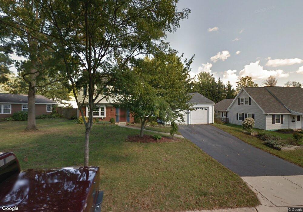
4708 Ramsgate Ln Bowie, MD 20715
Rockledge NeighborhoodEstimated Value: $497,000 - $512,000
Studio
3
Baths
1,872
Sq Ft
$269/Sq Ft
Est. Value
About This Home
This home is located at 4708 Ramsgate Ln, Bowie, MD 20715 and is currently estimated at $504,367, approximately $269 per square foot. 4708 Ramsgate Ln is a home located in Prince George's County with nearby schools including Rockledge Elementary School, Samuel Ogle Middle School, and Bowie High School.
Ownership History
Date
Name
Owned For
Owner Type
Purchase Details
Closed on
Aug 4, 1999
Sold by
Caron Daniel W
Bought by
Thompson William G and Thompson Cherryl G
Current Estimated Value
Purchase Details
Closed on
Apr 10, 1996
Sold by
Rodgers William S
Bought by
Caron Daniel W and Caron Alberta
Purchase Details
Closed on
Sep 15, 1967
Sold by
Levitt and Sons In
Bought by
Rodgers William S and Rodgers Carole S
Create a Home Valuation Report for This Property
The Home Valuation Report is an in-depth analysis detailing your home's value as well as a comparison with similar homes in the area
Home Values in the Area
Average Home Value in this Area
Purchase History
| Date | Buyer | Sale Price | Title Company |
|---|---|---|---|
| Thompson William G | $157,000 | -- | |
| Caron Daniel W | $148,500 | -- | |
| Rodgers William S | $25,100 | -- |
Source: Public Records
Tax History
| Year | Tax Paid | Tax Assessment Tax Assessment Total Assessment is a certain percentage of the fair market value that is determined by local assessors to be the total taxable value of land and additions on the property. | Land | Improvement |
|---|---|---|---|---|
| 2025 | $5,292 | $384,000 | $101,600 | $282,400 |
| 2024 | $5,292 | $369,300 | -- | -- |
| 2023 | $5,090 | $354,600 | $0 | $0 |
| 2022 | $4,845 | $339,900 | $101,600 | $238,300 |
| 2021 | $4,627 | $326,700 | $0 | $0 |
| 2020 | $4,490 | $313,500 | $0 | $0 |
| 2019 | $4,353 | $300,300 | $100,800 | $199,500 |
| 2018 | $4,219 | $289,600 | $0 | $0 |
| 2017 | $4,111 | $278,900 | $0 | $0 |
| 2016 | -- | $268,200 | $0 | $0 |
| 2015 | $3,415 | $262,333 | $0 | $0 |
| 2014 | $3,415 | $256,467 | $0 | $0 |
Source: Public Records
Map
Nearby Homes
- 12109 Whitehall Dr
- 4003 Woodrow Ln
- 4005 Woodhaven Ln
- 12409 Rockledge Dr
- 12415 Round Tree Ln
- 13926 Pecan Ridge Way
- 13928 Pecan Ridge Way
- Monterey II - Craftsman Plan at Pecan Ridge
- Lure Plan at Pecan Ridge
- Pinehurst II Plan at Pecan Ridge
- Annapolis - Craftsman Plan at Pecan Ridge
- Colorado Plan at Pecan Ridge
- Deerfield Plan at Pecan Ridge
- Emory II - Craftsman Plan at Pecan Ridge
- 7011 Old Chapel Dr
- 8512 River Park Rd
- 13814 Pecan Ridge Way
- 13812 Pecan Ridge Way
- 7709 Old Chapel Dr
- 8121 Triple Crown Rd
- 4706 Ramsgate Ln
- 4714 Ramsgate Ln
- 4720 Ramsgate Ln
- 12015 Rockledge Dr
- 12013 Rockledge Dr
- 12017 Rockledge Dr
- 4709 Ramsgate Ln
- 4707 Ramsgate Ln
- 4722 Ramsgate Ln
- 4711 Ramsgate Ln
- 12011 Rockledge Dr
- 4705 Ramsgate Ln
- 4713 Ramsgate Ln
- 4717 Ramsgate Ln
- 4719 Ramsgate Ln
- 4703 Ramsgate Ln
- 4726 Ramsgate Ln
- 4721 Ramsgate Ln
- 12124 Wilmont Turn
- 4715 Ramsgate Ln