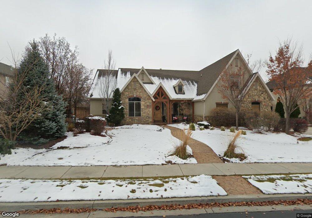
4709 W 10600 N Highland, UT 84003
Estimated Value: $1,020,000 - $1,235,820
3
Beds
6
Baths
2,895
Sq Ft
$388/Sq Ft
Est. Value
About This Home
This home is located at 4709 W 10600 N, Highland, UT 84003 and is currently estimated at $1,124,455, approximately $388 per square foot. 4709 W 10600 N is a home located in Utah County with nearby schools including Highland Elementary School, Mountain Ridge Junior High School, and Lone Peak High School.
Ownership History
Date
Name
Owned For
Owner Type
Purchase Details
Closed on
Jul 30, 2020
Sold by
Milne Mark and Milne Alicia
Bought by
Crandall Kevin and Crandall Jami
Current Estimated Value
Home Financials for this Owner
Home Financials are based on the most recent Mortgage that was taken out on this home.
Original Mortgage
$492,000
Outstanding Balance
$437,244
Interest Rate
3.1%
Mortgage Type
New Conventional
Estimated Equity
$687,211
Purchase Details
Closed on
Sep 12, 2016
Sold by
Crockett Dave and Crockett Carey Emmons
Bought by
Milne Mark and Milne Alicia
Home Financials for this Owner
Home Financials are based on the most recent Mortgage that was taken out on this home.
Original Mortgage
$456,000
Interest Rate
3.45%
Mortgage Type
New Conventional
Purchase Details
Closed on
Sep 24, 2004
Sold by
Crockett David E
Bought by
Crockett Dave
Home Financials for this Owner
Home Financials are based on the most recent Mortgage that was taken out on this home.
Original Mortgage
$379,500
Interest Rate
5.75%
Mortgage Type
New Conventional
Purchase Details
Closed on
Jan 16, 2004
Sold by
Lone Peak Links Llc
Bought by
Crockett David E
Create a Home Valuation Report for This Property
The Home Valuation Report is an in-depth analysis detailing your home's value as well as a comparison with similar homes in the area
Home Values in the Area
Average Home Value in this Area
Purchase History
| Date | Buyer | Sale Price | Title Company |
|---|---|---|---|
| Crandall Kevin | -- | Steed Title Insurance Agency | |
| Milne Mark | -- | Cottonwood Title Ins Ag | |
| Crockett Dave | -- | Mountain West Title Company | |
| Crockett David E | -- | Meridian Title Company |
Source: Public Records
Mortgage History
| Date | Status | Borrower | Loan Amount |
|---|---|---|---|
| Open | Crandall Kevin | $492,000 | |
| Previous Owner | Milne Mark | $456,000 | |
| Previous Owner | Crockett Dave | $379,500 |
Source: Public Records
Tax History Compared to Growth
Tax History
| Year | Tax Paid | Tax Assessment Tax Assessment Total Assessment is a certain percentage of the fair market value that is determined by local assessors to be the total taxable value of land and additions on the property. | Land | Improvement |
|---|---|---|---|---|
| 2025 | $4,326 | $582,065 | $433,800 | $624,500 |
| 2024 | $4,326 | $534,380 | $0 | $0 |
| 2023 | $4,027 | $536,580 | $0 | $0 |
| 2022 | $4,260 | $550,440 | $0 | $0 |
| 2021 | $3,668 | $705,900 | $231,500 | $474,400 |
| 2020 | $3,580 | $675,700 | $201,300 | $474,400 |
| 2019 | $3,422 | $675,700 | $201,300 | $474,400 |
| 2018 | $3,601 | $675,700 | $201,300 | $474,400 |
| 2017 | $3,672 | $367,785 | $0 | $0 |
| 2016 | $2,882 | $269,720 | $0 | $0 |
| 2015 | $2,975 | $263,945 | $0 | $0 |
| 2014 | $2,706 | $237,930 | $0 | $0 |
Source: Public Records
Map
Nearby Homes
- 10535 Janie Ln
- 4756 W 10370 N
- 4616 W Carriage Ln
- 10685 N Jerling Dr
- 4292 W Joshua Ln
- 10207 N Cottonwood Dr
- 5077 W 11000 N
- 4816 W Pocosin Ct Unit 755
- 4812 W Pocosin Ct
- 4812 Pocosin Ct Unit 754
- 4822 W Pocosin Ct Unit 756
- 4822 W Pocosin Ct
- 10087 N Torreya Dr Unit 728
- 10088 N Loblobby Ln Unit 726
- 10088 N Loblobby Ln
- 4811 Pocosin Ct
- 4821 W Pocosin Ct Unit 751
- 10052 N Marigold Ln
- 4924 Willowstone Dr
- 5159 W 11000 N
- 4709 W 10600 N Unit 6
- 4709 Caddie Ln
- 4725 Caddie Ln
- 4725 W 10600 N
- 4693 W 10600 N
- 4693 W 10600 N Unit 7
- 4693 Caddie Ln
- 4679 W 10600 N
- 4716 W 10600 N
- 4702 W 10600 N
- 4702 W 10600 N Unit 19
- 4747 W 10600 N
- 4684 W 10600 N
- 4684 W 10600 N Unit 18
- 4732 Caddie Ln
- 4732 Caddie Ln Unit 21
- 4732 W 10600 N Unit 21
- 4704 W Brookridge Ln
- 10568 N Janie Ln Unit 207
- 4663 W 10600 N