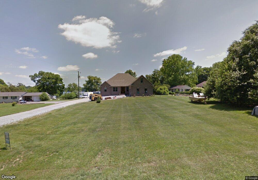
471 Braid Dr Mount Juliet, TN 37122
Estimated Value: $773,000 - $1,085,000
--
Bed
1
Bath
2,647
Sq Ft
$353/Sq Ft
Est. Value
About This Home
This home is located at 471 Braid Dr, Mount Juliet, TN 37122 and is currently estimated at $933,625, approximately $352 per square foot. 471 Braid Dr is a home located in Wilson County with nearby schools including West Elementary School, West Wilson Middle School, and Mt. Juliet High School.
Ownership History
Date
Name
Owned For
Owner Type
Purchase Details
Closed on
Aug 7, 2002
Sold by
Bostelman Jeraldine L
Bought by
Bostelman Donald R
Current Estimated Value
Home Financials for this Owner
Home Financials are based on the most recent Mortgage that was taken out on this home.
Original Mortgage
$73,000
Interest Rate
6.52%
Purchase Details
Closed on
Jul 26, 1961
Bought by
Bostelman Rudolph A and Bostelman Jeraldine L
Create a Home Valuation Report for This Property
The Home Valuation Report is an in-depth analysis detailing your home's value as well as a comparison with similar homes in the area
Home Values in the Area
Average Home Value in this Area
Purchase History
| Date | Buyer | Sale Price | Title Company |
|---|---|---|---|
| Bostelman Donald R | $95,000 | -- | |
| Bostelman Rudolph A | -- | -- |
Source: Public Records
Mortgage History
| Date | Status | Borrower | Loan Amount |
|---|---|---|---|
| Closed | Bostelman Rudolph A | $73,000 |
Source: Public Records
Tax History Compared to Growth
Tax History
| Year | Tax Paid | Tax Assessment Tax Assessment Total Assessment is a certain percentage of the fair market value that is determined by local assessors to be the total taxable value of land and additions on the property. | Land | Improvement |
|---|---|---|---|---|
| 2024 | $2,797 | $146,525 | $43,750 | $102,775 |
| 2022 | $2,797 | $146,525 | $43,750 | $102,775 |
| 2021 | $2,797 | $146,525 | $43,750 | $102,775 |
| 2020 | $3,440 | $146,525 | $43,750 | $102,775 |
| 2019 | $3,440 | $136,550 | $20,800 | $115,750 |
| 2018 | $3,440 | $136,550 | $20,800 | $115,750 |
| 2017 | $3,440 | $136,550 | $20,800 | $115,750 |
| 2016 | $3,913 | $155,350 | $20,800 | $134,550 |
| 2015 | $3,993 | $155,350 | $20,800 | $134,550 |
| 2014 | $2,551 | $99,245 | $0 | $0 |
Source: Public Records
Map
Nearby Homes
- 210 Kortney Marie Place
- 209 Kortney Marie Place
- 19 Harbor Dr
- 66 Crestview Dr
- 128 Crestview Dr
- 95 Short Dr
- 4896 Benders Ferry Rd
- 141 Kathryn Adele Ln
- 1104 Port William Ct
- 4635 Benders Ferry Rd
- 0 Creighton Ln
- 0 Pointview Cir
- 1210 Windsor Dr
- 341 Sunset Island Trail
- 1082 Bradley Rd
- 379 Gilley Rd
- 185 Creighton Ln
- 0 Windsor Dr
- 817 Burton Point Rd
- 238 Ridgewater Way
- 451 Braid Dr
- 5885 Benders Ferry Rd
- 5905 Benders Ferry Rd
- 335 Braid Dr
- 6097 Benders Ferry Rd
- 311 Braid Dr
- 311 Braid Dr
- 294 Braid Dr
- 200 Lake Haven Dr
- 208 Lake Haven Dr
- 202 Lake Haven Dr
- 6111 Benders Ferry Rd
- 206 Lake Haven Dr
- 5844 Benders Ferry Rd
- 6075 Benders Ferry Rd
- 204 Lake Haven Dr
- 260 Braid Dr
- 5828 Benders Ferry Rd
- 5810 Benders Ferry Rd