471 NE Airpark Way Newberg, OR 97132
Estimated Value: $469,000 - $565,000
3
Beds
3
Baths
1,305
Sq Ft
$389/Sq Ft
Est. Value
About This Home
This home is located at 471 NE Airpark Way, Newberg, OR 97132 and is currently estimated at $507,857, approximately $389 per square foot. 471 NE Airpark Way is a home located in Yamhill County with nearby schools including Edwards Elementary School, Mountain View Middle School, and Newberg Senior High School.
Ownership History
Date
Name
Owned For
Owner Type
Purchase Details
Closed on
Nov 3, 2009
Sold by
Orchard Lair Investment Group
Bought by
Thurston Diana
Current Estimated Value
Home Financials for this Owner
Home Financials are based on the most recent Mortgage that was taken out on this home.
Original Mortgage
$200,000
Outstanding Balance
$129,665
Interest Rate
5.02%
Mortgage Type
New Conventional
Estimated Equity
$378,192
Create a Home Valuation Report for This Property
The Home Valuation Report is an in-depth analysis detailing your home's value as well as a comparison with similar homes in the area
Home Values in the Area
Average Home Value in this Area
Purchase History
| Date | Buyer | Sale Price | Title Company |
|---|---|---|---|
| Thurston Diana | $229,900 | Ticor Title Insurance Co |
Source: Public Records
Mortgage History
| Date | Status | Borrower | Loan Amount |
|---|---|---|---|
| Open | Thurston Diana | $200,000 |
Source: Public Records
Tax History Compared to Growth
Tax History
| Year | Tax Paid | Tax Assessment Tax Assessment Total Assessment is a certain percentage of the fair market value that is determined by local assessors to be the total taxable value of land and additions on the property. | Land | Improvement |
|---|---|---|---|---|
| 2025 | $4,429 | $274,498 | -- | -- |
| 2024 | $4,260 | $266,503 | -- | -- |
| 2023 | $4,114 | $258,741 | $0 | $0 |
| 2022 | $4,004 | $251,205 | $0 | $0 |
| 2021 | $3,895 | $243,888 | $0 | $0 |
| 2020 | $3,508 | $236,784 | $0 | $0 |
| 2019 | $3,460 | $229,887 | $0 | $0 |
| 2018 | $3,479 | $223,191 | $0 | $0 |
| 2017 | $3,698 | $216,690 | $0 | $0 |
| 2016 | $3,623 | $210,379 | $0 | $0 |
| 2015 | $3,558 | $204,254 | $0 | $0 |
| 2014 | $3,319 | $198,306 | $0 | $0 |
Source: Public Records
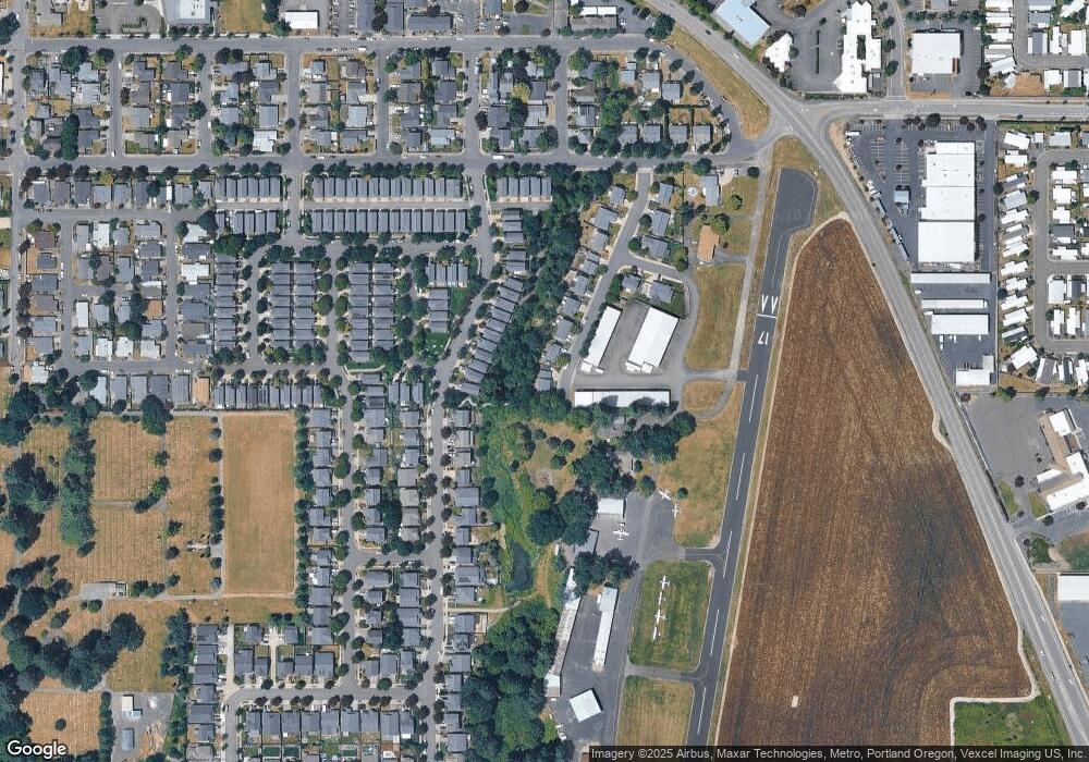
Map
Nearby Homes
- 492 Donna Dr
- 2501 E 2nd St
- 300 S Everest St
- 300 S Everest St Unit 44
- 300 S Everest Rd
- 301 S Everest Rd
- 2901 E 2nd St Unit 121
- 2901 E 2nd St Unit 109
- 2901 E 2nd St Unit 84
- 2901 E 2nd St Unit 126
- 2901 E 2nd St Unit 60
- 2901 E 2nd St Unit 117
- 2902 E 2nd St Unit 54
- 2902 E 2nd St Unit 110
- 2902 E 2nd St Unit 43
- 2902 E 2nd St Unit 67
- 2902 E 2nd St
- 2902 E 2nd St Unit 106
- 2902 E 2nd St Unit 18
- 2902 E 2nd St Unit 108
- 461 NE Airpark Way
- 451 NE Airpark Way
- 506 Corinne Dr
- 486 Corinne Dr
- 496 Corinne Dr
- 476 Corinne Dr
- 516 Corinne Dr
- 466 Corinne Dr
- 526 Corinne Dr
- 536 Corinne Dr
- 456 Corinne Dr
- 441 NE Airpark Way
- 446 Corinne Dr
- 546 Corinne Dr
- 436 Corinne Dr
- 426 Corinne Dr
- 426 S Corinne Dr
- 556 Corinne Dr
- 556 Corinne Dr Unit LT 28
- 0 Corinne Dr