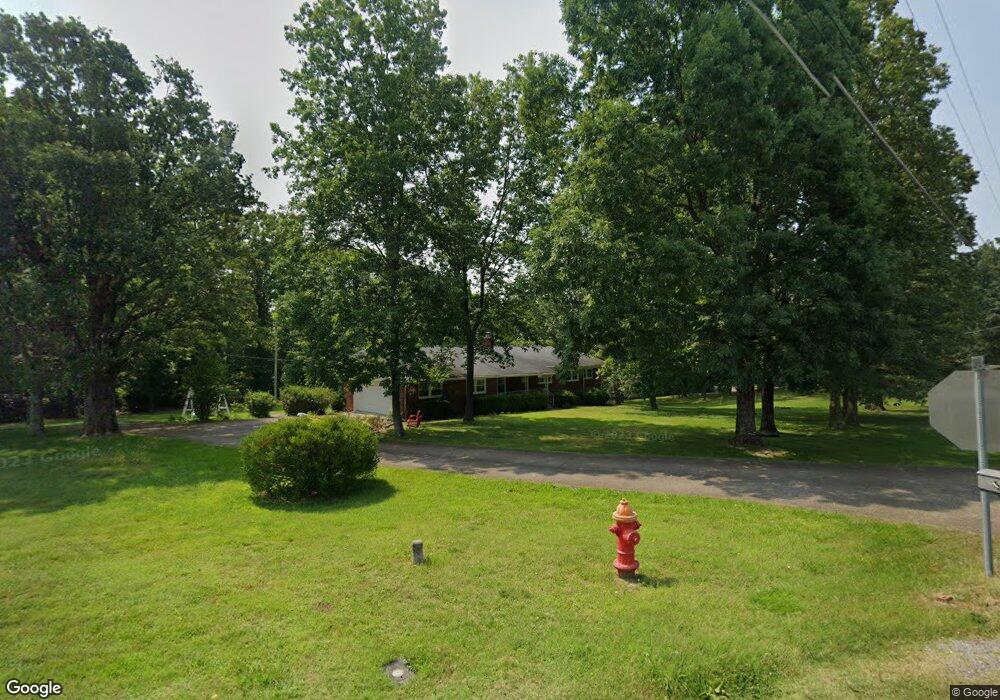
471 Powers Blvd Waverly, TN 37185
Estimated Value: $49,000 - $239,000
--
Bed
2
Baths
1,671
Sq Ft
$74/Sq Ft
Est. Value
About This Home
This home is located at 471 Powers Blvd, Waverly, TN 37185 and is currently estimated at $123,333, approximately $73 per square foot. 471 Powers Blvd is a home located in Humphreys County.
Ownership History
Date
Name
Owned For
Owner Type
Purchase Details
Closed on
Apr 15, 2024
Sold by
Durham William Michael
Bought by
William M Durham Sr And Rhonda S Durham Revoc and Durham
Current Estimated Value
Purchase Details
Closed on
Dec 3, 2018
Sold by
Odle Barbara Durham
Bought by
Durham William Michael
Purchase Details
Closed on
Sep 5, 2018
Sold by
Durham Michael and Odle Barbara
Bought by
Graves Mark E and Graves Janet E
Purchase Details
Closed on
Nov 15, 1960
Bought by
Durham William T and Durham Leoda
Create a Home Valuation Report for This Property
The Home Valuation Report is an in-depth analysis detailing your home's value as well as a comparison with similar homes in the area
Home Values in the Area
Average Home Value in this Area
Purchase History
| Date | Buyer | Sale Price | Title Company |
|---|---|---|---|
| William M Durham Sr And Rhonda S Durham Revoc | -- | None Listed On Document | |
| William M Durham Sr And Rhonda S Durham Revoc | -- | None Listed On Document | |
| William M Durham Sr And Rhonda S Durham Revoc | -- | None Listed On Document | |
| Durham William Michael | -- | None Available | |
| Graves Mark E | $145,000 | None Available | |
| Durham William T | -- | -- |
Source: Public Records
Tax History Compared to Growth
Tax History
| Year | Tax Paid | Tax Assessment Tax Assessment Total Assessment is a certain percentage of the fair market value that is determined by local assessors to be the total taxable value of land and additions on the property. | Land | Improvement |
|---|---|---|---|---|
| 2024 | -- | $12,050 | $12,050 | $0 |
| 2023 | $367 | $12,050 | $12,050 | $0 |
| 2022 | $381 | $11,875 | $11,875 | $0 |
| 2021 | $381 | $11,875 | $11,875 | $0 |
| 2020 | $381 | $11,875 | $11,875 | $0 |
| 2019 | $387 | $11,750 | $11,750 | $0 |
| 2018 | $1,197 | $10,225 | $10,225 | $0 |
| 2017 | $1,197 | $36,350 | $11,825 | $24,525 |
| 2016 | $1,123 | $31,550 | $11,825 | $19,725 |
| 2015 | $1,123 | $31,550 | $11,825 | $19,725 |
| 2014 | $1,123 | $31,547 | $0 | $0 |
Source: Public Records
Map
Nearby Homes
- 454 Powers Blvd
- 448 Powers Blvd
- 122 Dylark Dr
- 129 Dylark Dr
- 109 Whippoorwill Dr
- 110 Hart Dr
- 380 Station Dr
- 15 Bill Ct
- 10 Bill Ct
- 0 Wellington Place Unit RTC2824030
- 101 Cedar Hill Dr
- 0 Cedar Hill Dr
- 100 Station Dr
- 131 Bern St
- 105 Eze Ave
- 106 Dogwood Cir
- 1006 E Main St
- 115 Stewart Ln
- 116 Stewart Ln
- 201 Post Rd
- 279 Cedar Hill Dr
- 470 Powers Blvd
- 475 Powers Blvd
- 280 Cedar Hill Dr
- 472 Powers Blvd
- 260 Cedar Hill Dr
- 467 Powers Blvd
- 466 Powers Blvd
- 240 Cedar Hill Dr
- 103 Dylark Dr
- 477 Powers Blvd
- 105 Dylark Dr
- 456 Powers Blvd
- 220 Cedar Hill Dr
- 481 Powers Blvd
- 104 Dylark Dr
- 210 Cedar Hill Dr
- 107 Dylark Dr
- 452 Powers Blvd
- 108 Dylark Dr