471 Rollins Rd Contoocook, NH 03229
Estimated Value: $839,000 - $1,052,077
4
Beds
2
Baths
4,344
Sq Ft
$213/Sq Ft
Est. Value
About This Home
This home is located at 471 Rollins Rd, Contoocook, NH 03229 and is currently estimated at $924,019, approximately $212 per square foot. 471 Rollins Rd is a home located in Merrimack County with nearby schools including Harold Martin School, Hopkinton Middle School, and The Beech Hill School.
Ownership History
Date
Name
Owned For
Owner Type
Purchase Details
Closed on
Aug 2, 2021
Sold by
Wallingford Phillip B
Bought by
P B Wallingford 1997 Ret
Current Estimated Value
Purchase Details
Closed on
Dec 7, 2020
Sold by
Carol W Murphy 1995 T
Bought by
Wallingford Philip B
Create a Home Valuation Report for This Property
The Home Valuation Report is an in-depth analysis detailing your home's value as well as a comparison with similar homes in the area
Home Values in the Area
Average Home Value in this Area
Purchase History
| Date | Buyer | Sale Price | Title Company |
|---|---|---|---|
| P B Wallingford 1997 Ret | -- | None Available | |
| Wallingford Philip B | $300,000 | None Available |
Source: Public Records
Tax History Compared to Growth
Tax History
| Year | Tax Paid | Tax Assessment Tax Assessment Total Assessment is a certain percentage of the fair market value that is determined by local assessors to be the total taxable value of land and additions on the property. | Land | Improvement |
|---|---|---|---|---|
| 2024 | $21,343 | $975,000 | $340,900 | $634,100 |
| 2023 | $19,790 | $565,100 | $180,900 | $384,200 |
| 2022 | $18,224 | $565,100 | $180,900 | $384,200 |
| 2020 | $16,529 | $565,100 | $180,900 | $384,200 |
| 2019 | $16,456 | $565,100 | $180,900 | $384,200 |
| 2018 | $16,731 | $481,600 | $150,900 | $330,700 |
| 2017 | $16,085 | $469,100 | $150,900 | $318,200 |
| 2016 | $15,738 | $469,100 | $150,900 | $318,200 |
| 2015 | $15,771 | $469,100 | $150,900 | $318,200 |
| 2014 | $15,274 | $469,100 | $150,900 | $318,200 |
| 2013 | $13,982 | $486,500 | $178,000 | $308,500 |
Source: Public Records
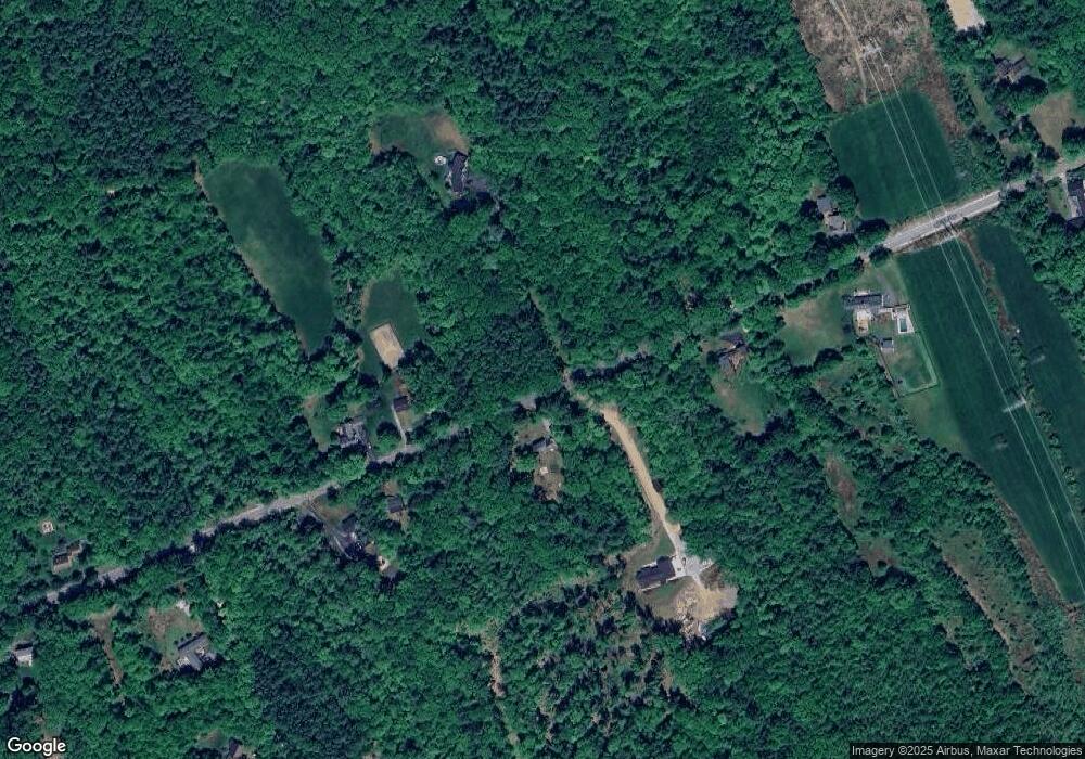
Map
Nearby Homes
- 102 Fieldstone Rd
- 89 Old Henniker Rd
- 0 George Rd Unit 30
- 0 Bound Tree Rd Unit 50 5060705
- 541 South Rd
- 656 Dolly Rd
- 256 Irish Hill Rd
- 0 Farrington Corner Rd Unit 14
- 38 Woodwells Garrison Rd
- 148 Broad Cove Dr
- 256-0-17 Jewett Rd
- 464 Irish Hill Rd
- 455 Maple St
- 7 Currier Rd
- 108 Maple St
- 356 E Penacook Rd
- 104 River Grant Dr
- 167 Branch Londonderry Turnpike
- 155 Pamela Dr
- 106 Stacey Dr
- Lot 24 Rollins Rd
- 434 Rollins Rd
- 526 Rollins Rd
- 418 Rollins Rd
- 549 Rollins Rd
- 31 Hutchins Hill Rd
- 537 Crowell Rd
- 519 Crowell Rd
- 0 Corner of Rollins & Crowell Roads Unit 2767845
- 65 Hutchins Hill Rd
- 87 Hutchins Hill Rd
- 485 Crowell Rd
- 622 Rollins Rd
- 330 Rollins Rd
- 474 Crowell Rd
- 119 Hutchins Hill Rd
- 329 Rollins Rd
- 445 Crowell Rd
- 641 Rollins Rd
- 50 Hutchins Hill Rd