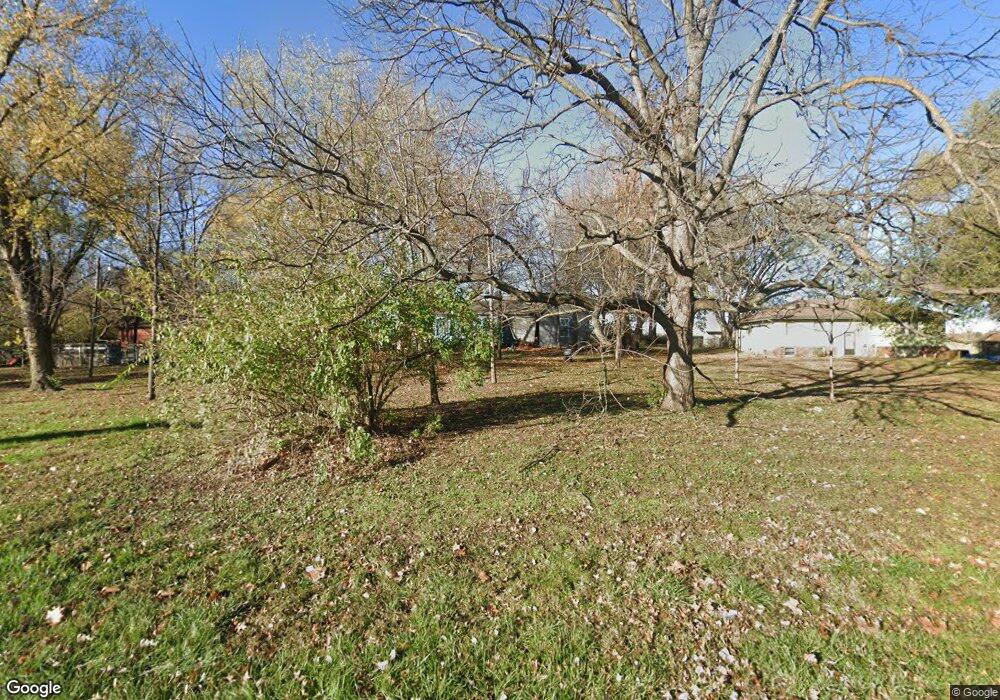
4710 10th Ave Leavenworth, KS 66048
Estimated Value: $221,761 - $306,000
4
Beds
2
Baths
1,515
Sq Ft
$176/Sq Ft
Est. Value
About This Home
This home is located at 4710 10th Ave, Leavenworth, KS 66048 and is currently estimated at $266,440, approximately $175 per square foot. 4710 10th Ave is a home located in Leavenworth County with nearby schools including Lansing Elementary School, Lansing Middle 6-8, and Lansing High 9-12.
Ownership History
Date
Name
Owned For
Owner Type
Purchase Details
Closed on
Mar 1, 1987
Bought by
Icke Paul E and Icke Cheryl
Current Estimated Value
Home Financials for this Owner
Home Financials are based on the most recent Mortgage that was taken out on this home.
Original Mortgage
$46,963
Outstanding Balance
$22,754
Interest Rate
9.07%
Mortgage Type
VA
Estimated Equity
$243,686
Create a Home Valuation Report for This Property
The Home Valuation Report is an in-depth analysis detailing your home's value as well as a comparison with similar homes in the area
Home Values in the Area
Average Home Value in this Area
Purchase History
| Date | Buyer | Sale Price | Title Company |
|---|---|---|---|
| Icke Paul E | $65,000 | -- |
Source: Public Records
Mortgage History
| Date | Status | Borrower | Loan Amount |
|---|---|---|---|
| Open | Icke Paul E | $46,963 | |
| Closed | Icke Paul E | $74,376 |
Source: Public Records
Tax History Compared to Growth
Tax History
| Year | Tax Paid | Tax Assessment Tax Assessment Total Assessment is a certain percentage of the fair market value that is determined by local assessors to be the total taxable value of land and additions on the property. | Land | Improvement |
|---|---|---|---|---|
| 2025 | $1,914 | $16,604 | $6,594 | $10,010 |
| 2024 | $1,865 | $16,119 | $6,213 | $9,906 |
| 2023 | $1,865 | $15,959 | $6,213 | $9,746 |
| 2022 | $1,801 | $14,481 | $5,327 | $9,154 |
| 2021 | $1,541 | $11,863 | $3,800 | $8,063 |
| 2020 | $1,378 | $10,369 | $3,800 | $6,569 |
| 2019 | $1,341 | $10,066 | $3,800 | $6,266 |
| 2018 | $1,314 | $9,869 | $3,800 | $6,069 |
| 2017 | $1,191 | $9,580 | $3,800 | $5,780 |
| 2016 | $1,194 | $9,580 | $3,800 | $5,780 |
| 2015 | $1,142 | $9,177 | $3,800 | $5,377 |
| 2014 | $1,081 | $8,845 | $3,800 | $5,045 |
Source: Public Records
Map
Nearby Homes
- 1023 Ironwood Ct
- 4606 Park Ln
- 4301 Ironwood Dr
- 4421 Grand Ct
- 749 Highland Dr
- 728 Eisenhower Rd
- 4036 Shrine Park Rd
- 3804 Garland Ave
- 108 Woodmoor Ct Unit Lot 100
- 1605 Shadow Dr
- 3225 Meadow Rd
- 3705 Shrine Park Rd
- 1013 Sycamore Ridge Dr
- 500 Muncie Rd
- 1204 Wildwood St
- 1320 Independence Ct
- 15915 Eisenhower Rd
- 911 Limit St
- 901 Limit St
- 00000 Limit St
