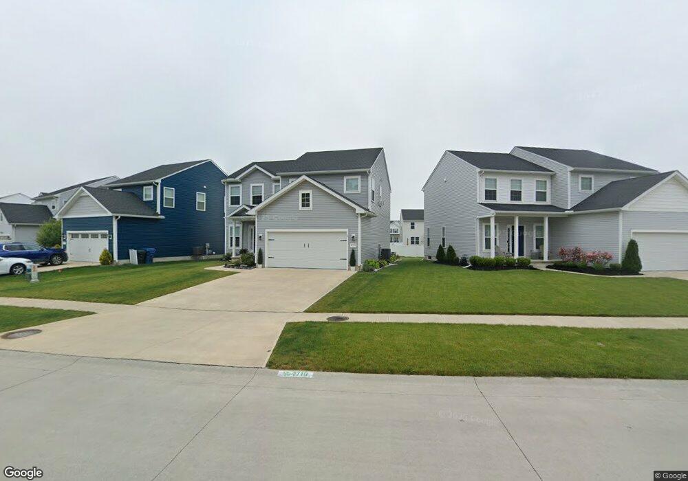
4710 Boulder Ln Lorain, OH 44053
Estimated Value: $205,000 - $442,000
4
Beds
3
Baths
2,128
Sq Ft
$158/Sq Ft
Est. Value
About This Home
This home is located at 4710 Boulder Ln, Lorain, OH 44053 and is currently estimated at $337,010, approximately $158 per square foot. 4710 Boulder Ln is a home with nearby schools including Powers Elementary School, Walter G. Nord Middle School, and Amherst Junior High School.
Ownership History
Date
Name
Owned For
Owner Type
Purchase Details
Closed on
Mar 9, 2021
Sold by
K Hovnanian Cornerstone Farms Llc
Bought by
Atkinson Michael W and Juhnke Jessica M
Current Estimated Value
Home Financials for this Owner
Home Financials are based on the most recent Mortgage that was taken out on this home.
Original Mortgage
$243,015
Outstanding Balance
$218,213
Interest Rate
2.8%
Mortgage Type
Construction
Estimated Equity
$118,797
Purchase Details
Closed on
Mar 5, 2021
Sold by
Lorain Cornerstone Farms Llc
Bought by
K Hovnanian Cornerstone Farms Llc
Home Financials for this Owner
Home Financials are based on the most recent Mortgage that was taken out on this home.
Original Mortgage
$243,015
Outstanding Balance
$218,213
Interest Rate
2.8%
Mortgage Type
Construction
Estimated Equity
$118,797
Create a Home Valuation Report for This Property
The Home Valuation Report is an in-depth analysis detailing your home's value as well as a comparison with similar homes in the area
Home Values in the Area
Average Home Value in this Area
Purchase History
| Date | Buyer | Sale Price | Title Company |
|---|---|---|---|
| Atkinson Michael W | $87,000 | None Available | |
| K Hovnanian Cornerstone Farms Llc | $155,200 | Examco Title Services |
Source: Public Records
Mortgage History
| Date | Status | Borrower | Loan Amount |
|---|---|---|---|
| Open | Atkinson Michael W | $243,015 |
Source: Public Records
Tax History
| Year | Tax Paid | Tax Assessment Tax Assessment Total Assessment is a certain percentage of the fair market value that is determined by local assessors to be the total taxable value of land and additions on the property. | Land | Improvement |
|---|---|---|---|---|
| 2024 | $1,385 | $29,750 | $29,750 | -- |
| 2023 | $918 | $15,621 | $15,621 | $0 |
| 2022 | $739 | $15,621 | $15,621 | $0 |
| 2021 | $608 | $12,495 | $12,495 | $0 |
| 2020 | $609 | $11,090 | $11,090 | $0 |
| 2019 | $0 | $11,090 | $11,090 | $0 |
| 2018 | $0 | $0 | $0 | $0 |
Source: Public Records
Map
Nearby Homes
- 4518 Santina Way
- 4253 Santina Way
- 3633 Reserve Trail
- 4513 Vineyard Dr
- 3794 Freedom Place
- 3784 Freedom Place
- 3774 Freedom Place Unit A
- 3772 Freedom Place Unit B
- 3770 Freedom Place Unit C
- 3769 Freedom Place
- 5227 Clovelly Dr
- 5547 Beavercrest Dr Unit 107
- 5547 Beavercrest Dr Unit 211
- 110 Habant Dr
- 5145 Cardinal Ct
- 4497 Bellow Dr
- 4559 Oakhill Blvd
- 3439 Morningside Way
- 3768 Martins Run Dr
- 1260 Meadowview Ln
- 4720 Boulder Ln
- 4700 Boulder Ln
- 4730 Boulder Ln
- 4690 Boulder Ln
- 4561 Cupola Dr
- 4559 Cupola Dr
- 4740 Boulder Ln
- 4680 Boulder Ln
- 4567 Cupola Dr
- 4553 Cupola Dr
- 4711 Boulder Ln
- 4717 Boulder Ln
- 4707 Boulder Ln
- 4750 Boulder Ln
- 4571 Cupola Dr
- 4721 Boulder Ln
- 4701 Boulder Ln
- 4670 Boulder Ln
- 4731 Boulder Ln
- 4551 Cupola Dr
Your Personal Tour Guide
Ask me questions while you tour the home.