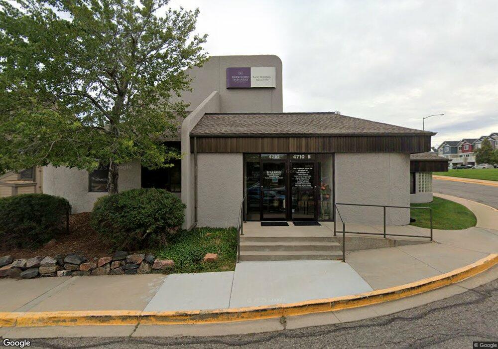
4710 Table Mesa Dr Boulder, CO 80305
South Boulder NeighborhoodEstimated Value: $1,865,151
Studio
--
Bath
8,970
Sq Ft
$208/Sq Ft
Est. Value
About This Home
This home is located at 4710 Table Mesa Dr, Boulder, CO 80305 and is currently estimated at $1,865,151, approximately $207 per square foot. 4710 Table Mesa Dr is a home located in Boulder County with nearby schools including Creekside Elementary School, Southern Hills Middle School, and Fairview High School.
Ownership History
Date
Name
Owned For
Owner Type
Purchase Details
Closed on
Dec 1, 1994
Sold by
Northland Investments Inc
Bought by
South Creek Iii
Current Estimated Value
Purchase Details
Closed on
Dec 24, 1992
Bought by
South Creek Iii
Purchase Details
Closed on
Nov 5, 1991
Bought by
South Creek Iii
Purchase Details
Closed on
Apr 11, 1978
Bought by
South Creek Iii
Create a Home Valuation Report for This Property
The Home Valuation Report is an in-depth analysis detailing your home's value as well as a comparison with similar homes in the area
Home Values in the Area
Average Home Value in this Area
Purchase History
| Date | Buyer | Sale Price | Title Company |
|---|---|---|---|
| South Creek Iii | $465,000 | Commonwealth Land Title Ins | |
| South Creek Iii | $320,000 | -- | |
| South Creek Iii | -- | -- | |
| South Creek Iii | -- | -- |
Source: Public Records
Tax History
| Year | Tax Paid | Tax Assessment Tax Assessment Total Assessment is a certain percentage of the fair market value that is determined by local assessors to be the total taxable value of land and additions on the property. | Land | Improvement |
|---|---|---|---|---|
| 2025 | $42,174 | $504,360 | $297,102 | $207,258 |
| 2024 | $42,174 | $504,360 | $297,102 | $207,258 |
| 2023 | $41,442 | $479,880 | $261,590 | $226,660 |
| 2022 | $41,877 | $450,950 | $197,200 | $253,750 |
| 2021 | $38,816 | $450,950 | $197,200 | $253,750 |
| 2020 | $38,622 | $443,700 | $197,200 | $246,500 |
| 2019 | $38,031 | $443,700 | $197,200 | $246,500 |
| 2018 | $38,422 | $443,158 | $259,037 | $184,121 |
| 2017 | $37,220 | $443,158 | $259,037 | $184,121 |
| 2016 | $28,854 | $333,326 | $155,933 | $177,393 |
| 2015 | $27,323 | $333,326 | $116,928 | $216,398 |
| 2014 | $28,026 | $333,326 | $116,928 | $216,398 |
Source: Public Records
Map
Nearby Homes
- 628 Tantra Dr Unit B
- 750 W Moorhead Cir Unit A
- 4835 Moorhead Ave
- 860 W Moorhead Cir Unit 1I
- 725 S 45th St
- 15 Pawnee Dr
- 4595 Moorhead Ave
- 405 S 43rd St
- 135 S 42nd St
- 1160 S Lashley Ln
- 375 S 40th St
- 230 Pawnee Dr
- 33 S Boulder Cir Unit 316
- 60 S Boulder Cir Unit 6015
- 130 Cherokee Way
- 20 S Boulder Cir Unit 20-2204
- 265 S 39th St
- 40 S Boulder Cir Unit 4034
- 40 S Boulder Cir Unit 4014
- 30 S Boulder Cir Unit 3018
- 602 Tantra Dr Unit E
- 555 Tantra Dr
- 601 Tantra Dr Unit 4
- 601 Tantra Dr Unit 7
- 601 Tantra Dr Unit 8
- 622 Tantra Dr Unit E
- 611 Tantra Dr
- 615 Tantra Dr
- 630 Tantra Dr Unit G
- 620 Tantra Dr Unit A
- 617 Tantra Dr
- 617 Tantra Dr
- 619 Tantra Dr
- 607 Tantra Dr Unit 3
- 672 Tantra Dr Unit G
- 682 Tantra Dr Unit F
- 670 Tantra Dr Unit C
- 684 Tantra Dr Unit B
- 656 Tantra Dr Unit H
- 650 Tantra Dr Unit G
Your Personal Tour Guide
Ask me questions while you tour the home.