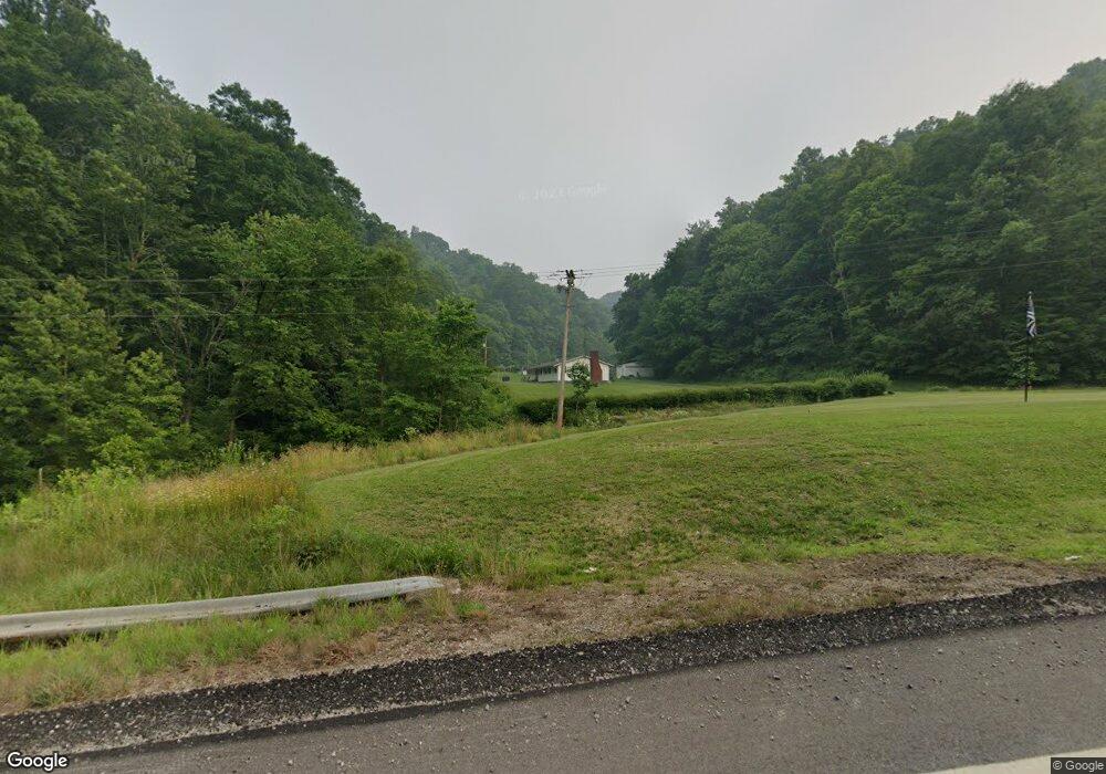
47101 State Route 78 Woodsfield, OH 43793
Estimated Value: $168,000 - $221,673
--
Bed
2
Baths
1,456
Sq Ft
$131/Sq Ft
Est. Value
About This Home
This home is located at 47101 State Route 78, Woodsfield, OH 43793 and is currently estimated at $190,418, approximately $130 per square foot. 47101 State Route 78 is a home located in Monroe County with nearby schools including Woodsfield Elementary School, River Elementary School, and Monroe Central High School.
Ownership History
Date
Name
Owned For
Owner Type
Purchase Details
Closed on
Sep 12, 2022
Sold by
Weaver Sally Robertson
Bought by
Barbara B Robertson Living Trust
Current Estimated Value
Purchase Details
Closed on
Jun 11, 2022
Sold by
Johnson Amy B and Johnson Peter
Bought by
Swn Production Ohio Llc
Purchase Details
Closed on
May 20, 2022
Sold by
Willis Buck Jr and Willis Diane M
Bought by
Swn Production Llc
Purchase Details
Closed on
Jun 18, 2018
Sold by
Estate Of Leo Starr
Bought by
Starr Leo D and Young Rita
Purchase Details
Closed on
May 31, 2017
Sold by
Estate Of Jane Elizabeth Kemmer Nee Davi
Bought by
Davis Alice A
Purchase Details
Closed on
Sep 2, 2008
Sold by
Pfalzgraf Shirley Dawn and Lallathin David Lee
Bought by
Lallthin Ralph G
Purchase Details
Closed on
Sep 3, 1993
Bought by
Lallathin Ralph Graydon and Lallathin Brenda C
Create a Home Valuation Report for This Property
The Home Valuation Report is an in-depth analysis detailing your home's value as well as a comparison with similar homes in the area
Home Values in the Area
Average Home Value in this Area
Purchase History
| Date | Buyer | Sale Price | Title Company |
|---|---|---|---|
| Barbara B Robertson Living Trust | -- | -- | |
| Swn Production Ohio Llc | $1,466 | None Listed On Document | |
| Swn Production Llc | -- | None Listed On Document | |
| Starr Leo D | -- | None Available | |
| Davis Alice A | -- | None Available | |
| Lallthin Ralph G | -- | -- | |
| Lallathin Ralph Graydon | -- | -- |
Source: Public Records
Tax History Compared to Growth
Tax History
| Year | Tax Paid | Tax Assessment Tax Assessment Total Assessment is a certain percentage of the fair market value that is determined by local assessors to be the total taxable value of land and additions on the property. | Land | Improvement |
|---|---|---|---|---|
| 2024 | $1,624 | $59,310 | $25,780 | $33,530 |
| 2023 | $1,624 | $59,310 | $25,780 | $33,530 |
| 2022 | $1,623 | $59,310 | $25,780 | $33,530 |
| 2021 | $1,534 | $55,570 | $21,150 | $34,420 |
| 2020 | $1,534 | $55,570 | $21,150 | $34,420 |
| 2019 | $1,531 | $55,460 | $21,040 | $34,420 |
| 2018 | $1,436 | $50,320 | $17,540 | $32,780 |
| 2017 | $1,446 | $50,320 | $17,540 | $32,780 |
| 2016 | $1,469 | $50,320 | $17,540 | $32,780 |
| 2015 | $1,247 | $40,580 | $11,630 | $28,950 |
| 2014 | $1,247 | $40,580 | $11,630 | $28,950 |
| 2013 | $1,306 | $39,430 | $11,290 | $28,140 |
Source: Public Records
Map
Nearby Homes
- 45725 Skyline Rd
- 44883 Bondi Ridge Rd
- 111 Main St
- 50504 State Route 556
- 618 Market St
- 52736 Fisher Hill Rd
- 0 Country Blvd Unit 5119547
- 0 Lot 2 Country Blvd
- 52100 State Route 536
- 45222 Benwood Rd
- 1246 Wren Dr
- 45247 W Union Rd
- 1233 Wren Dr
- 805 James St
- 74 Anson St
- 1221 Robin Dr
- 0 Lickskillet Rd
- 826 Meadow Dr
- 52876 Belmont Ave
- 296 N State Route 2
- 46038 Green Hill Rd
- 45815 Green Hill Rd
- 45968 Green Hill Rd
- 47131 State Route 78
- 45719 Green Hill Rd
- 47317 Mellott Ridge Rd
- 47126 Sunfish Creek Rd
- 45825 Winkler Rd
- 458970 Sr 78
- 47156 Sunfish Creek Rd
- 0 Mellott Ridge Rd
- 48090 Wood St
- 48047 Mill Alley
- 48098 Wood St
- 48064 Main St
- 48124 Wood St
- 48144 Wood St
- 48098 Wood St
- 48113 Main St
- 48139 Wood St
