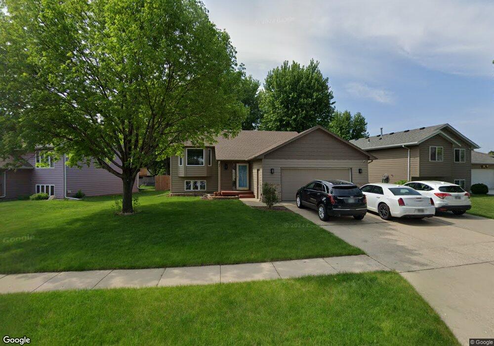
4711 E 4th St Sioux Falls, SD 57110
Northeast Sioux Falls NeighborhoodEstimated Value: $317,207 - $364,000
4
Beds
2
Baths
1,818
Sq Ft
$188/Sq Ft
Est. Value
About This Home
This home is located at 4711 E 4th St, Sioux Falls, SD 57110 and is currently estimated at $342,052, approximately $188 per square foot. 4711 E 4th St is a home located in Minnehaha County with nearby schools including Anne Sullivan Elementary School, Whittier Middle School, and Washington High School.
Ownership History
Date
Name
Owned For
Owner Type
Purchase Details
Closed on
Jul 12, 2019
Sold by
Bornitz Carrie A and Sturm Randy
Bought by
Subba Rajen and Tamang Tara D
Current Estimated Value
Home Financials for this Owner
Home Financials are based on the most recent Mortgage that was taken out on this home.
Original Mortgage
$157,500
Outstanding Balance
$137,984
Interest Rate
3.82%
Mortgage Type
New Conventional
Estimated Equity
$204,068
Create a Home Valuation Report for This Property
The Home Valuation Report is an in-depth analysis detailing your home's value as well as a comparison with similar homes in the area
Home Values in the Area
Average Home Value in this Area
Purchase History
| Date | Buyer | Sale Price | Title Company |
|---|---|---|---|
| Subba Rajen | $229,000 | None Available |
Source: Public Records
Mortgage History
| Date | Status | Borrower | Loan Amount |
|---|---|---|---|
| Open | Subba Rajen | $157,500 | |
| Closed | Subba Rajen | $157,500 |
Source: Public Records
Tax History
| Year | Tax Paid | Tax Assessment Tax Assessment Total Assessment is a certain percentage of the fair market value that is determined by local assessors to be the total taxable value of land and additions on the property. | Land | Improvement |
|---|---|---|---|---|
| 2024 | $3,723 | $272,800 | $26,600 | $246,200 |
| 2023 | $3,730 | $263,300 | $26,600 | $236,700 |
| 2022 | $3,679 | $245,100 | $26,600 | $218,500 |
| 2021 | $3,089 | $212,600 | $0 | $0 |
| 2020 | $3,089 | $196,500 | $0 | $0 |
| 2019 | $3,065 | $191,617 | $0 | $0 |
| 2018 | $2,784 | $184,616 | $0 | $0 |
| 2017 | $2,700 | $174,468 | $27,805 | $146,663 |
| 2016 | $2,700 | $169,135 | $27,805 | $141,330 |
| 2015 | $2,748 | $165,733 | $28,517 | $137,216 |
| 2014 | $2,560 | $157,422 | $28,517 | $128,905 |
Source: Public Records
Map
Nearby Homes
- 4912 E Brennan Dr
- 4721 E 3rd St
- 813 N Marquette Ave
- 4620 E 3rd St Unit 8
- 4509 -4515 E 3rd st St
- 707 709 N Marquette Ave
- 305 N La Salle Ave
- 632 N Yankee Ave
- 408 N Dewberry Ave
- 628 N Yankee Ave
- 624 N Yankee Ave
- 620 N Yankee Ave
- 616 N Yankee Ave
- 608 N Yankee Ave
- 5303 E Lake Placid Cir
- 621 N Union Ave
- 601 N Union Ave
- 608 N Union Ave
- 604 N Union Ave
- 600 N Union Ave
- 4705 E 4th St
- 4719 E 4th St
- 4904 E Brennan Dr
- 4908 E Brennan Dr
- 4900 E Brennan Dr
- 4900 E Brennan Ave
- 4801 E 4th St
- 4716 E 4th St
- 4708 E 4th St
- 4720 E 4th St
- 4805 E 4th St
- 4800 E 4th St
- 4704 E 4th St
- 4916 E Brennan Dr
- 4916 E Brennan Ave
- 4804 E 4th St
- 4700 E 4th St
- 4809 E 4th St
- 4905 E Brennan Dr
- 4905 E Brennan Ave
Your Personal Tour Guide
Ask me questions while you tour the home.