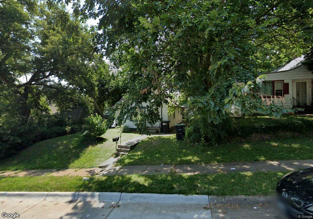
4711 Parker St Omaha, NE 68104
Military Avenue NeighborhoodEstimated Value: $175,000 - $203,000
3
Beds
3
Baths
1,420
Sq Ft
$132/Sq Ft
Est. Value
About This Home
This home is located at 4711 Parker St, Omaha, NE 68104 and is currently estimated at $188,029, approximately $132 per square foot. 4711 Parker St is a home located in Douglas County with nearby schools including Walnut Hill Elementary School, Lewis & Clark Middle School, and Benson Magnet High School.
Ownership History
Date
Name
Owned For
Owner Type
Purchase Details
Closed on
Aug 4, 2021
Sold by
Vo Kim Dung T
Bought by
Nguyen Hoang T and Nguyen Dung Kim
Current Estimated Value
Purchase Details
Closed on
May 2, 2016
Sold by
Nguyen Tri Dung and Le Sen Hong T
Bought by
Vo Kim Dung
Home Financials for this Owner
Home Financials are based on the most recent Mortgage that was taken out on this home.
Original Mortgage
$75,400
Interest Rate
3.71%
Mortgage Type
New Conventional
Create a Home Valuation Report for This Property
The Home Valuation Report is an in-depth analysis detailing your home's value as well as a comparison with similar homes in the area
Home Values in the Area
Average Home Value in this Area
Purchase History
| Date | Buyer | Sale Price | Title Company |
|---|---|---|---|
| Nguyen Hoang T | -- | None Available | |
| Vo Kim Dung | -- | First American Title Co |
Source: Public Records
Mortgage History
| Date | Status | Borrower | Loan Amount |
|---|---|---|---|
| Previous Owner | Vo Kim Dung | $75,400 |
Source: Public Records
Tax History Compared to Growth
Tax History
| Year | Tax Paid | Tax Assessment Tax Assessment Total Assessment is a certain percentage of the fair market value that is determined by local assessors to be the total taxable value of land and additions on the property. | Land | Improvement |
|---|---|---|---|---|
| 2025 | $1,857 | $115,000 | $24,800 | $90,200 |
| 2024 | $2,445 | $115,000 | $24,800 | $90,200 |
| 2023 | $2,445 | $115,900 | $24,800 | $91,100 |
| 2022 | $2,474 | $115,900 | $24,800 | $91,100 |
| 2021 | $0 | $99,500 | $24,800 | $74,700 |
| 2020 | $0 | $99,500 | $24,800 | $74,700 |
| 2019 | $1,718 | $80,000 | $6,800 | $73,200 |
| 2018 | $0 | $55,500 | $6,800 | $48,700 |
| 2017 | $447 | $55,500 | $6,800 | $48,700 |
| 2016 | $447 | $55,500 | $6,800 | $48,700 |
| 2015 | $325 | $55,500 | $6,800 | $48,700 |
| 2014 | $325 | $55,500 | $6,800 | $48,700 |
Source: Public Records
Map
Nearby Homes
- 4523 Blondo St
- 2016 N 48th St
- 2002 N 45th St
- 4537 Franklin St
- 4719 Grant St
- 2214 N 48th St
- 1801 N 49th St
- 4548 Seward St
- 1721 N 49th St
- 2031 N 49th St
- 2321 N 49th St
- 2318 N 49th St
- 4855 NW Radial Hwy
- 2408 N 49th St
- 4245 Grant St
- 2476 N 47th Ave
- 2516 N 48th Ave
- 4236 Burdette St
- 2525 N 48th Ave
- 2460 N 45th Ave
- 1824 NW Radial Hwy
- 4715 Parker St
- 4719 Parker St
- 1810 NW Radial Hwy
- 4723 Parker St
- 4706 Parker St
- 1804 NW Radial Hwy
- 4729 Parker St
- 4706 Parker St
- 1900 NW Radial Hwy
- 4710 Parker St
- 4708 Decatur St
- 12623 N Park St
- 4712 Decatur St
- 4733 Parker St
- 4720 Parker St
- 4716 Decatur St
- 1825 NW Radial Hwy
- 1825 NW Radial Hwy Unit 16
- 1825 NW Radial Hwy Unit 4