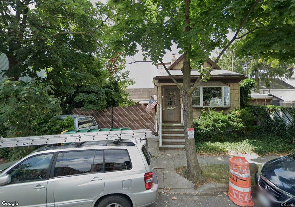
4712 Smart St Flushing, NY 11355
East Flushing NeighborhoodEstimated Value: $1,214,000 - $1,486,000
Studio
--
Bath
1,104
Sq Ft
$1,225/Sq Ft
Est. Value
About This Home
This home is located at 4712 Smart St, Flushing, NY 11355 and is currently estimated at $1,352,258, approximately $1,224 per square foot. 4712 Smart St is a home located in Queens County with nearby schools including P.S. 024 Andrew Jackson School, Rachel Carson I.S. 237Q, and Francis Lewis High School.
Ownership History
Date
Name
Owned For
Owner Type
Purchase Details
Closed on
Sep 3, 2025
Sold by
Joseph Amarose As Trustee and Marie Amarose Irrevocable Living Trust
Bought by
4712 Smart Llc
Current Estimated Value
Purchase Details
Closed on
Jul 17, 2024
Sold by
Amarose Marie
Bought by
Vino Mary Ellen
Purchase Details
Closed on
Apr 8, 1996
Sold by
Amarose Marie and Amarose Peter
Bought by
Amarose Marie
Create a Home Valuation Report for This Property
The Home Valuation Report is an in-depth analysis detailing your home's value as well as a comparison with similar homes in the area
Home Values in the Area
Average Home Value in this Area
Purchase History
| Date | Buyer | Sale Price | Title Company |
|---|---|---|---|
| 4712 Smart Llc | $1,480,000 | -- | |
| Vino Mary Ellen | -- | -- | |
| Vino Mary Ellen | -- | -- | |
| Amarose Marie | -- | First American Title Ins Co | |
| Amarose Marie | -- | First American Title Ins Co |
Source: Public Records
Tax History
| Year | Tax Paid | Tax Assessment Tax Assessment Total Assessment is a certain percentage of the fair market value that is determined by local assessors to be the total taxable value of land and additions on the property. | Land | Improvement |
|---|---|---|---|---|
| 2025 | $3,079 | $39,556 | $12,683 | $26,873 |
| 2024 | $3,183 | $38,263 | $11,525 | $26,738 |
| 2023 | $6,491 | $36,116 | $12,097 | $24,019 |
| 2022 | $2,774 | $52,320 | $16,680 | $35,640 |
| 2021 | $2,809 | $51,840 | $16,680 | $35,160 |
| 2020 | $2,830 | $48,720 | $16,680 | $32,040 |
| 2019 | $2,676 | $50,820 | $16,680 | $34,140 |
| 2018 | $2,409 | $30,097 | $10,142 | $19,955 |
| 2017 | $2,275 | $28,663 | $10,138 | $18,525 |
| 2016 | $2,125 | $28,663 | $10,138 | $18,525 |
| 2015 | $1,192 | $27,469 | $11,675 | $15,794 |
| 2014 | $1,192 | $26,572 | $13,504 | $13,068 |
Source: Public Records
Map
Nearby Homes
- 146-18 Laburnum Ave
- 146-23 Laburnum Ave
- 143-16 Holly Ave
- 148-24 Kalmia Ave
- 148-29 Laburnum Ave
- 148-11 Kalmia Ave
- 47-09 156th St
- 52-06 Bowne St
- 14214 Quince Ave
- 52-05 Robinson St
- 157-18 Laburnum Ave
- 45-30 Smart St
- 45-24 Burling St
- 46-40 Kissena Blvd
- 14014 Poplar Ave
- 14015 Holly Ave Unit 4th FL
- 50-16 Kissena Blvd
- 157-51 Rose Ave
- 140-19 Rose Ave
- 157-10 46th Ave
- 4718 Smart St
- 47-18 Smart St Unit 2 Fl
- 14316 Laburnum Ave
- 4722 Smart St
- 14320 Laburnum Ave
- 14312 Laburnum Ave
- 4717 Bowne St
- 4711 Bowne St
- 4719 Bowne St
- 4724 Smart St
- 14310 Laburnum Ave
- 144-02 Laburnum Ave
- 4725 Bowne St
- 143-15 Negundo Ave
- 47-25 Bowne St
- 14402 Laburnum Ave
- 143-10 Laburnum Ave
- 143-10 Laburnum Ave Unit 2Fl
- 4715 Smart St
- 4713 Smart St
Your Personal Tour Guide
Ask me questions while you tour the home.