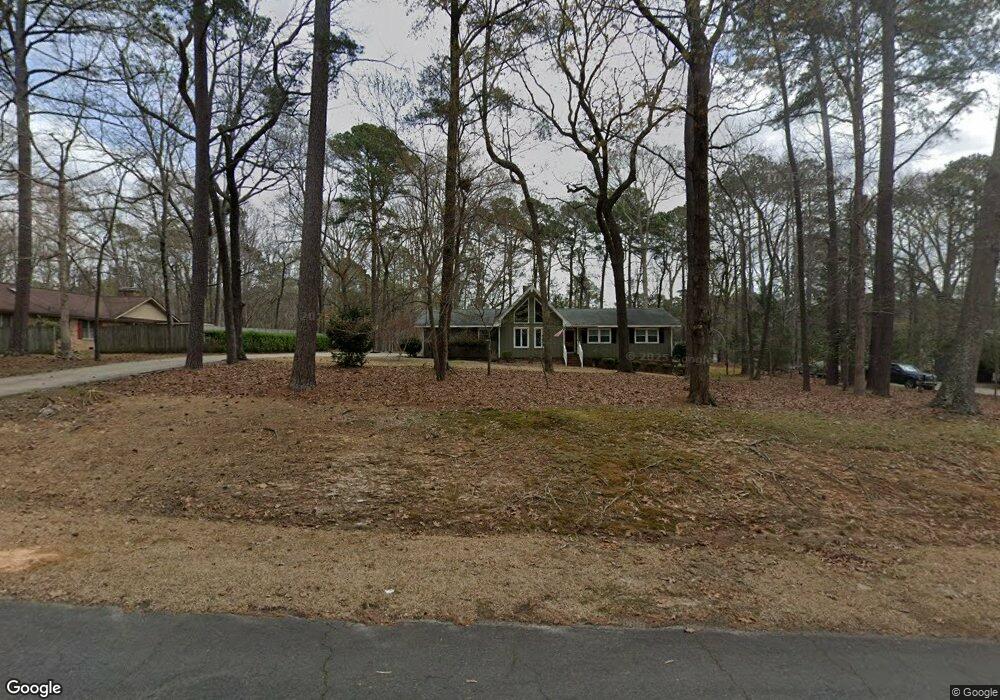
4713 Joseph Michael Ct Raleigh, NC 27606
Middle Creek NeighborhoodEstimated Value: $435,405 - $507,000
Studio
2
Baths
1,541
Sq Ft
$305/Sq Ft
Est. Value
About This Home
This home is located at 4713 Joseph Michael Ct, Raleigh, NC 27606 and is currently estimated at $470,101, approximately $305 per square foot. 4713 Joseph Michael Ct is a home located in Wake County with nearby schools including Swift Creek Elementary School, Dillard Drive Magnet Middle School, and Adventist Christian Academy of Raleigh.
Ownership History
Date
Name
Owned For
Owner Type
Purchase Details
Closed on
Apr 30, 2025
Sold by
Susan W Butler Revocable Trust and Taormina Kimberly B
Bought by
Kcb Rental Llc
Current Estimated Value
Purchase Details
Closed on
May 27, 2010
Sold by
Butler Susan W
Bought by
Butler Susan W
Purchase Details
Closed on
Jan 1, 1977
Bought by
Butler, Susan W Trustee
Create a Home Valuation Report for This Property
The Home Valuation Report is an in-depth analysis detailing your home's value as well as a comparison with similar homes in the area
Home Values in the Area
Average Home Value in this Area
Purchase History
| Date | Buyer | Sale Price | Title Company |
|---|---|---|---|
| Kcb Rental Llc | -- | None Listed On Document | |
| Butler Susan W | -- | None Available | |
| Butler, Susan W Trustee | $6,500 | -- |
Source: Public Records
Tax History
| Year | Tax Paid | Tax Assessment Tax Assessment Total Assessment is a certain percentage of the fair market value that is determined by local assessors to be the total taxable value of land and additions on the property. | Land | Improvement |
|---|---|---|---|---|
| 2025 | -- | $438,344 | $190,000 | $248,344 |
| 2024 | $2,742 | $438,344 | $190,000 | $248,344 |
Source: Public Records
Map
Nearby Homes
- 5101 Olde Rd S
- 5112 Laurie Dr
- 1905 Freewood Ct
- 5200 Milner Dr
- 2321 Toll Mill Ct
- 5505 Swiftbrook Cir
- 2020 Gardenbrook Dr
- 4308 Yates Mill Pond Rd
- 5704 Baird Dr
- 1629 Layhill Dr
- 1712 Layhill Dr
- 1709 Layhill Dr
- 1704 Layhill Dr
- 1716 Layhill Dr
- 1713 Layhill Dr
- 1708 Layhill Dr
- 4712 Haleytree Ct
- 4908 Birchleaf Dr
- 4700 Carolton Dr
- 2205 Wood Cutter Ct
- 4717 Joseph Michael Ct
- 4709 Joseph Michael Ct
- 2128 Beneventum Ct
- 2124 Beneventum Ct
- 4721 Joseph Michael Ct
- 4705 Joseph Michael Ct
- 2132 Beneventum Ct
- 4901 Dan David Dr
- 4700 Joseph Michael Ct
- 4700 Joseph-Michael Ct
- 0 Dan David Dr
- 4701 Joseph Michael Ct
- 4900 Dan David Dr
- 5016 Olde South Rd
- 4712 Joseph Michael Ct
- 2120 Beneventum Ct
- 4725 Joseph Michael Ct
- 4716 Joseph Michael Ct
- 2125 Beneventum Ct
- 4720 Joseph Michael Ct
Your Personal Tour Guide
Ask me questions while you tour the home.