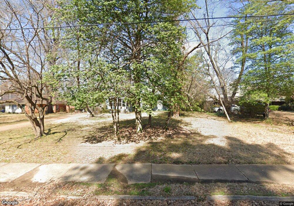
4714 Barfield Rd Memphis, TN 38117
East Memphis NeighborhoodEstimated Value: $420,363 - $596,000
3
Beds
2
Baths
3,762
Sq Ft
$136/Sq Ft
Est. Value
About This Home
This home is located at 4714 Barfield Rd, Memphis, TN 38117 and is currently estimated at $512,091, approximately $136 per square foot. 4714 Barfield Rd is a home located in Shelby County with nearby schools including White Station Elementary School, White Station High, and White Station Middle.
Ownership History
Date
Name
Owned For
Owner Type
Purchase Details
Closed on
Oct 15, 2021
Sold by
Mcgown Eugenia G
Bought by
Mccgown William B
Current Estimated Value
Purchase Details
Closed on
Jan 19, 2001
Sold by
Lichterman John D
Bought by
Mcgown William B and Mcgown Eugenia G
Home Financials for this Owner
Home Financials are based on the most recent Mortgage that was taken out on this home.
Original Mortgage
$135,000
Interest Rate
7.44%
Create a Home Valuation Report for This Property
The Home Valuation Report is an in-depth analysis detailing your home's value as well as a comparison with similar homes in the area
Home Values in the Area
Average Home Value in this Area
Purchase History
| Date | Buyer | Sale Price | Title Company |
|---|---|---|---|
| Mccgown William B | -- | None Available | |
| Mcgown William B | $221,500 | -- | |
| Mcgown William B | $221,500 | -- |
Source: Public Records
Mortgage History
| Date | Status | Borrower | Loan Amount |
|---|---|---|---|
| Previous Owner | Mcgown William B | $135,000 |
Source: Public Records
Tax History
| Year | Tax Paid | Tax Assessment Tax Assessment Total Assessment is a certain percentage of the fair market value that is determined by local assessors to be the total taxable value of land and additions on the property. | Land | Improvement |
|---|---|---|---|---|
| 2025 | $3,342 | $107,550 | $42,175 | $65,375 |
| 2024 | -- | $98,575 | $42,175 | $56,400 |
| 2023 | $6,005 | $98,575 | $42,175 | $56,400 |
| 2022 | $6,005 | $98,575 | $42,175 | $56,400 |
| 2021 | $6,075 | $98,575 | $42,175 | $56,400 |
| 2020 | $5,288 | $72,975 | $42,175 | $30,800 |
| 2019 | $5,288 | $72,975 | $42,175 | $30,800 |
| 2018 | $5,288 | $72,975 | $42,175 | $30,800 |
| 2017 | $2,999 | $72,975 | $42,175 | $30,800 |
| 2016 | $2,828 | $64,725 | $0 | $0 |
| 2014 | $2,828 | $64,725 | $0 | $0 |
Source: Public Records
Map
Nearby Homes
- 4723 Normandy Ln
- 4798 Normandy Ln
- 4640 Chickasaw Rd
- 4561 Minden Rd
- 352 Avon Rd
- 354 Avon Rd
- 91 N Grove Park Rd
- 4841 Fleetgrove Ave
- 371 N Mendenhall Rd
- 4525 Sequoia Rd
- 416 Elwood Ln
- 455 Oma Cove
- 180 Waring Rd
- 150 Waring Rd
- 154 Perkins Extension
- 159 Perkins Extension
- 4484 Charleswood Ave
- 123 E Cherry Dr
- 200 Perkins Extension
- 4974 Princeton Rd
- 4724 Barfield Rd
- 4704 Barfield Rd
- 4734 Barfield Rd
- 4690 Barfield Rd
- 201 Cecilia Dr
- 4731 Linda Ln
- 4709 Barfield Rd
- 4744 Barfield Rd
- 4723 Barfield Rd
- 205 Cecilia Dr
- 4741 Linda Ln
- 4701 Barfield Rd
- 4751 Linda Ln
- 4682 Barfield Rd
- 4735 Barfield Rd
- 4691 Barfield Rd
- 4754 Barfield Rd
- 4761 Linda Ln
- 4745 Barfield Rd
- 212 Cecilia Dr