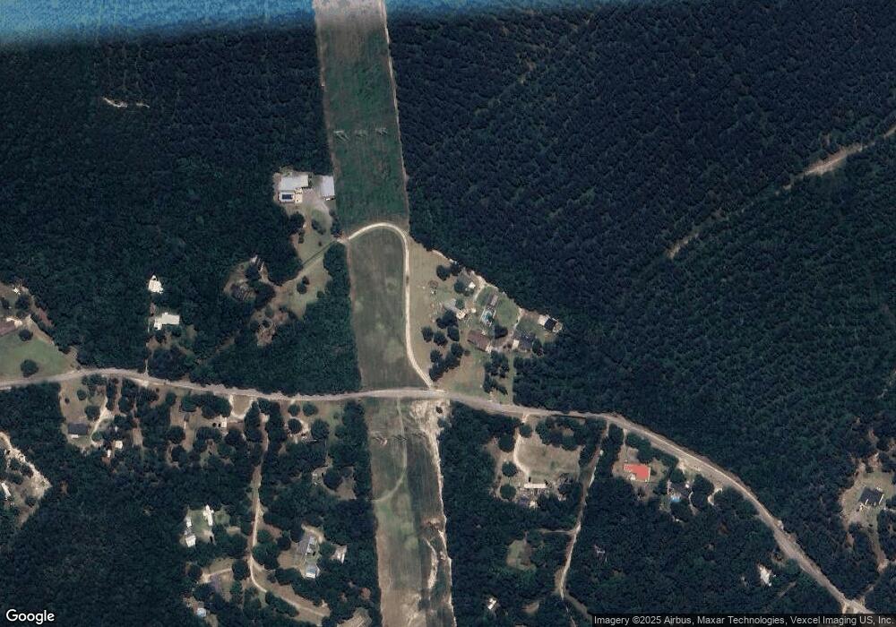
4715 Rollins Rd Augusta, GA 30906
McBean NeighborhoodEstimated Value: $92,480 - $276,000
--
Bed
2
Baths
1,680
Sq Ft
$102/Sq Ft
Est. Value
About This Home
This home is located at 4715 Rollins Rd, Augusta, GA 30906 and is currently estimated at $172,120, approximately $102 per square foot. 4715 Rollins Rd is a home located in Richmond County with nearby schools including McBean Elementary School, Pine Hill Middle School, and Johnson Magnet.
Ownership History
Date
Name
Owned For
Owner Type
Purchase Details
Closed on
Oct 31, 2019
Sold by
Cozart Ashley Toole
Bought by
Cozart Aaron S and Cozart Kristen M
Current Estimated Value
Purchase Details
Closed on
Aug 11, 2015
Sold by
Cozart Ashley Huffman
Bought by
Cozart Ashley Toole and Cozart William Spencer
Home Financials for this Owner
Home Financials are based on the most recent Mortgage that was taken out on this home.
Original Mortgage
$75,200
Interest Rate
4.16%
Mortgage Type
Commercial
Create a Home Valuation Report for This Property
The Home Valuation Report is an in-depth analysis detailing your home's value as well as a comparison with similar homes in the area
Home Values in the Area
Average Home Value in this Area
Purchase History
| Date | Buyer | Sale Price | Title Company |
|---|---|---|---|
| Cozart Aaron S | -- | -- | |
| Cozart Ashley Toole | -- | -- |
Source: Public Records
Mortgage History
| Date | Status | Borrower | Loan Amount |
|---|---|---|---|
| Previous Owner | Cozart Ashley Toole | $75,200 |
Source: Public Records
Tax History Compared to Growth
Tax History
| Year | Tax Paid | Tax Assessment Tax Assessment Total Assessment is a certain percentage of the fair market value that is determined by local assessors to be the total taxable value of land and additions on the property. | Land | Improvement |
|---|---|---|---|---|
| 2024 | $949 | $24,438 | $9,312 | $15,126 |
| 2023 | $345 | $23,990 | $9,312 | $14,678 |
| 2022 | $972 | $28,608 | $9,312 | $19,296 |
| 2021 | $1,011 | $27,800 | $9,312 | $18,488 |
| 2020 | $1,002 | $27,948 | $9,312 | $18,636 |
| 2019 | $991 | $26,022 | $7,440 | $18,582 |
| 2018 | $847 | $26,115 | $7,440 | $18,675 |
| 2017 | $1,001 | $26,142 | $7,440 | $18,702 |
Source: Public Records
Map
Nearby Homes
- 4654/4656 Mike Padgett Hwy
- 4374 Forest Rd
- 1085 Horseshoe Rd
- 1228 Brown Rd
- 157 Essence Dr
- 152 Essence Dr
- 113 Essence Dr
- 109 Essence Dr
- 4414 Seago Rd
- 4756 Mike Padgett Hwy
- 4413 Seago Rd
- 1029 Horseshoe Rd Unit B
- 1045 Horseshoe Rd
- 1049 Horseshoe Rd
- 1001 Alden Dr
- 4011 Brown Hurst Rd
- 4415 Seago Rd
- 1724 Pine Ridge Dr N
- 1660 Pine Ridge Dr N
- 1123 Hephzibah - McBean Rd
- 4713 Rollins Rd
- 4709 Rollins Rd
- 4716 Rollins Rd
- 4708 Rollins Rd
- 4718 Rollins Rd
- 4717 Rollins Rd
- 4719 Rollins Rd
- 4704 Rollins Rd
- 4680 Rollins Rd
- 4736 Rollins Rd
- 4684 Rollins Rd
- 4734 Rollins Rd
- 4734 Rollins Rd
- 0 Rollins Rd Unit 216498
- 0 Rollins Rd Unit 7071518
- 0 Rollins Rd
- 4705 Rollins Rd Unit TRACT 1B
- 4705 Rollins Rd Unit TRACT 1A
- 4705 Rollins Rd
- 4741 Rollins Rd
