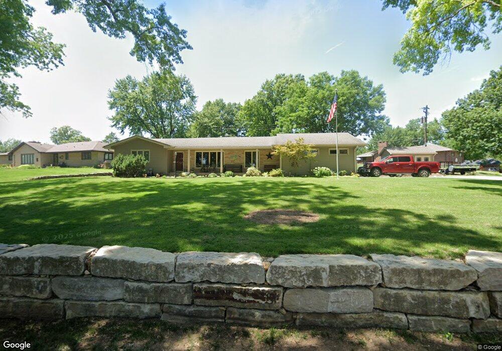
4716 SW Cedar Crest Rd Topeka, KS 66606
West Topeka NeighborhoodEstimated Value: $237,428 - $327,000
3
Beds
2
Baths
1,724
Sq Ft
$160/Sq Ft
Est. Value
About This Home
This home is located at 4716 SW Cedar Crest Rd, Topeka, KS 66606 and is currently estimated at $276,607, approximately $160 per square foot. 4716 SW Cedar Crest Rd is a home located in Shawnee County with nearby schools including McCarter Elementary School, Landon Middle School, and Topeka West High School.
Ownership History
Date
Name
Owned For
Owner Type
Purchase Details
Closed on
May 23, 2012
Sold by
Oshea John J and John J Oshea Trust
Bought by
Oshea John J and Oshea Marcele A
Current Estimated Value
Home Financials for this Owner
Home Financials are based on the most recent Mortgage that was taken out on this home.
Original Mortgage
$100,200
Interest Rate
3.9%
Mortgage Type
New Conventional
Create a Home Valuation Report for This Property
The Home Valuation Report is an in-depth analysis detailing your home's value as well as a comparison with similar homes in the area
Home Values in the Area
Average Home Value in this Area
Purchase History
| Date | Buyer | Sale Price | Title Company |
|---|---|---|---|
| Oshea John J | -- | First American Title |
Source: Public Records
Mortgage History
| Date | Status | Borrower | Loan Amount |
|---|---|---|---|
| Closed | Oshea John J | $100,200 |
Source: Public Records
Tax History Compared to Growth
Tax History
| Year | Tax Paid | Tax Assessment Tax Assessment Total Assessment is a certain percentage of the fair market value that is determined by local assessors to be the total taxable value of land and additions on the property. | Land | Improvement |
|---|---|---|---|---|
| 2025 | $3,250 | $24,129 | -- | -- |
| 2023 | $3,250 | $21,679 | $0 | $0 |
| 2022 | $2,928 | $19,531 | $0 | $0 |
| 2021 | $2,796 | $17,756 | $0 | $0 |
| 2020 | $2,683 | $17,238 | $0 | $0 |
| 2019 | $2,619 | $16,736 | $0 | $0 |
| 2018 | $2,544 | $16,248 | $0 | $0 |
| 2017 | $2,499 | $15,929 | $0 | $0 |
| 2014 | $2,524 | $15,929 | $0 | $0 |
Source: Public Records
Map
Nearby Homes
- 355 SW Yorkshire Rd
- 613 SW Grand Ct
- 759 SW Prairie Ct
- 906 SW Gage Blvd
- 833 SW Parkview St
- 741 SW Mifflin Rd
- 701 SW Watson Ave
- Lot 4 & .5 of 3 SW Balmoral Ln
- Lot 2 SW Balmoral Ln Unit and east 1/2 of Lot
- Lot 17 SW Balmoral Ln
- 5542 SW Stonegate Ct
- 1019 SW Exmoor Ln Unit Tract 17
- 1023 SW Exmoor Ln Unit Tract 16
- 912 SW Frazier Ave
- 3505 SW 10th Ave
- 1129 SW Prairie Rd
- 829 SW Oakley Ave
- 1212 SW New Forest Dr
- 614 SW Webster Ave
- 1022 SW Morna Dr
- 4728 SW Cedar Crest Rd
- 4711 SW Brentwood Rd
- 4701 SW Brentwood Rd
- 4721 SW Brentwood Rd
- 4723 SW Cedar Crest Rd
- 4715 SW Cedar Crest Rd
- 4738 SW Cedar Crest Rd
- 4801 SW Brentwood Rd
- 4729 SW Cedar Crest Rd
- 4707 SW Cedar Crest Rd
- 4813 SW Brentwood Rd
- 4737 SW Cedar Crest Rd
- 4714 SW Brentwood Rd
- 4705 SW West Hills Dr
- 4800 SW Cedar Crest Rd
- 4703 SW Cedar Crest Rd
- 4722 SW Brentwood Rd
- 4747 SW Cedar Crest Rd
- 4823 SW Brentwood Rd
- 4730 SW Brentwood Rd