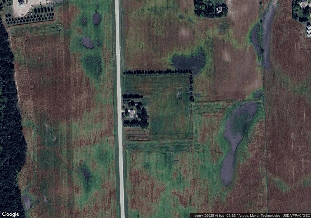
472 255th Ave Granada, MN 56039
Estimated Value: $160,000 - $440,000
3
Beds
2
Baths
1,920
Sq Ft
$135/Sq Ft
Est. Value
About This Home
This home is located at 472 255th Ave, Granada, MN 56039 and is currently estimated at $259,156, approximately $134 per square foot. 472 255th Ave is a home located in Martin County with nearby schools including Granada Huntley East Chain Elementary School and Granada-Huntley East Chain Secondary School.
Ownership History
Date
Name
Owned For
Owner Type
Purchase Details
Closed on
Oct 26, 2018
Sold by
Munsterman Beverly
Bought by
Hugoson Pork Inc
Current Estimated Value
Purchase Details
Closed on
Apr 7, 2017
Sold by
Munsterman Eldon and Munsterman Bevrly
Bought by
Munsterman Bevrly
Create a Home Valuation Report for This Property
The Home Valuation Report is an in-depth analysis detailing your home's value as well as a comparison with similar homes in the area
Home Values in the Area
Average Home Value in this Area
Purchase History
| Date | Buyer | Sale Price | Title Company |
|---|---|---|---|
| Hugoson Pork Inc | $145,000 | Jenkinson Abstract Co | |
| Munsterman Bevrly | -- | None Available |
Source: Public Records
Tax History Compared to Growth
Tax History
| Year | Tax Paid | Tax Assessment Tax Assessment Total Assessment is a certain percentage of the fair market value that is determined by local assessors to be the total taxable value of land and additions on the property. | Land | Improvement |
|---|---|---|---|---|
| 2025 | $2,390 | $232,400 | $125,000 | $107,400 |
| 2024 | $2,348 | $221,200 | $115,000 | $106,200 |
| 2023 | $2,088 | $220,300 | $115,000 | $105,300 |
| 2022 | $1,858 | $175,600 | $97,000 | $78,600 |
| 2021 | $1,818 | $141,000 | $84,000 | $57,000 |
| 2020 | $1,900 | $140,500 | $84,000 | $56,500 |
| 2019 | $2,210 | $129,000 | $78,000 | $51,000 |
| 2018 | $2,042 | $136,600 | $78,000 | $58,600 |
| 2017 | $1,124 | $60,100 | $22,815 | $37,285 |
| 2016 | $962 | $60,100 | $22,815 | $37,285 |
| 2015 | $941 | $61,900 | $23,059 | $38,841 |
| 2013 | $1,075 | $62,200 | $21,415 | $40,785 |
Source: Public Records
Map
Nearby Homes
- TBD 60th St
- 0 Xxx 60th St Unit LotWP001
- 1011 Iowa 15
- 775 200th Ave
- Lot 5 200th Ave
- Lot 1 200th Ave
- Lot 2 200th Ave
- Lot 3 200th Ave
- Lot 4 200th Ave
- Lot 6 200th Ave
- 2109 95th St
- 4908 100th Ave
- 2214 Red Bird Ln
- 2218 Red Bird Ln
- 2224 Red Bird Ln
- 1581 Meadowlark Ln
- 2413 Albion Ave
- 1600 S Prairie Ave
- 1145 Horatio St
- 1315 Adams Ave