Estimated Value: $221,000 - $285,000
3
Beds
1
Bath
1,264
Sq Ft
$198/Sq Ft
Est. Value
About This Home
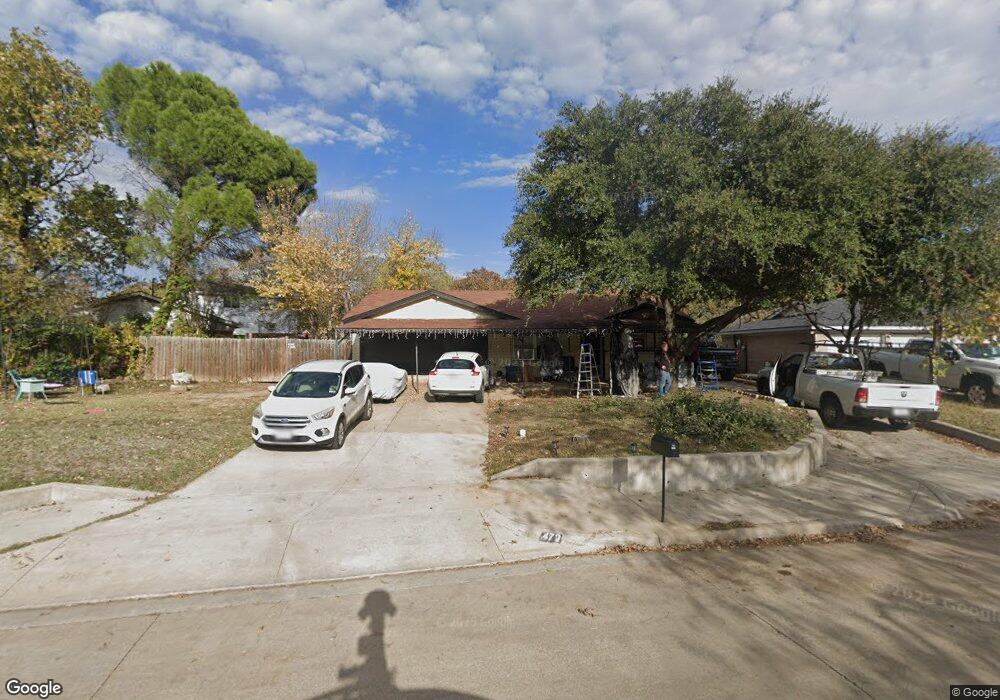
This home is located at 472 Arwine Dr, Hurst, TX 76053 and is currently estimated at $250,576, approximately $198 per square foot. 472 Arwine Dr is a home located in Tarrant County with nearby schools including Bellaire Elementary School, Hurst J High School, and L.D. Bell High School.
Ownership History
Date
Name
Owned For
Owner Type
Purchase Details
Closed on
Dec 5, 2003
Sold by
Texas Melons Inc
Bought by
Neece Paul M and Neece Cynthia K
Current Estimated Value
Purchase Details
Closed on
Aug 26, 2002
Sold by
Rem Services Inc
Bought by
Texas Melons Inc
Purchase Details
Closed on
Nov 19, 1999
Sold by
Kem Services Inc
Bought by
Fisher Norris L
Home Financials for this Owner
Home Financials are based on the most recent Mortgage that was taken out on this home.
Original Mortgage
$50,000
Interest Rate
7.93%
Mortgage Type
Purchase Money Mortgage
Purchase Details
Closed on
Jan 21, 1998
Sold by
Cambridge Mtg Corp
Bought by
Kem Services Inc
Purchase Details
Closed on
Mar 31, 1997
Sold by
Neece Paul M and Neece Cynthia K
Bought by
Cambridge Mtg Corp
Create a Home Valuation Report for This Property
The Home Valuation Report is an in-depth analysis detailing your home's value as well as a comparison with similar homes in the area
Home Values in the Area
Average Home Value in this Area
Purchase History
| Date | Buyer | Sale Price | Title Company |
|---|---|---|---|
| Neece Paul M | -- | -- | |
| Texas Melons Inc | -- | -- | |
| Fisher Norris L | -- | Commonwealth Land Title | |
| Kem Services Inc | -- | -- | |
| Cambridge Mtg Corp | -- | -- |
Source: Public Records
Mortgage History
| Date | Status | Borrower | Loan Amount |
|---|---|---|---|
| Previous Owner | Fisher Norris L | $50,000 |
Source: Public Records
Tax History Compared to Growth
Tax History
| Year | Tax Paid | Tax Assessment Tax Assessment Total Assessment is a certain percentage of the fair market value that is determined by local assessors to be the total taxable value of land and additions on the property. | Land | Improvement |
|---|---|---|---|---|
| 2025 | $455 | $165,083 | $50,000 | $115,083 |
| 2024 | $455 | $165,083 | $50,000 | $115,083 |
| 2023 | $2,943 | $146,880 | $35,000 | $111,880 |
| 2022 | $3,372 | $146,461 | $35,000 | $111,461 |
| 2021 | $3,437 | $142,498 | $35,000 | $107,498 |
| 2020 | $3,356 | $153,625 | $35,000 | $118,625 |
| 2019 | $3,103 | $154,745 | $35,000 | $119,745 |
| 2018 | $971 | $115,265 | $15,000 | $100,265 |
| 2017 | $2,652 | $115,372 | $15,000 | $100,372 |
| 2016 | $2,411 | $134,340 | $15,000 | $119,340 |
| 2015 | $1,043 | $86,600 | $15,000 | $71,600 |
| 2014 | $1,043 | $86,600 | $15,000 | $71,600 |
Source: Public Records
Map
Nearby Homes
- 1501 Woodridge Cir
- 1407 Woodridge Cir
- 712 Brookfield Dr
- 720 Tanglewood Dr
- 1302 Woodridge Cir
- 704 Tanglewood Dr
- 716 E Pecan St Unit 716 - 722
- 1309 Driftwood Dr
- 1200 Tanglewood Trail
- 812 Forest Hollow Dr
- 212 E Ellen Ave
- 832 Chateau Valee Cir
- 3216 Jetranger Rd
- 508 Oak Park Dr
- 849 Russell Ln
- 803 Glenda Dr
- 260 Corinna Ct
- 120 Donald Dr
- 644 Caduceus Ln
- 802 Brown Trail